Part 2: Life On The Desert

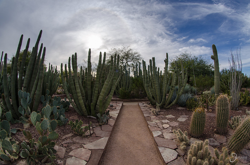
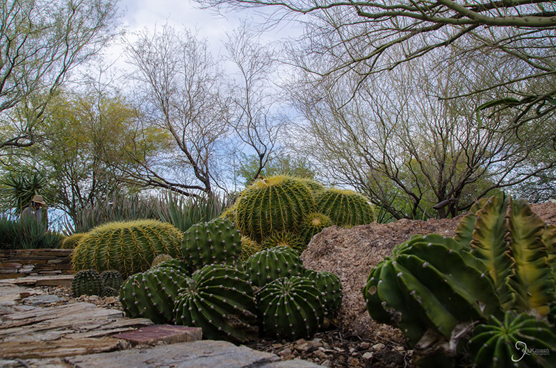
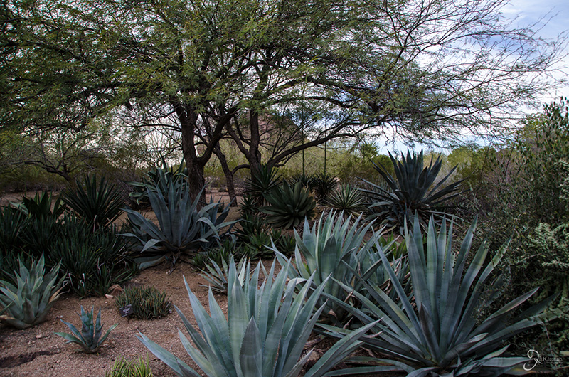
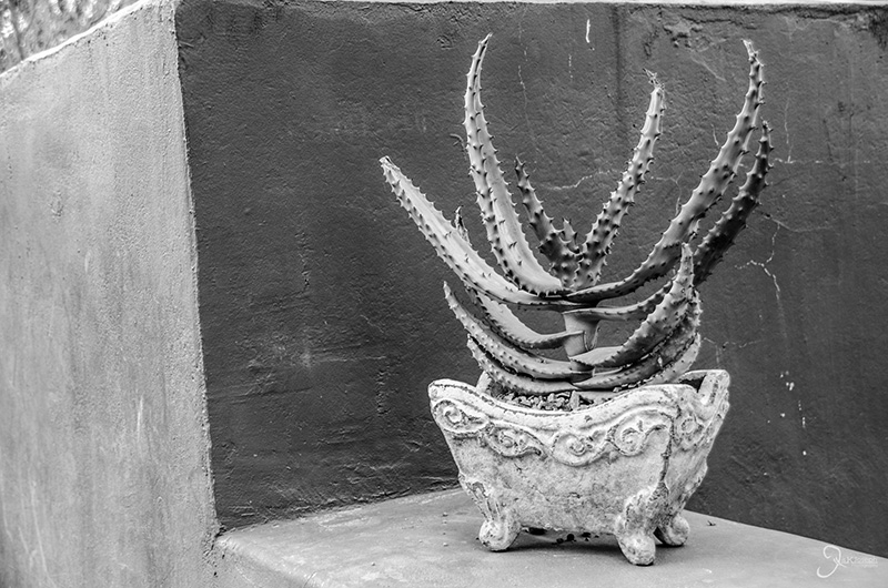
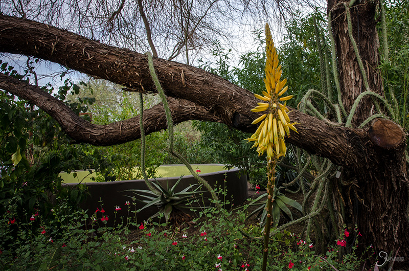
Desert Botanical Garden

Scottsdale, Arizona

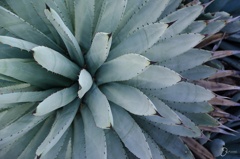
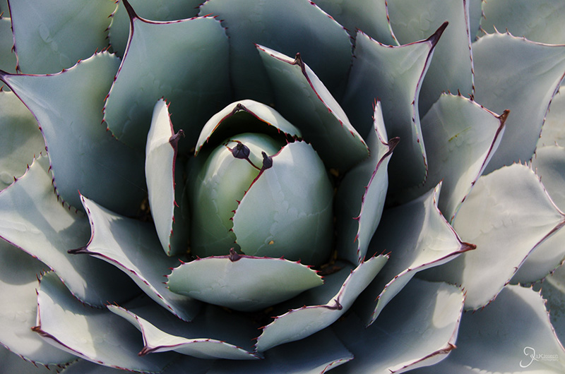
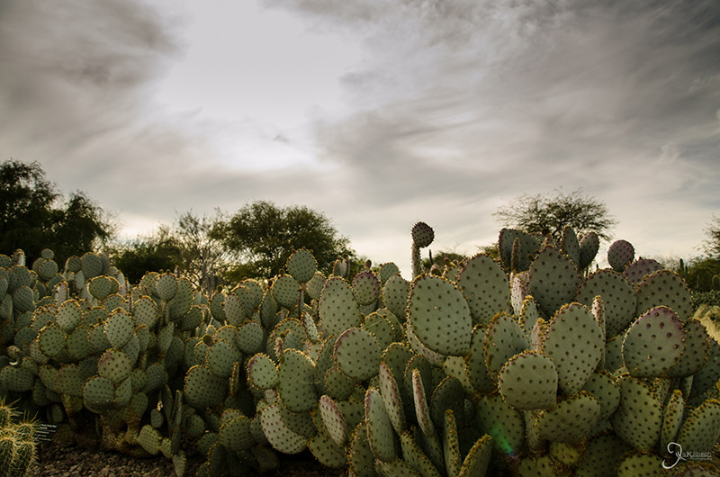
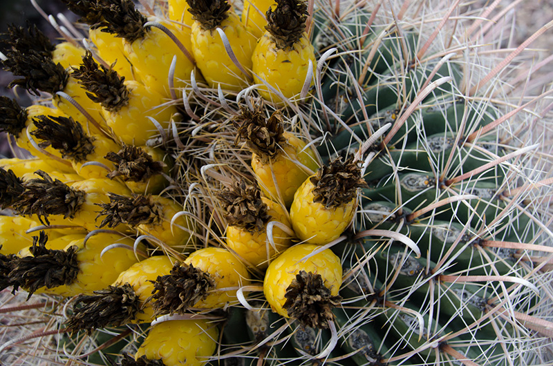
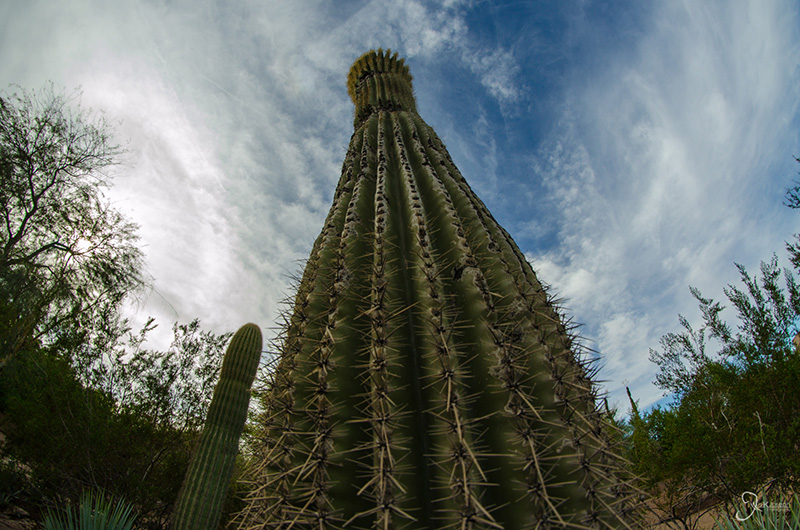
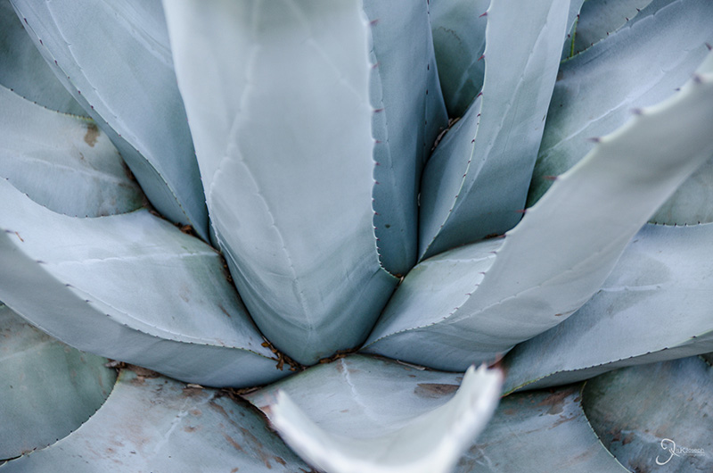
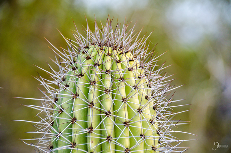
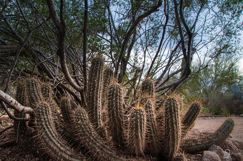
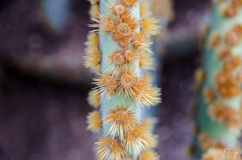
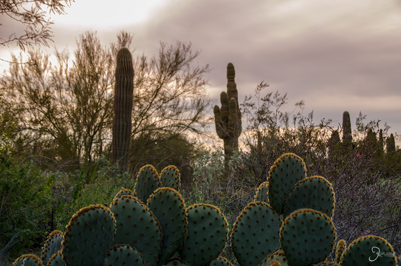
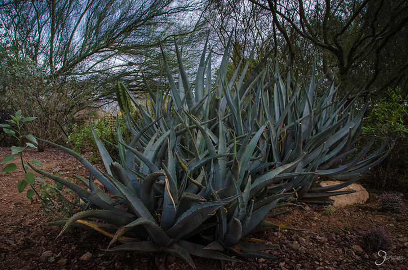
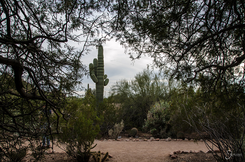
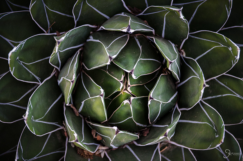
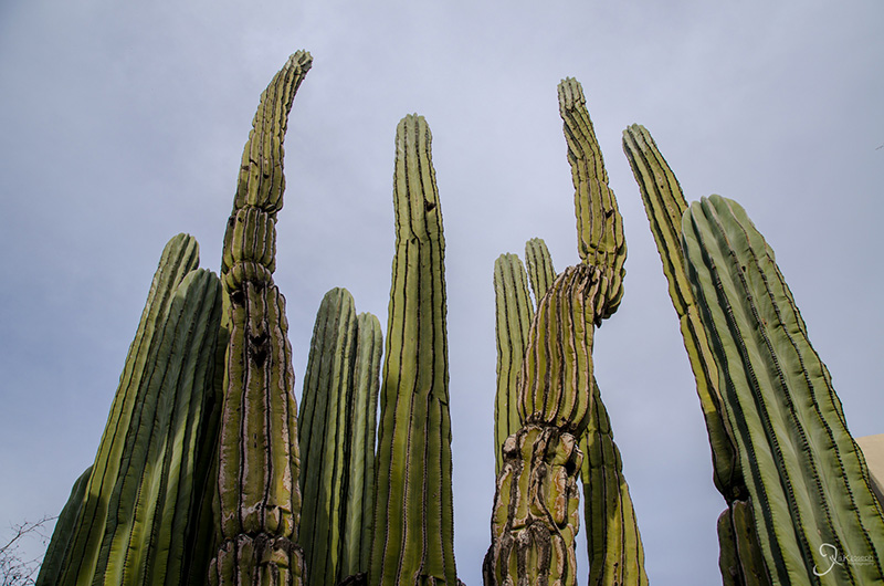
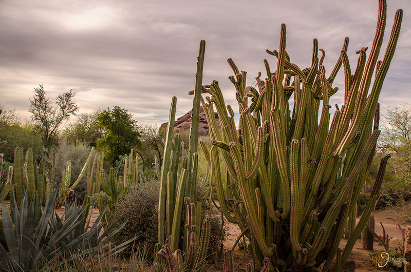
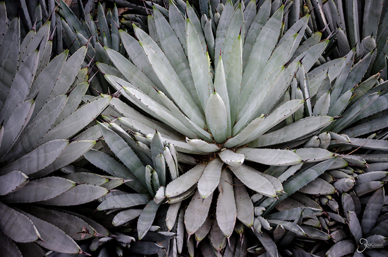
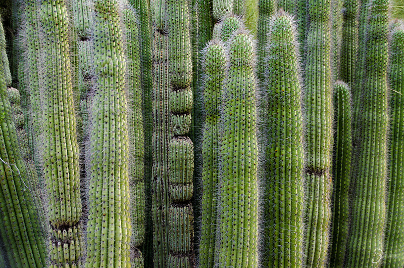
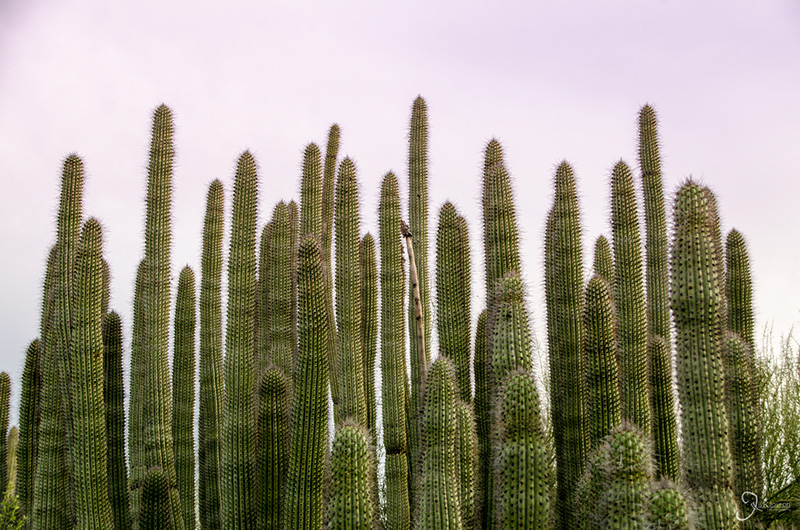
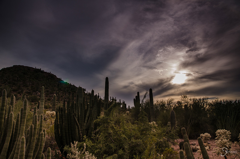
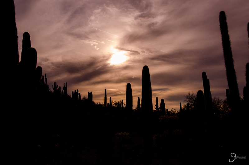
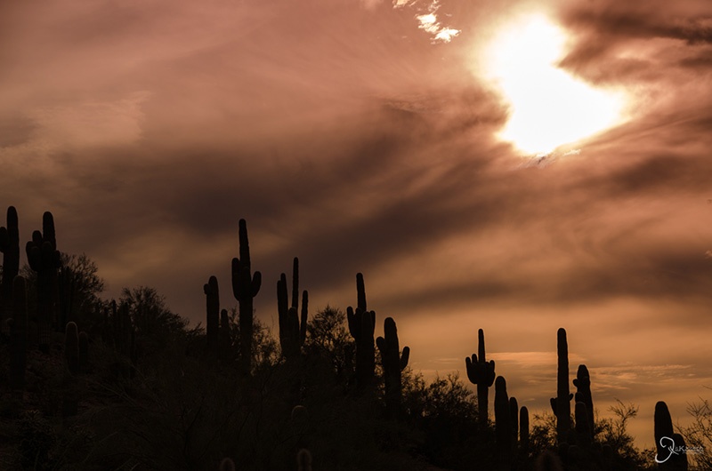
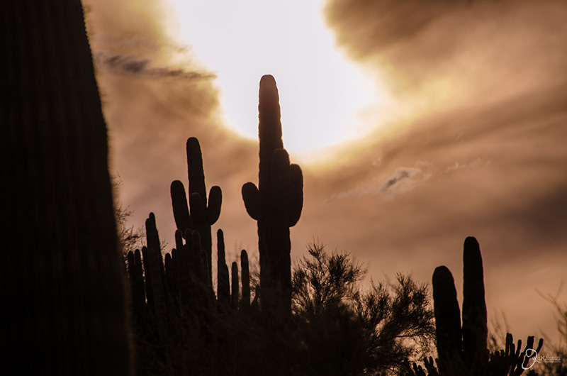
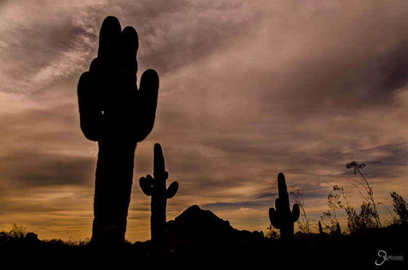
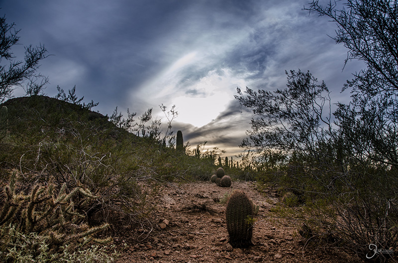
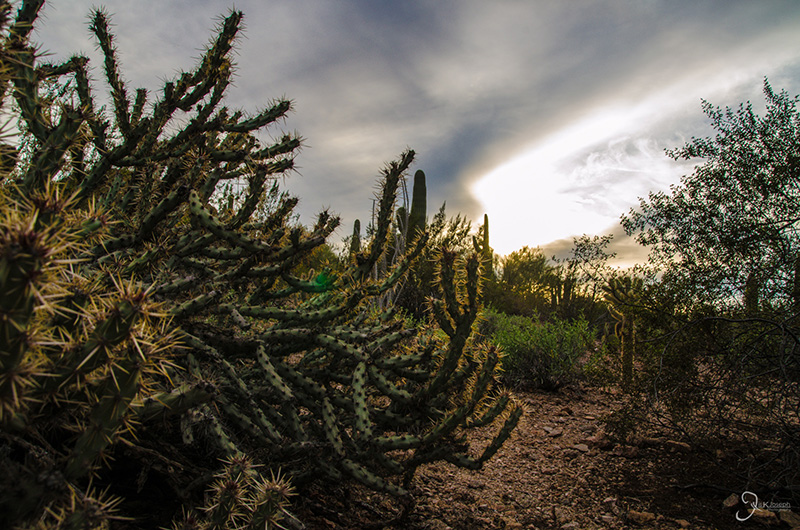
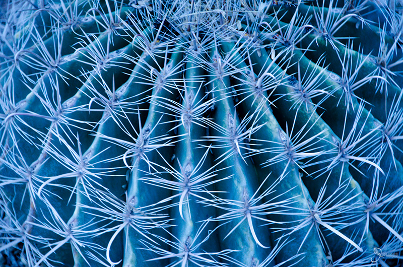
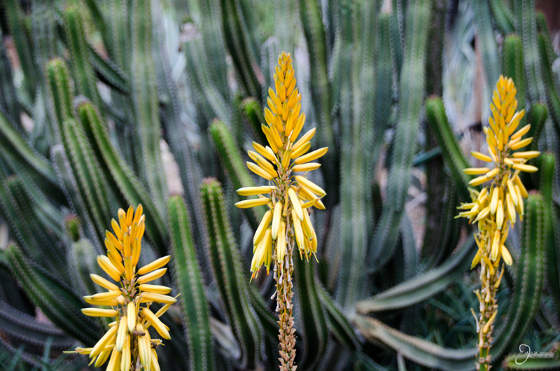
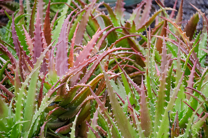
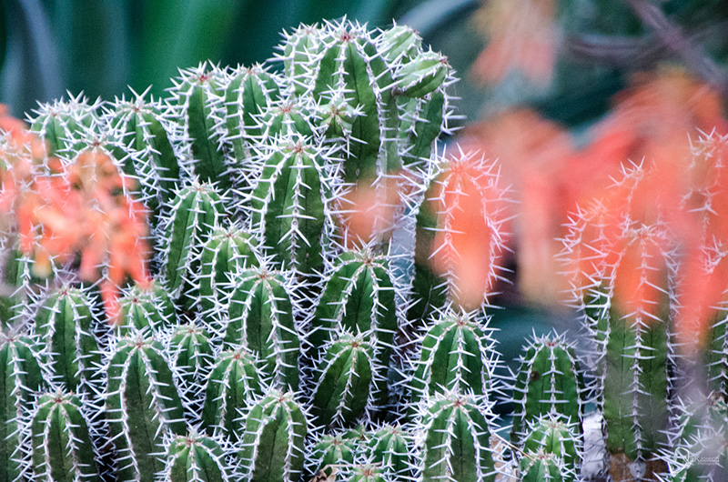
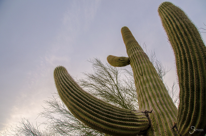
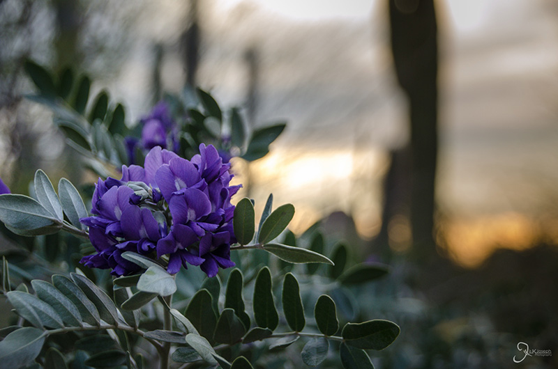
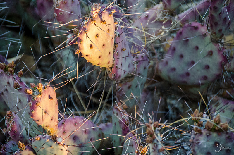
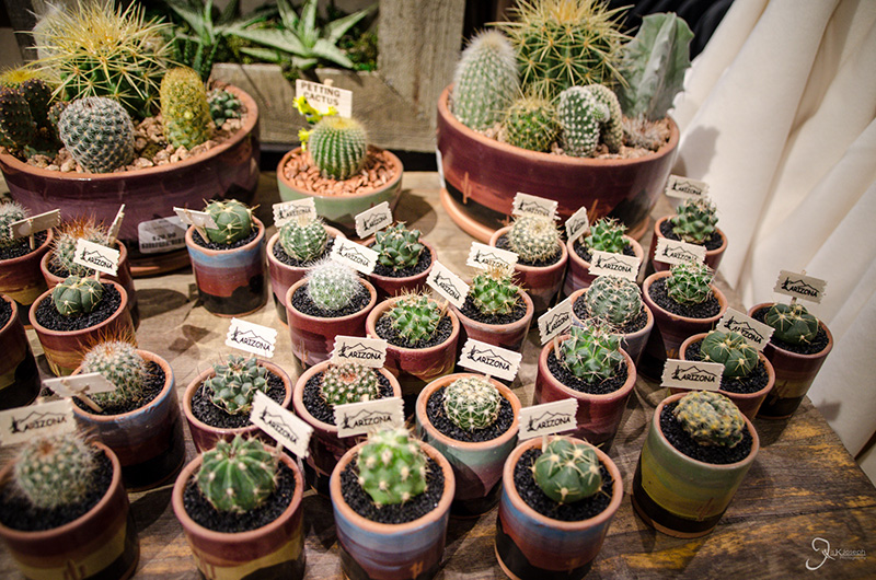
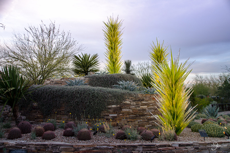
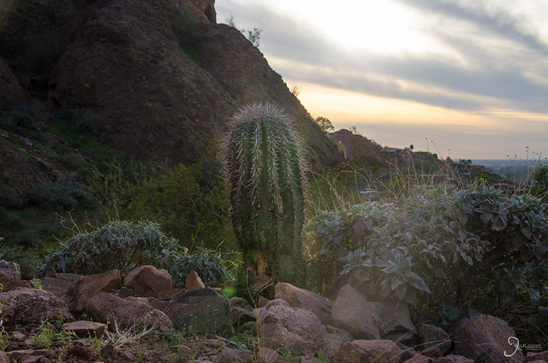
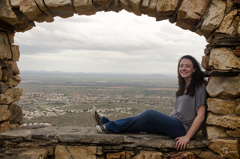
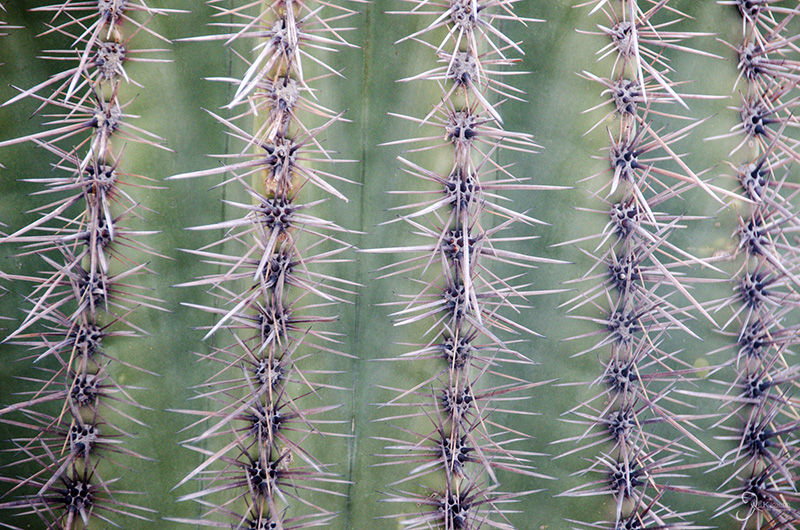
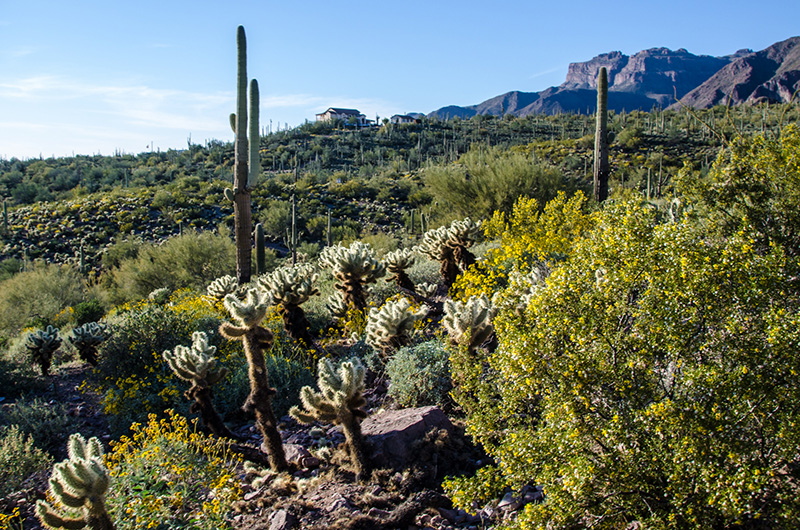
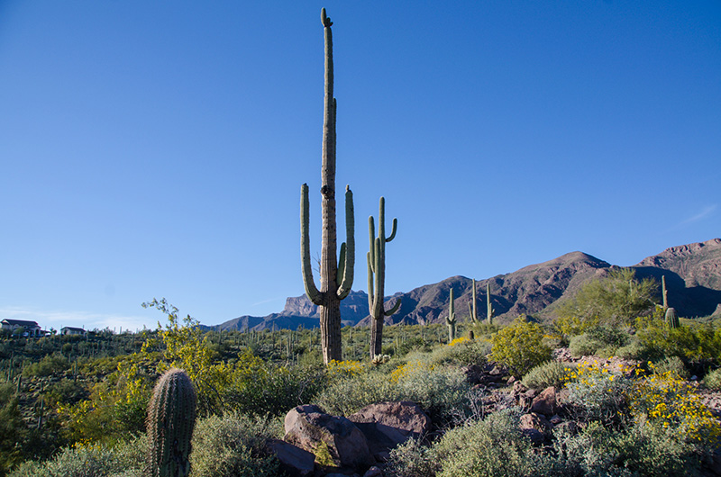
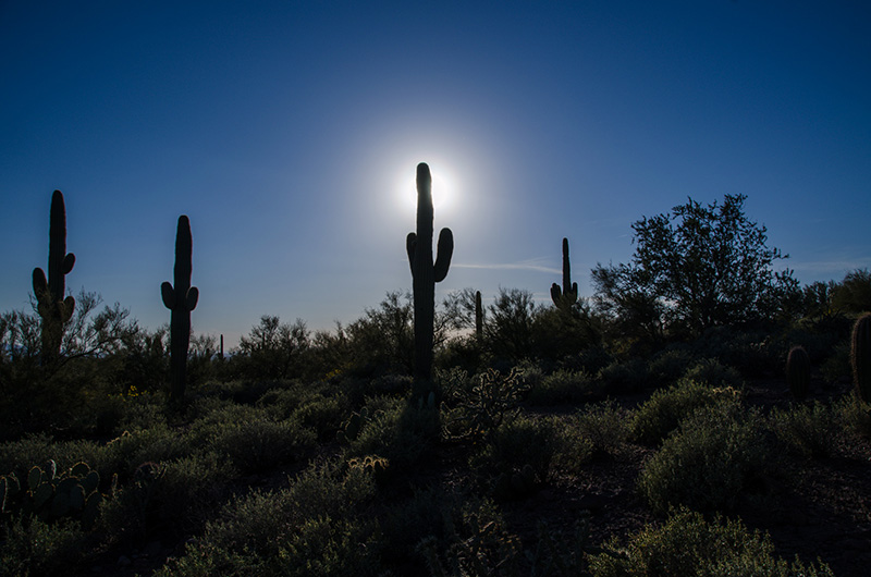
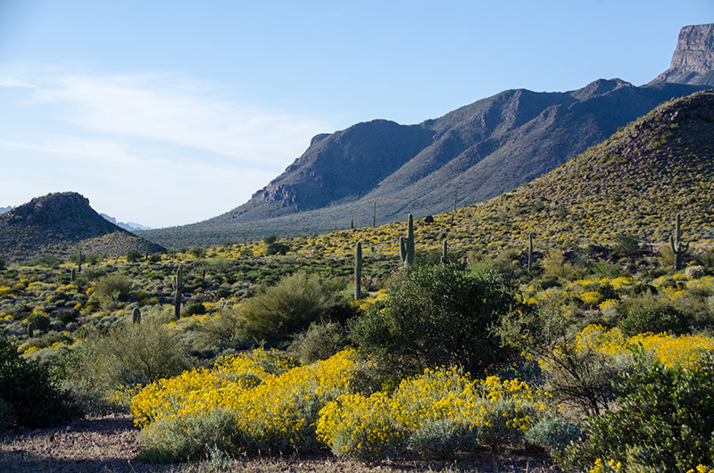
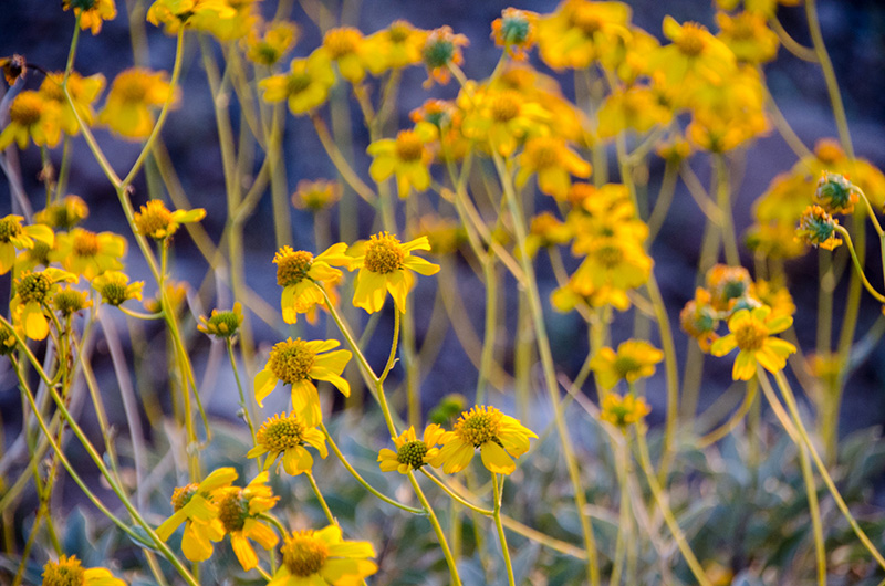
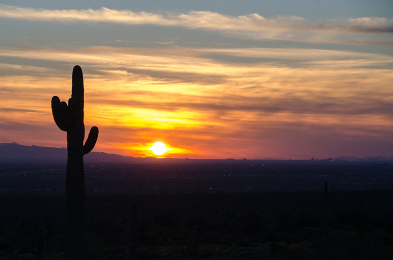
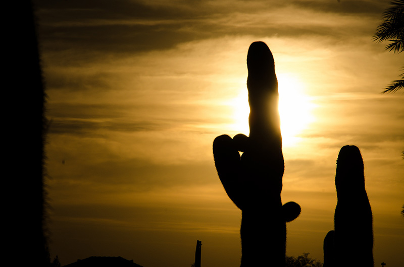
The beautiful sight of seeing the saguaro cactus, as well as the hundreds of other varieties of succulents that naturally grow in the Arizona dessert, influenced my decision to visit the desert botanical garden. Although I have visit several botanical gardens, each with an exhibit dedicated to plants from dry climates, Arizona's botanical garden devoted to cacti made this a unique adventure!
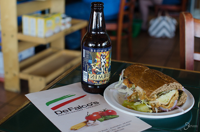
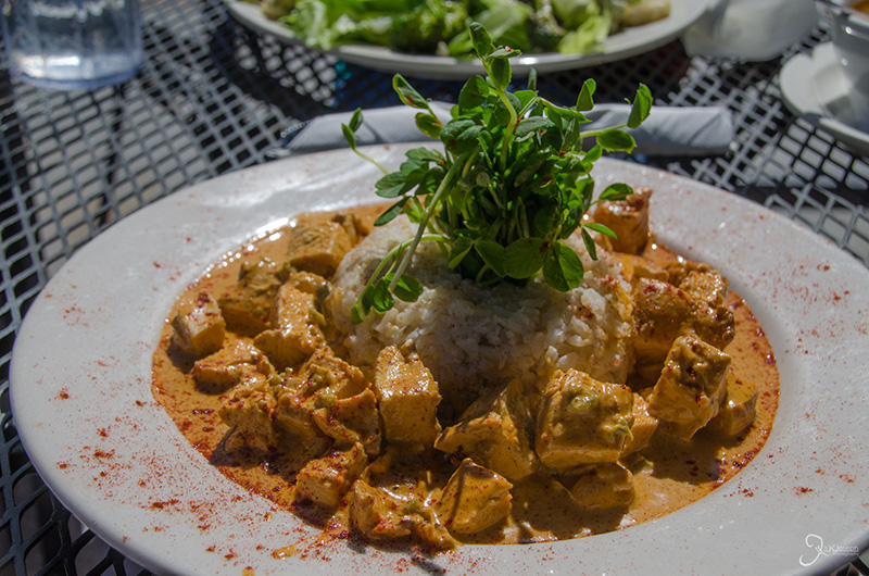
I eventually learned that Phoenix is a big foodie-city. Although not as diverse as Atlanta, Phoenix's collection of great taste made my life on the desert very memorable. Prior to visiting the garden I stopped by near by DeFalco's Itallian Deli for some local italian flavor and Nimbus beer, which is locally brewed. All in all, ood Network recommended, Jis Joseph approved!
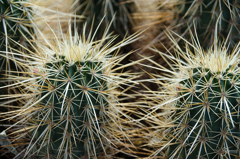
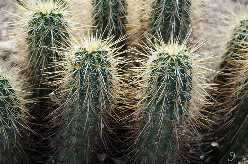
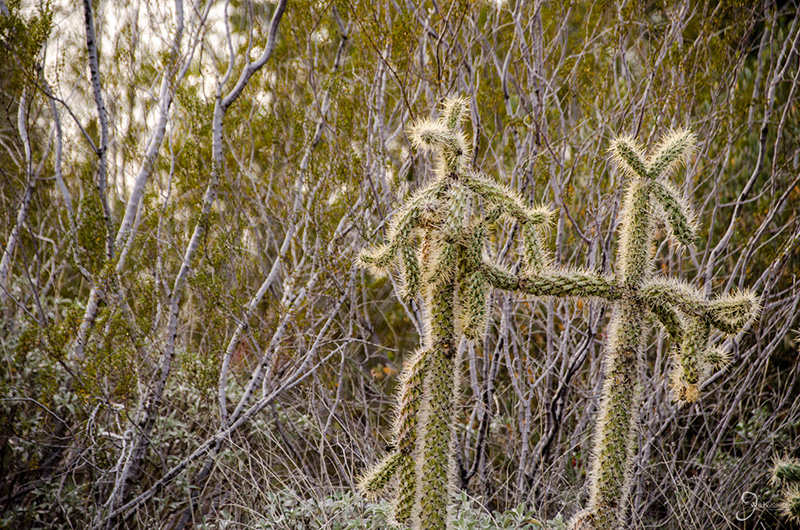
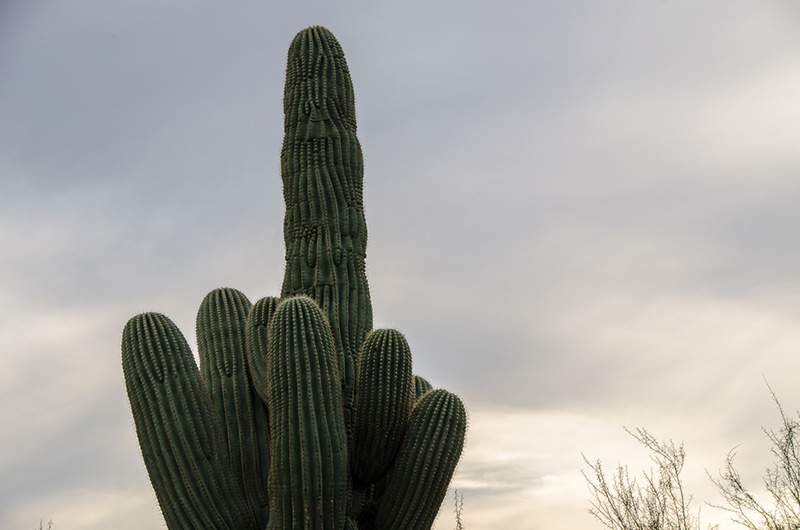
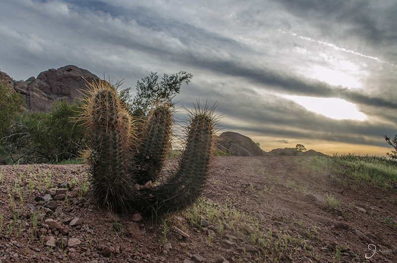
A very rude cactus that looks like it's giving me the bird.
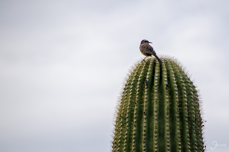
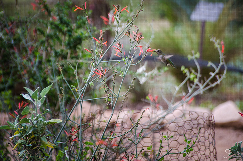
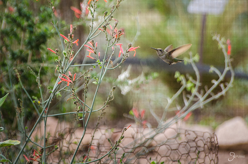
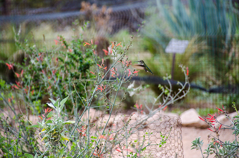
I took several photos trying to capture a humming bird on film. This is one of the few shots that was not blurry.
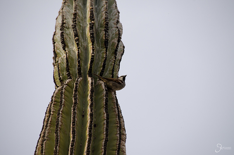
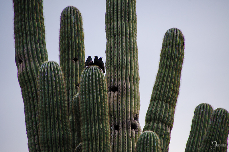
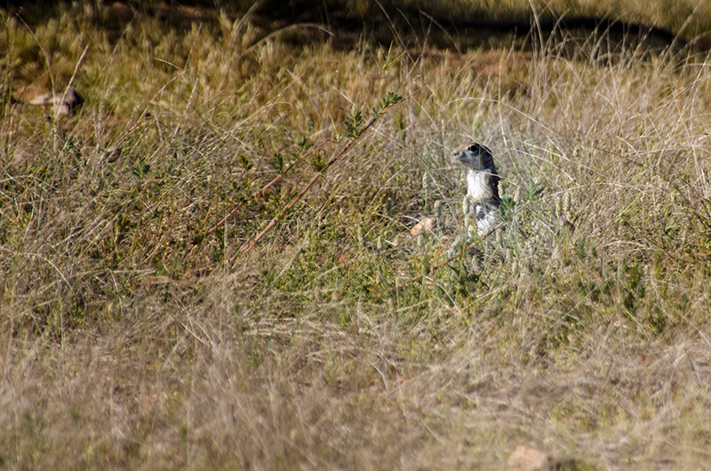
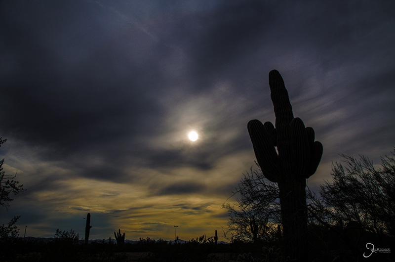
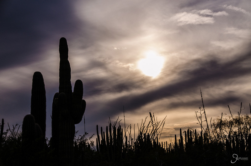
A family of birds just outside their home in the saguaro cactus.

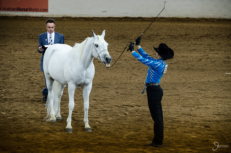
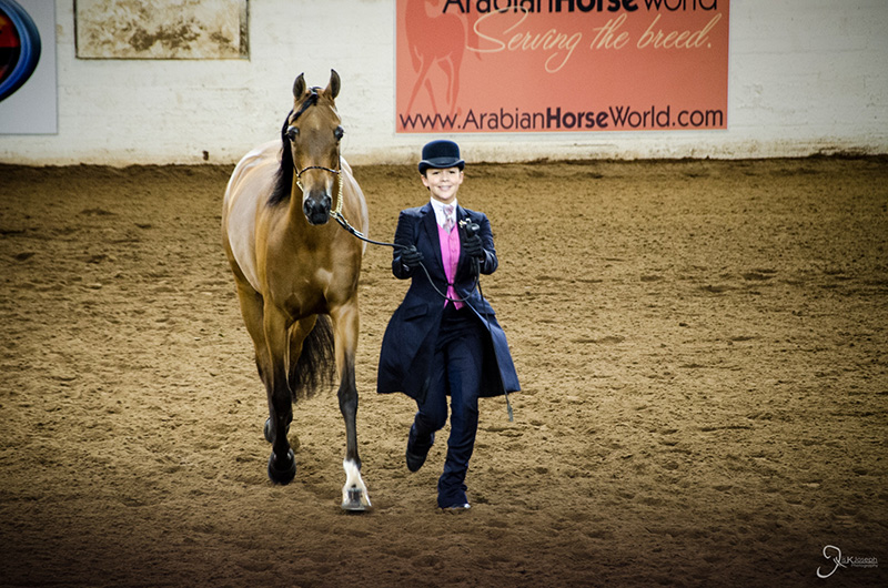
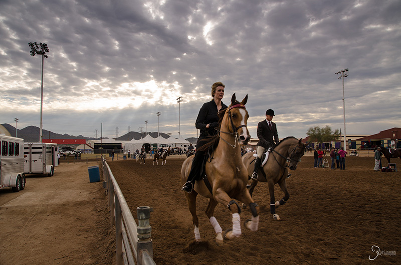
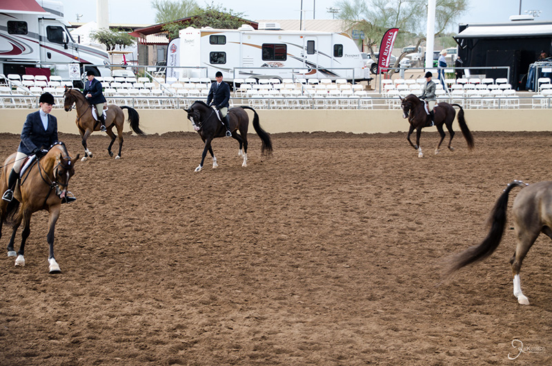
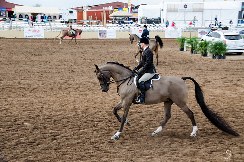
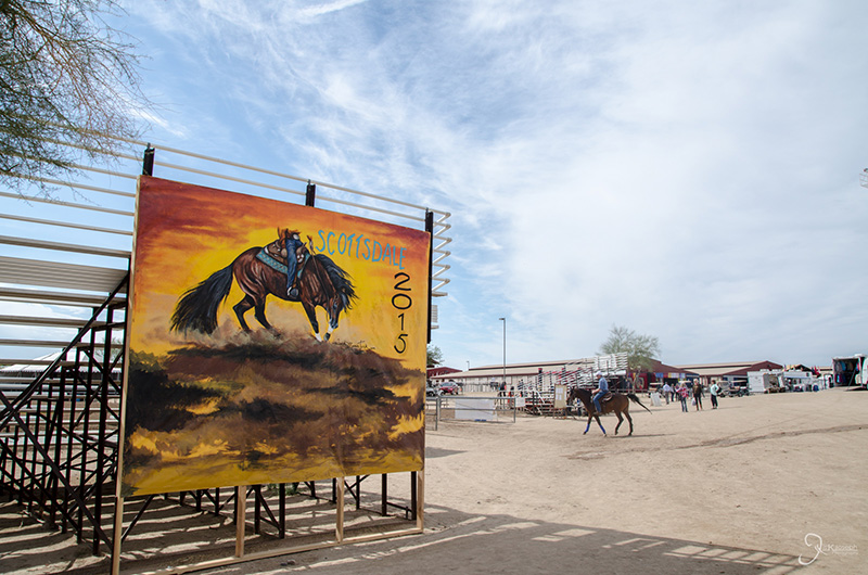
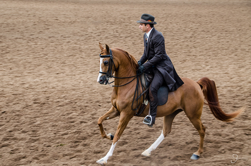
Arabian Horse Show

Scottsdale, Arizona

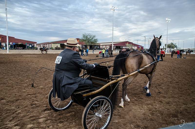
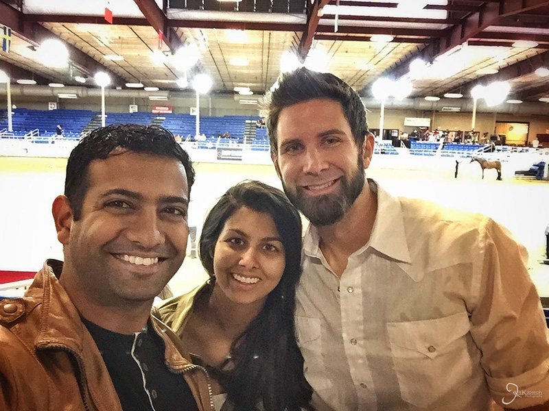
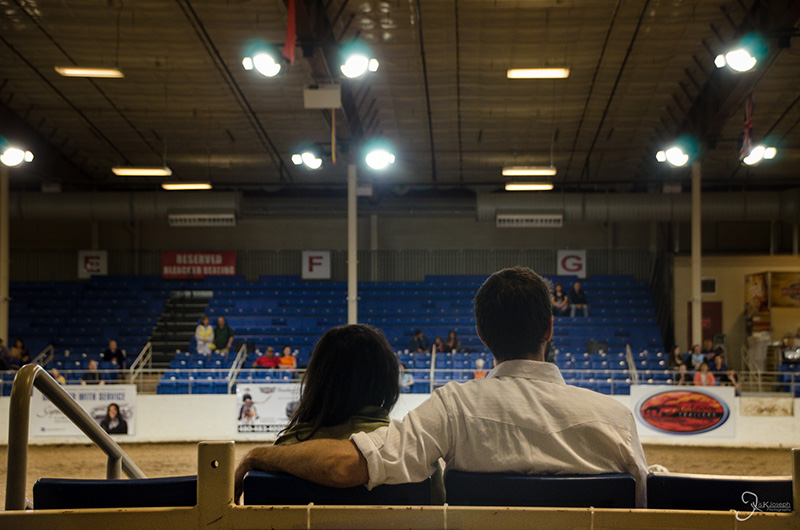
Because of my unforseen reassignment to work at the Phoenix Indian Medical Center to complete my final clinical rotation with Indian Health Services, I scrambled to find a place to stay during my five week visit in Phoenix. Fortunately my long time friend Corinna, and her soon to be husband, Cody, took me in with open arms and made the continuation of my roadtrip possible! On my second day in Phoenix Cody and Corinna took me to the Scottsdale Arabian Horse Show, world largest arabian horse show that is held in Scottsdale, Arizona annually. Although I don't have a particular liking to horse culture, I became educated on it and never realized how big the horse entertainment world was.

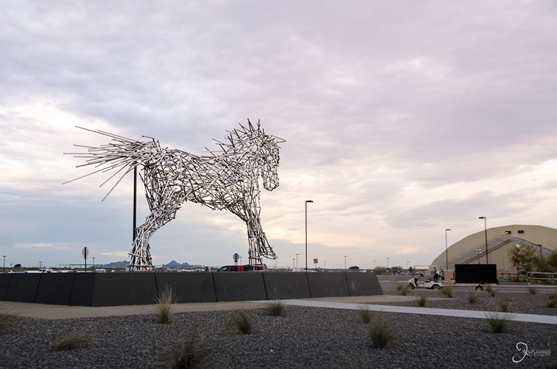
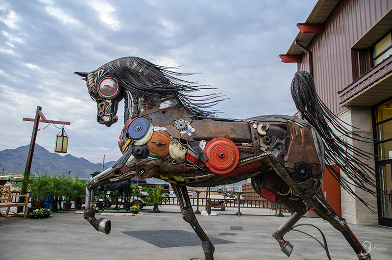
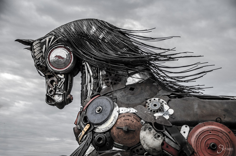
A horse made of recycled metals was on display at the ticketing entrance.

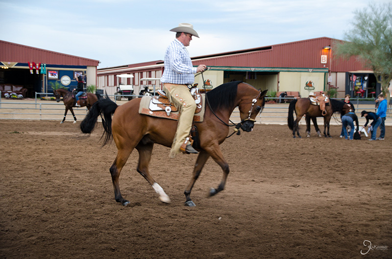
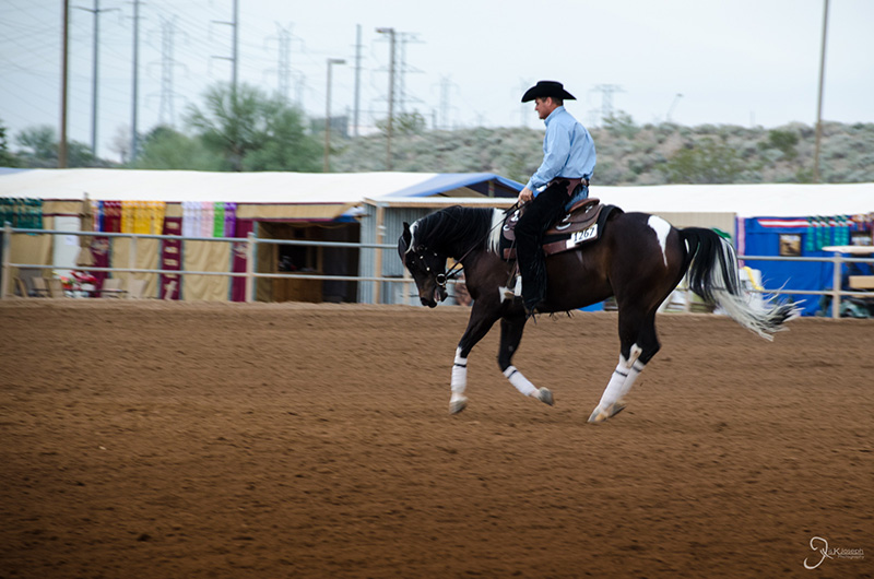
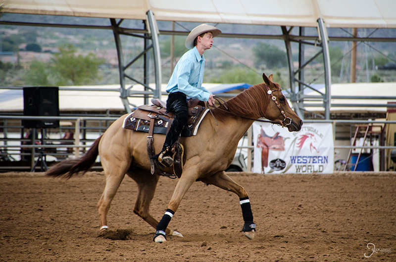
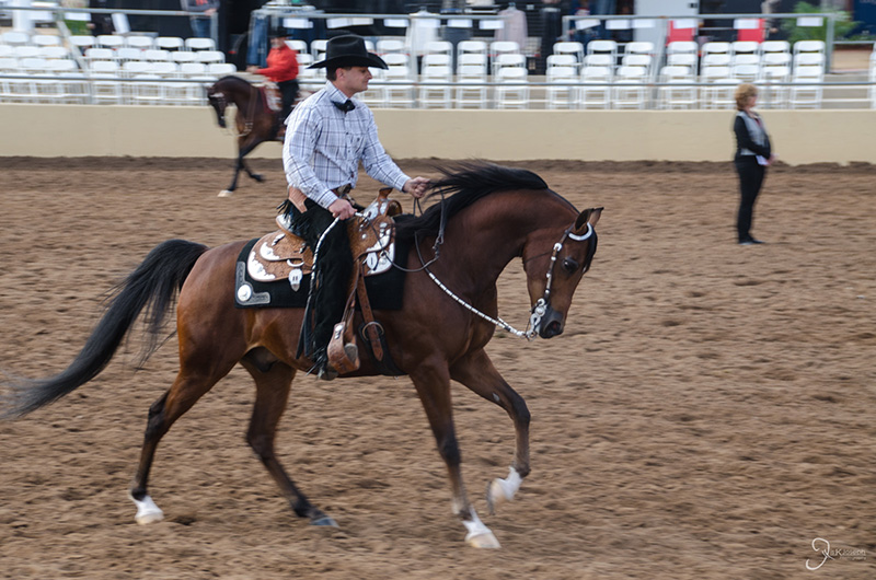
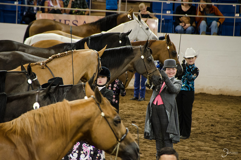
The most popular event to watch was reigning, which is when the horse "dances" according to its rider's commands. The dance moves I saw were mostly trotts, gallops, and moving around in dizzying circles.

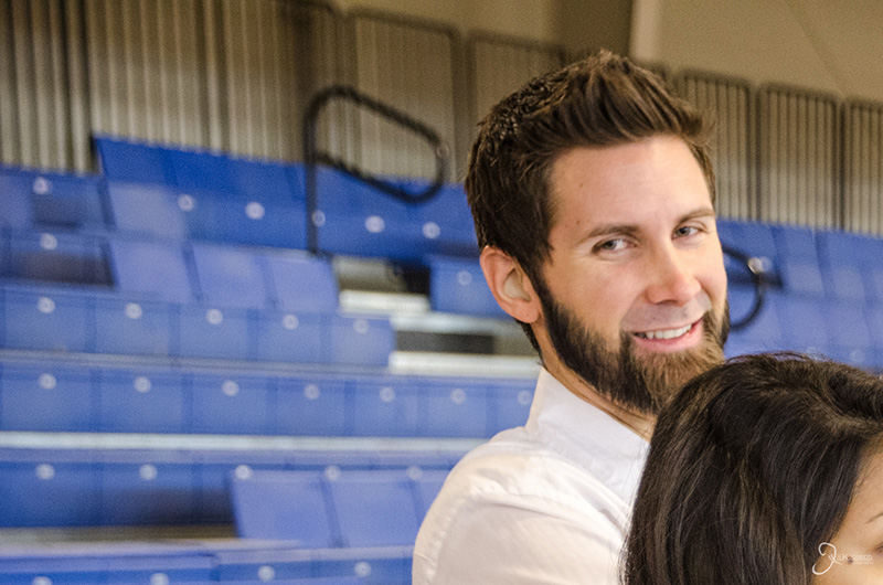
Corinna and Cody, The couple I have to thank for helping me graduate on time, helping me to continue with my roadtrip, and for showing me the amazing state of Arizona!

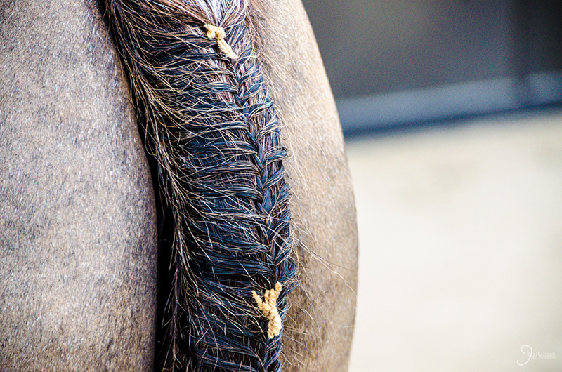
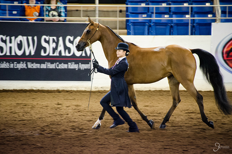
Riders made sure every inch of their horse were presentable to the judges, right down to their braided tails.

Not everyone took the competition seriously.

Ouch!

This is serious!

My temporary roommate, Cody. This guy introduced me to much of what Arizona had to offer me during my short stay.

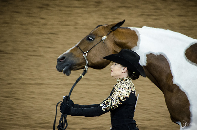
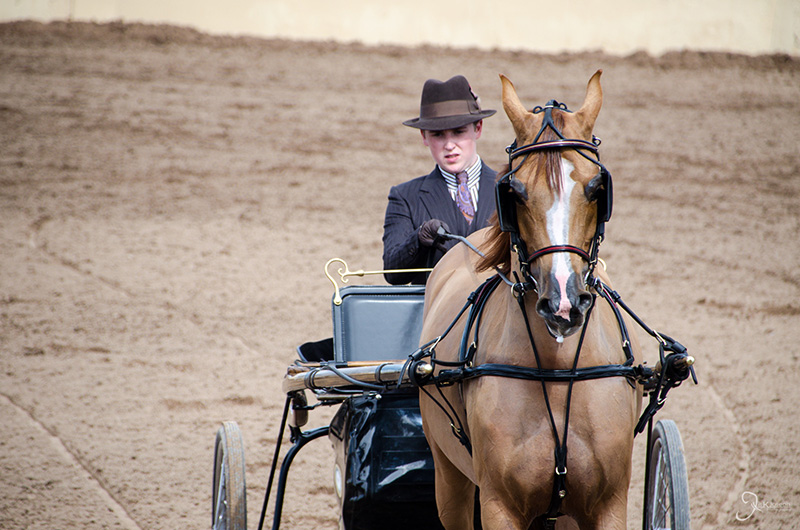
Many of the riders suited up like elegant 1930's gangsters.

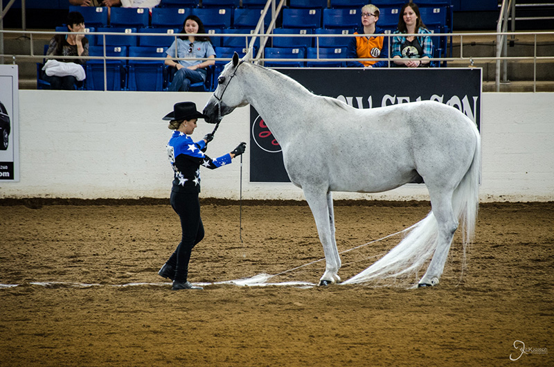
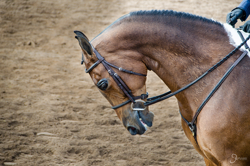
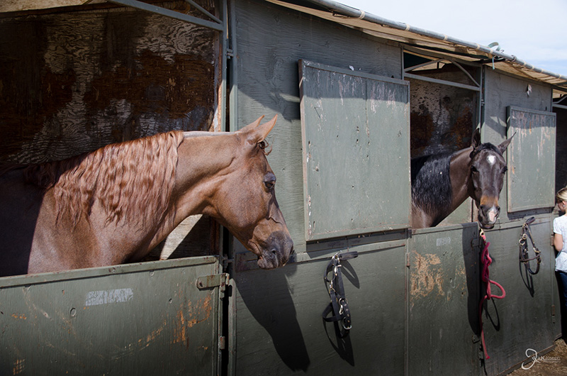
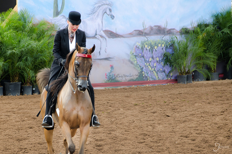
For me, the most defining feature of Arabian horses wis their stature. Unlike most other horses, Arabian horses bend their heads downwards and look up.

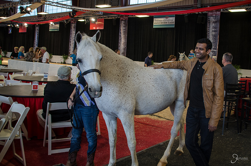
For sale! Some horses have been auctioned off for more than 20k!

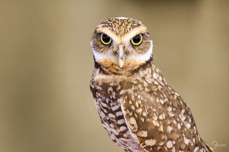
This place was a hoot!

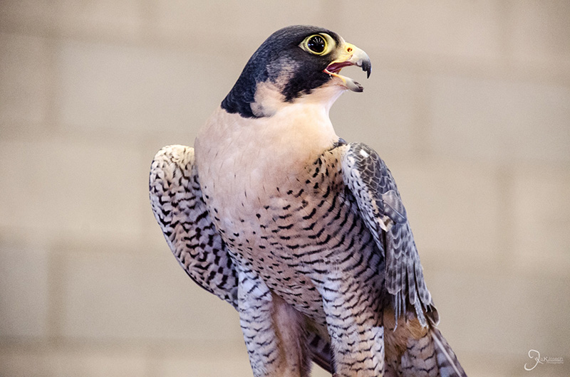
The peregrine falcon. The fastest animal on the planet.

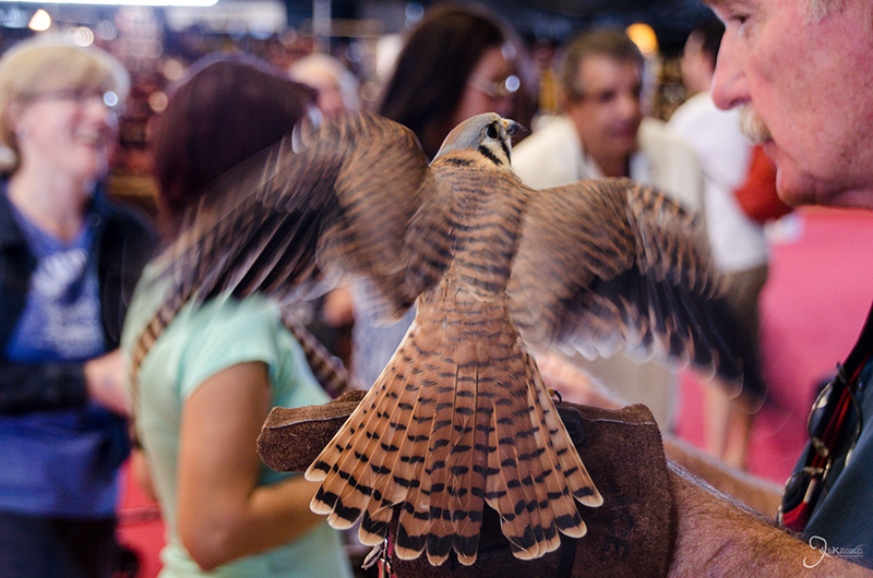
Starting them young.


Musical Instrument Museum

Scottsdale, Arizona

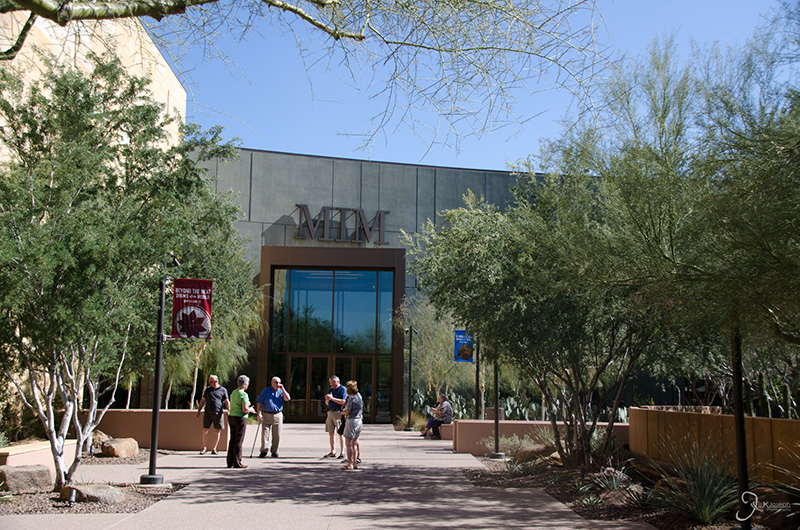
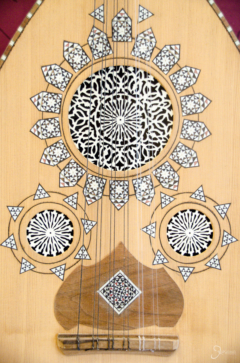
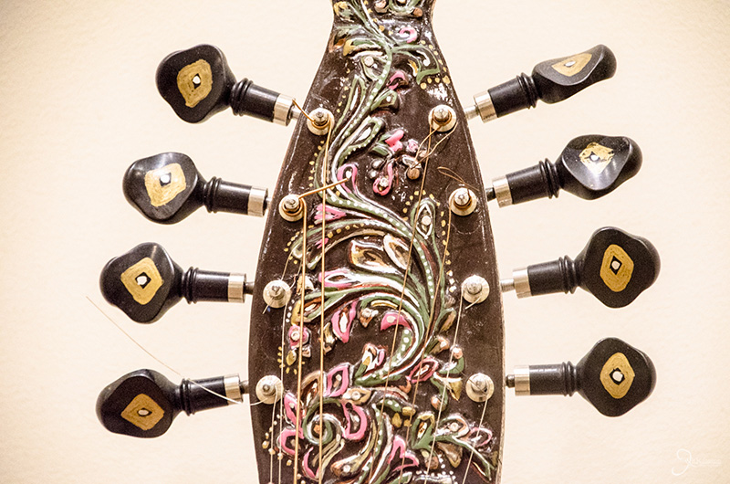
On my next adventure I explored one of the most unique museums ever conceived by man: the Musical Instrument Museum. Being a museum that stimulates the auditory senses, my photos don't capture the five plus hours of fun, sounds, and learning that I experienced as I toured a wide collection of instruments from nearly every culture on this planet.

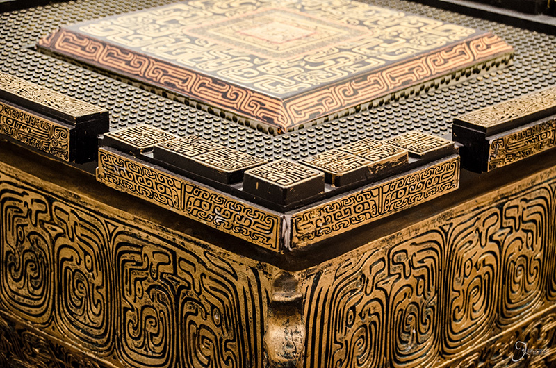
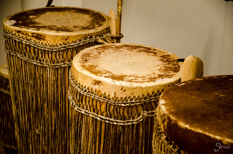
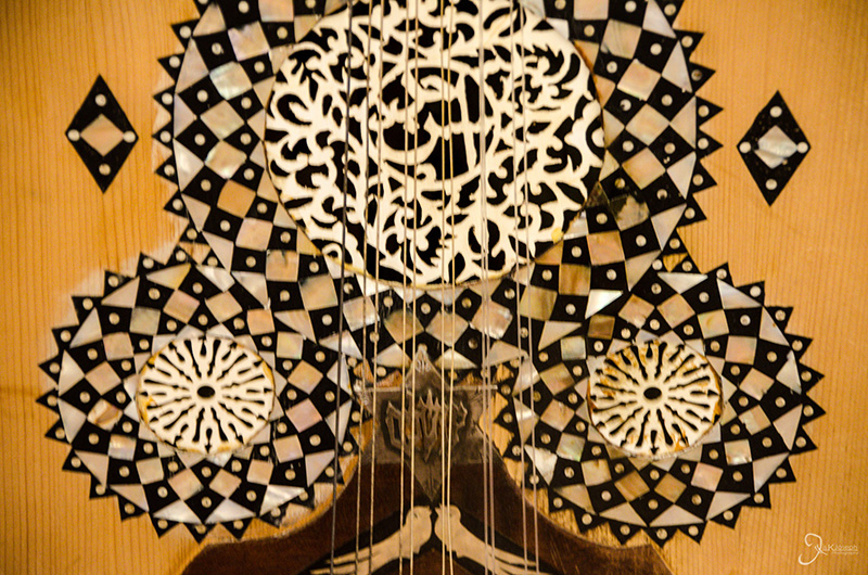
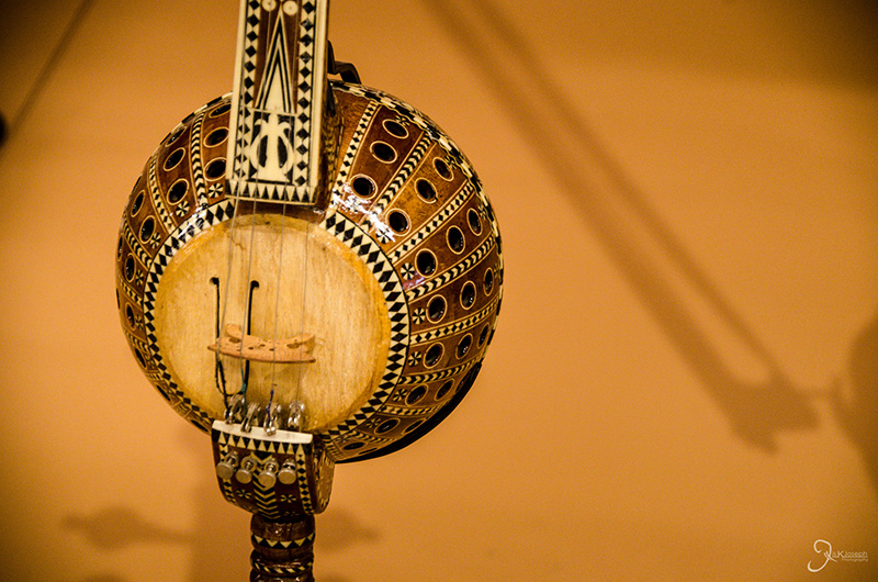
The instruments themselves were works of art.

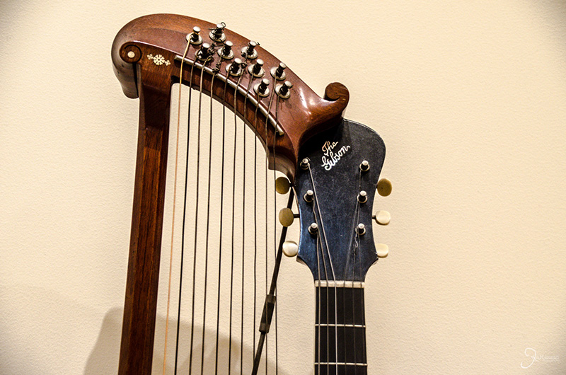
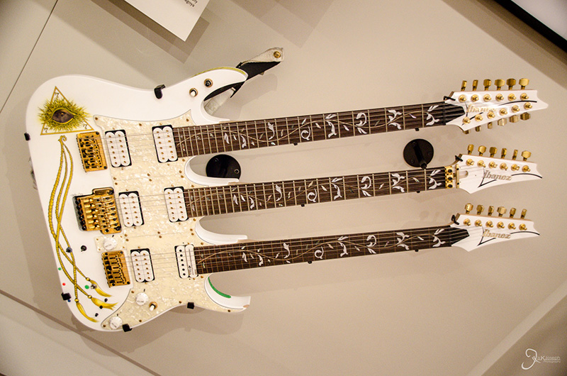
One part guitar, two parts harp.

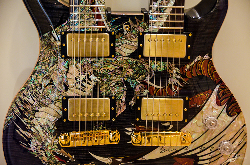
It takes two baby.

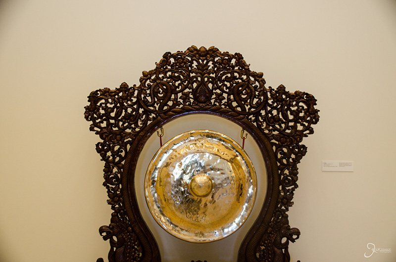
A gong from thailand.

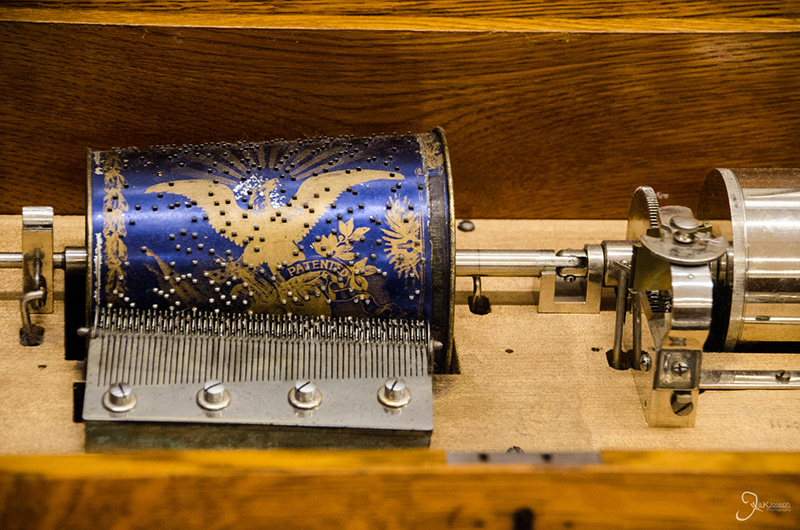
The inside of one of the many antique music boxes on display.

you might as well get a piano./p>

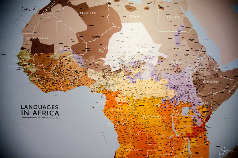
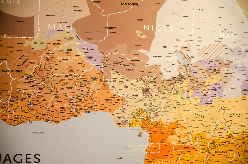
All the languages in Africa graphically depicted.

An astounding number of languages in central Africa alone.

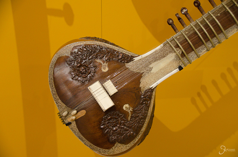
A sitar from my motherland.

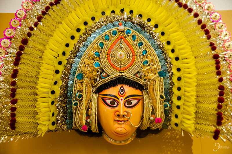
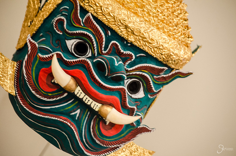
The headdress worn by a specialized south indian dance known as kathakali.

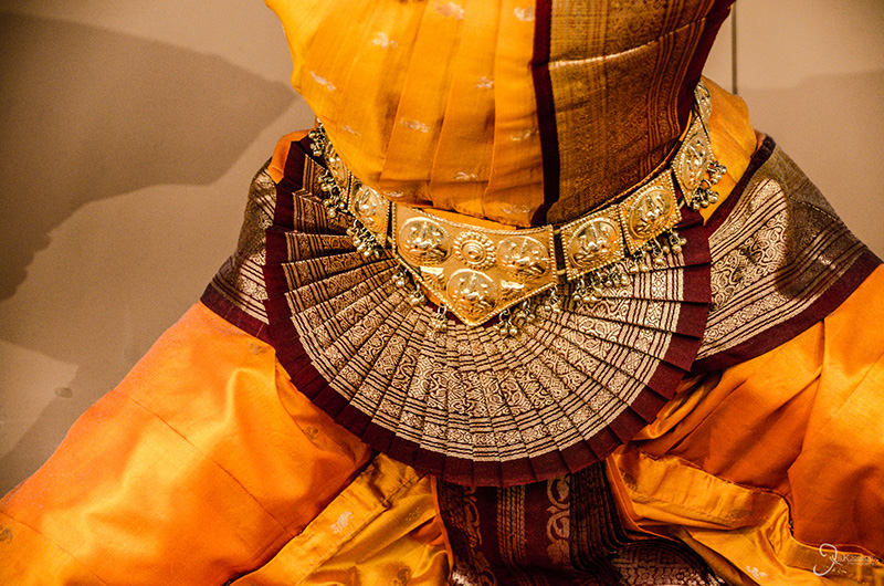
The ornate dance costume of a bharathanatyam dancer.

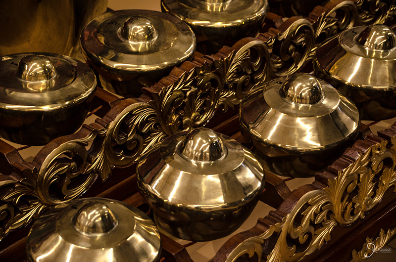
A temple "bell" xylophone from Indonesia.

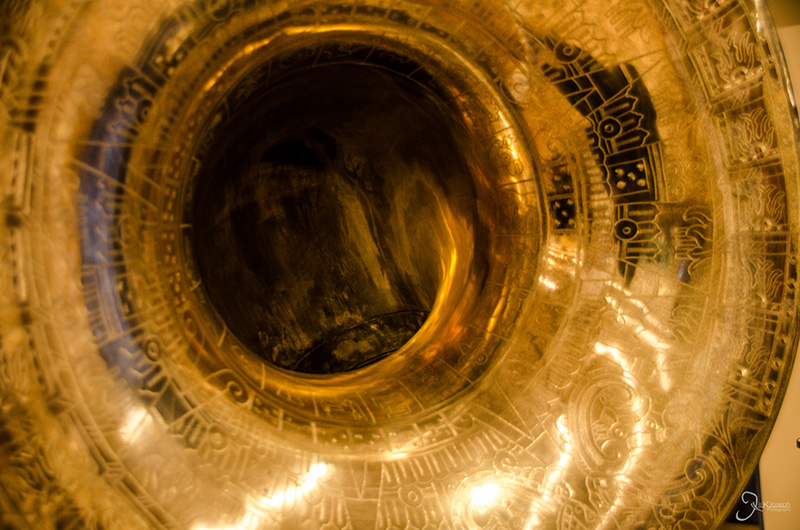
The ornate opening of a trumpet.

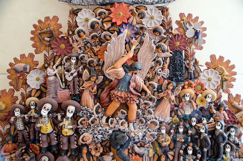
A depiction of the Mexican tale, "The Book of Life."

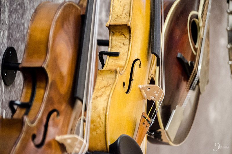
Violins.

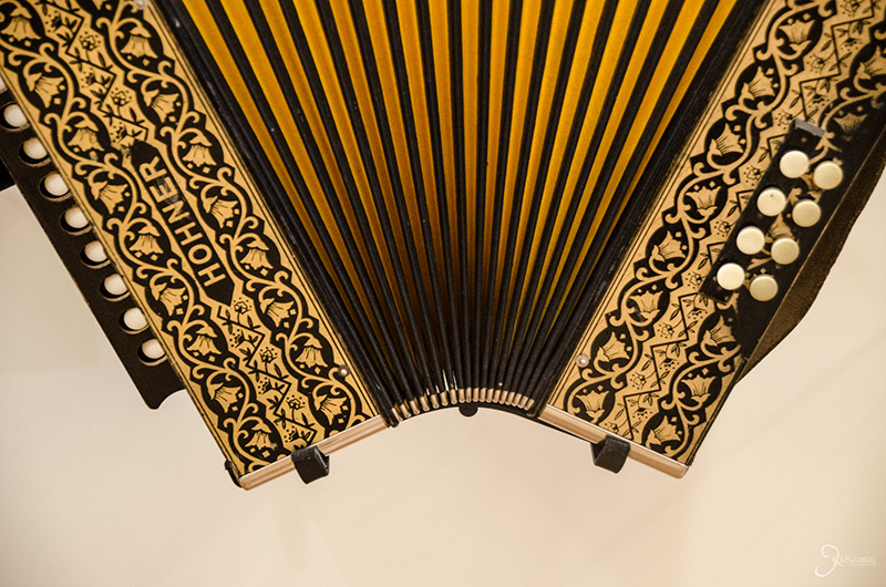
An accordion.

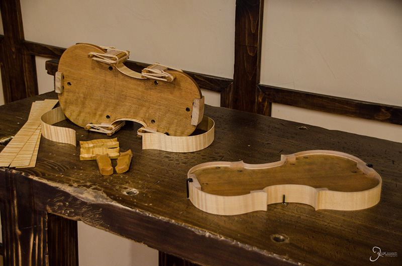
The birth of a violin.


Phoenix

Phoenix, Arizona

My commutes from where I slept in Chandler, to where I worked, near downtown Phoenix, would take more than an hour due to the heavy rush hour traffic. Instead of rotting away in Phoenix's traffic I made it a goal to see some aspect of Arizona after work each day until traffic died down. This would be going to a new resturante, hiking up one of the hundreds of trails that wind in and around the city, or reconnecting with old friends.

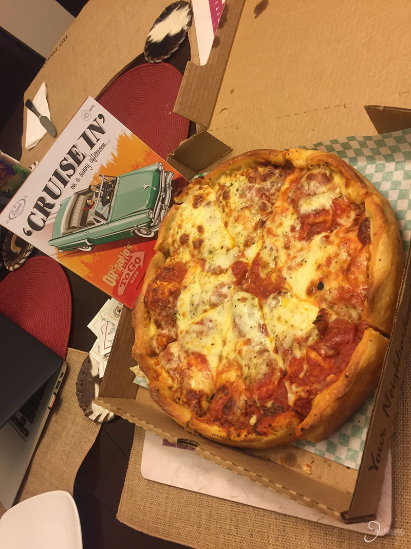
I'm a pizza-holic. I love Chicago-style dep dish. I had to try this. Oregano's Pizza!

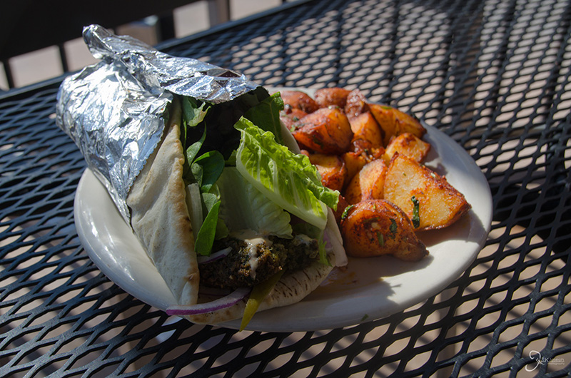
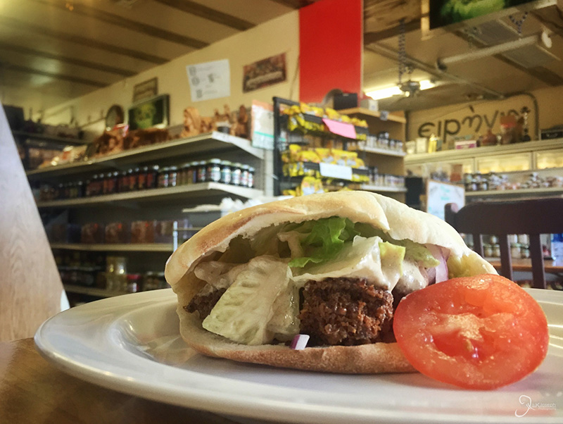
My first time trying Lebanese food, which is very similar to Mediterranean in taste.

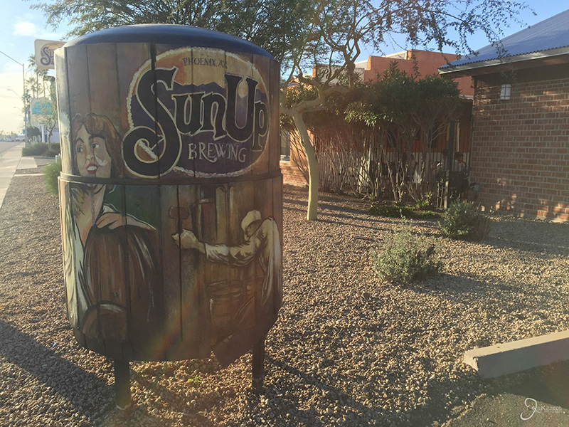
Sun Up Brewery. One of my favorite after-work meet up joints.

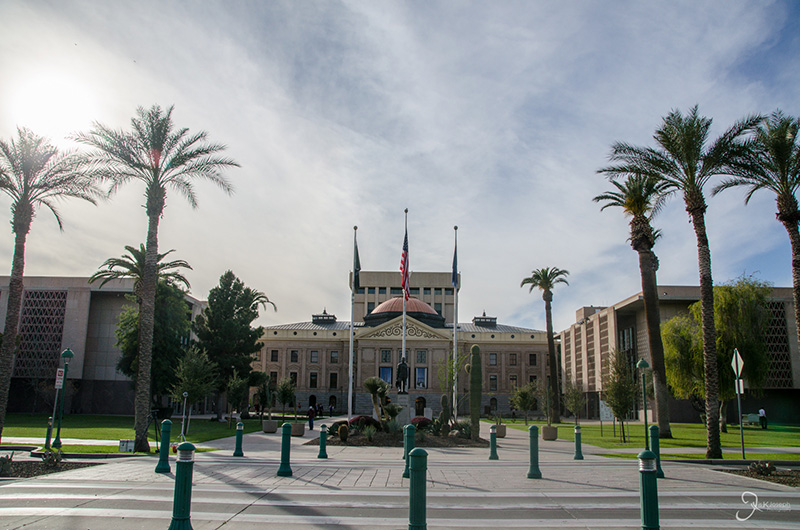
Arizona's State Capitol building

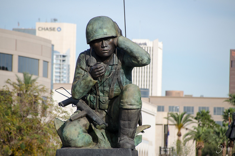
A memorial of the Windtalkkers, a small group of Native Americans from Arizona who translated encrypted messages for the U.S. military during World War II and get much credit for the success of the war.

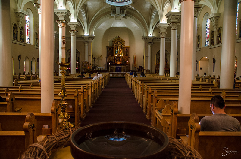
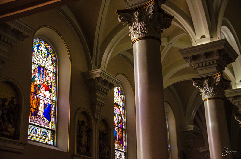
Inside Phoenix's Catholic Cathedral on Ash Wednesday.

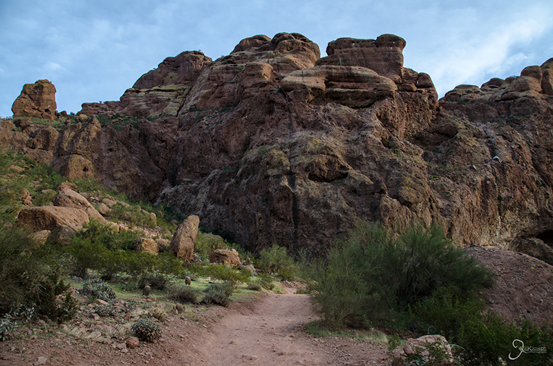
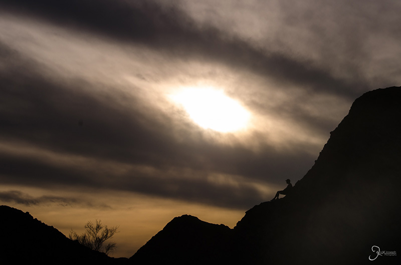
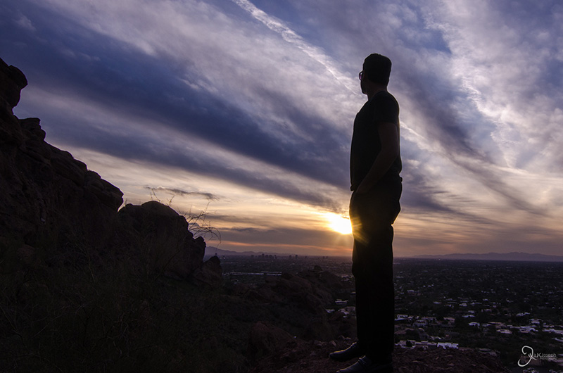
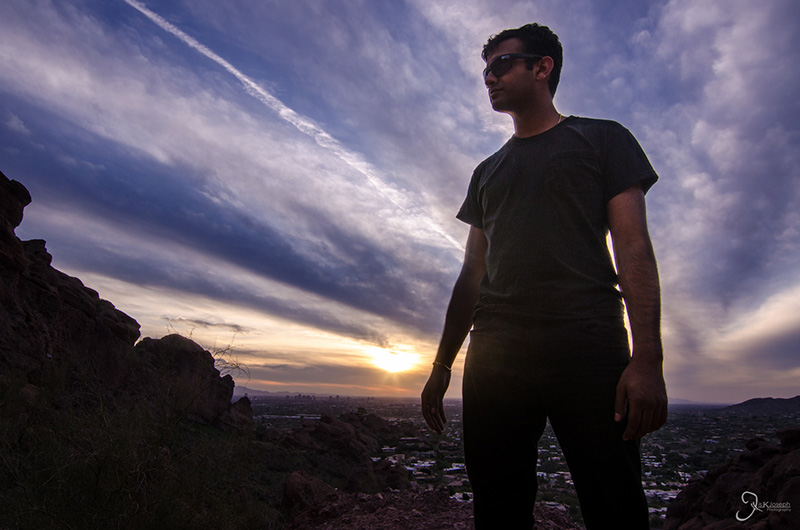
Hiking through Phoenix.

Hiking through Phoenix.

Hiking through Phoenix.

Hiking through Phoenix.

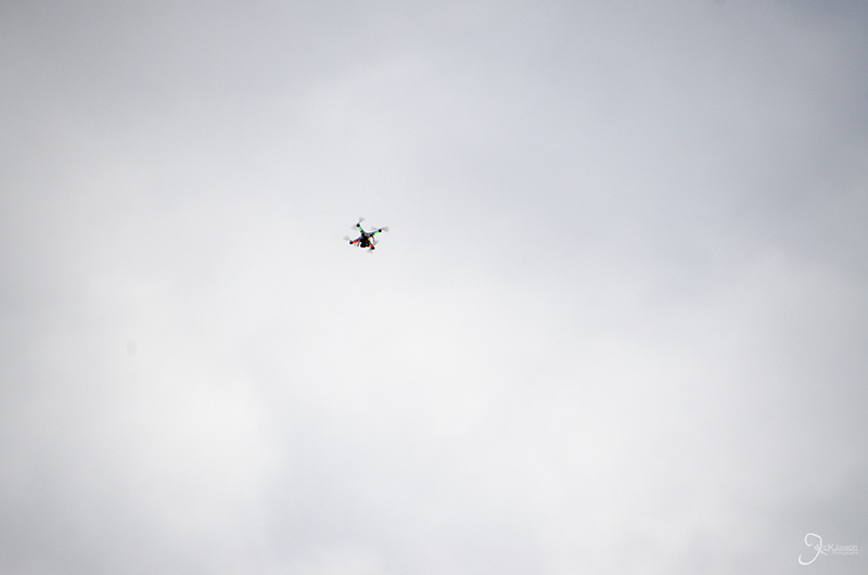
Drones in the sky!

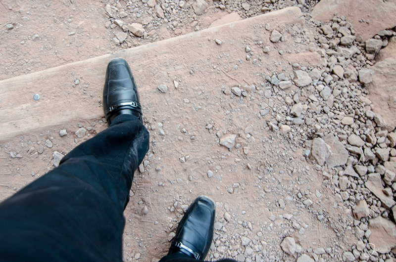
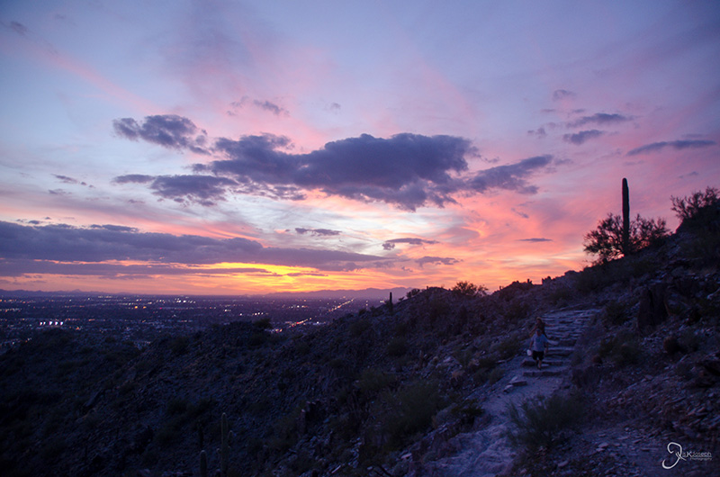
Hiking in my work shoes was probably not the smartest idea.

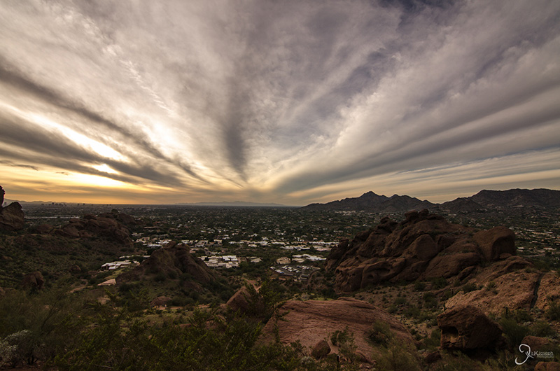
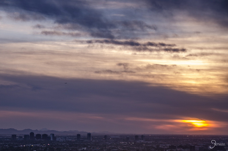
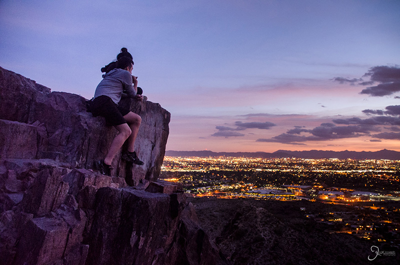
A view of downtown and uptown Phoenix from Camelback mountain.


Drive to Page

Arizona

After one week in Phoneix I decided to explore outside the city. How far outside? To Utah, Colorado, and New Mexico! Although most people visiting Arizona would immediately visit the Grand Canyon National Park, I knew I had that opportunity coming and instead decided to drive all the way to the Four Corners National monument with several stops on the way. One of the major stops would be Page, Arizona, which is not known by the general public but is one of the most photographed areas in the country. The next few galleries will demonstrate why.

The last glimpse of saguruaro cacti.

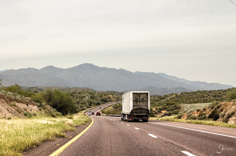
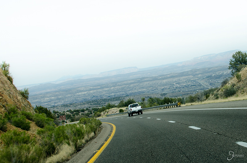
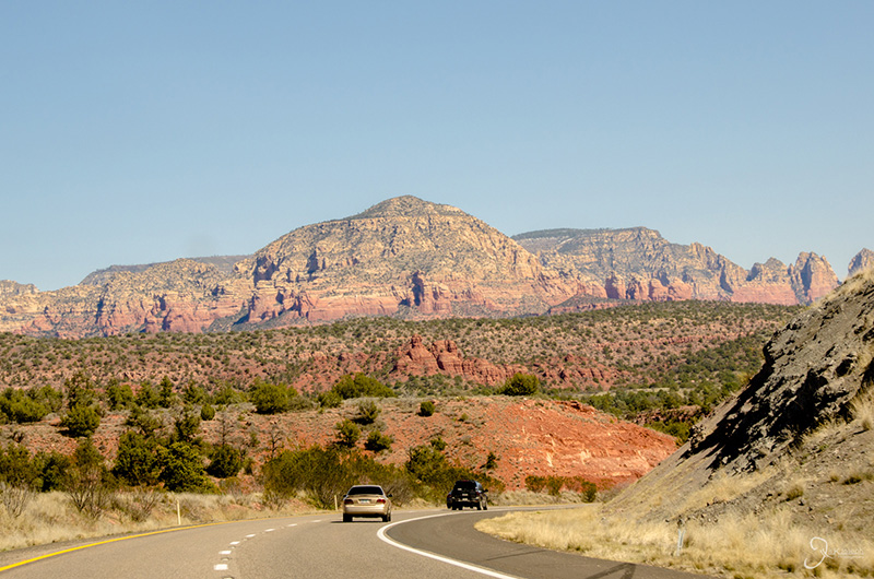
After driving an hour north of Phoenix, the landscape abruptly changes to a less dense desert without a single iconic saguaro cactus in sight.

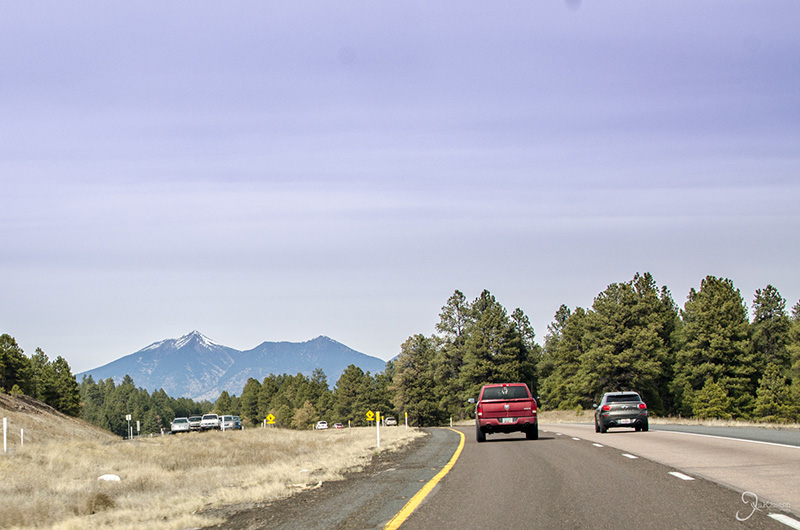
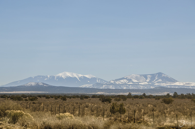
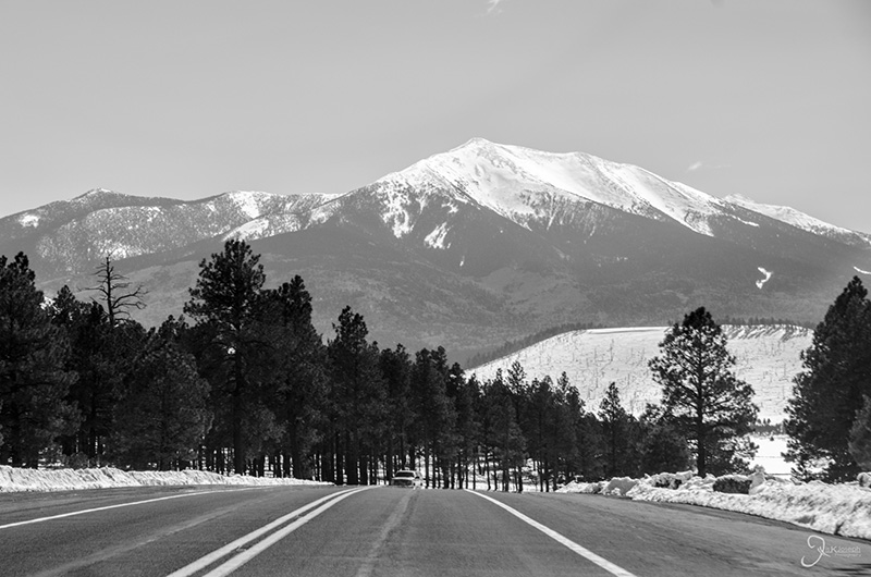
In the background is Arizona's highest point, Humphrey's Peak, in Flagstaff. Just two hours from Phoenix's hot dry desert conditions are the ski resort getaways of Flagstaff.

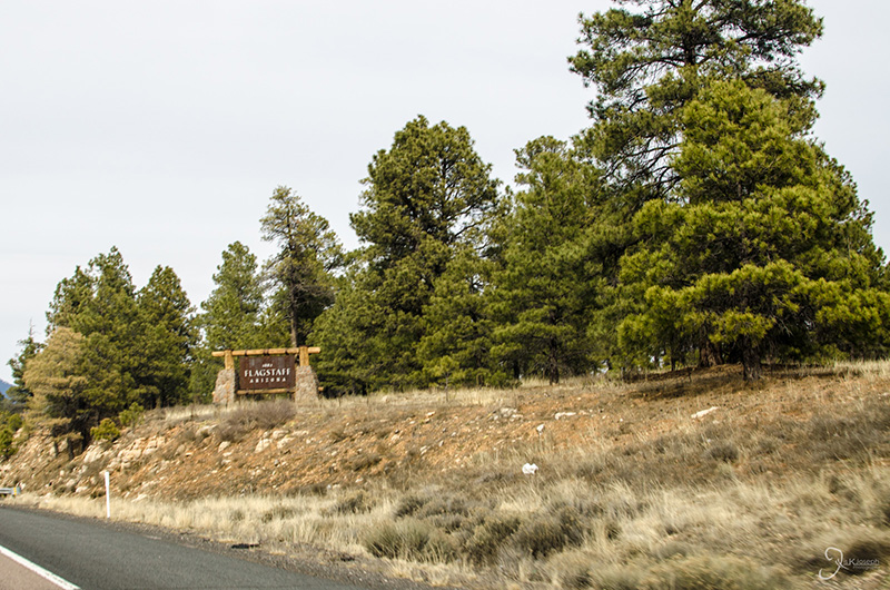
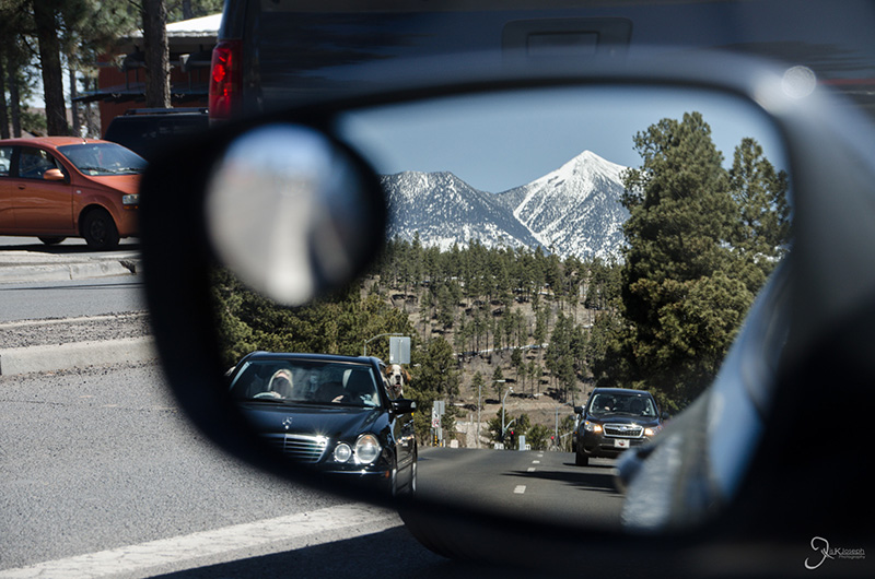
Entering Flagstaff, a tourist due to its central location to many of Arizona's natural attractions.

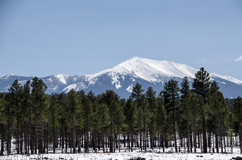
Humphrey's Peak, Arizona's highest point.

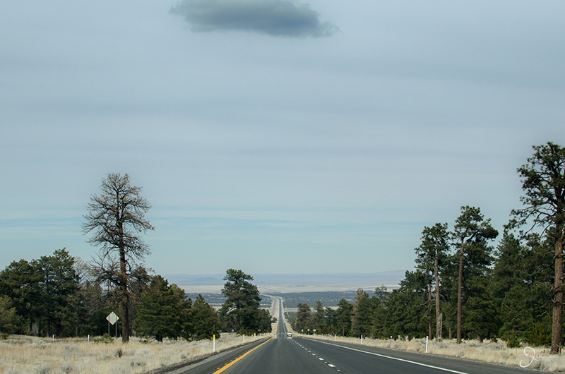
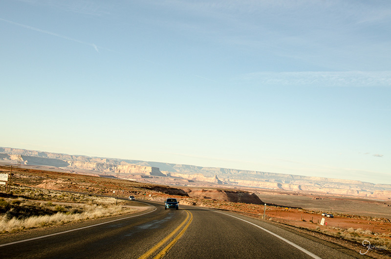
The downward drive from Flagstaff towards page.

The landscape changes again just thirty minutes outside of Flagstaff from pine forests to grassy hills.

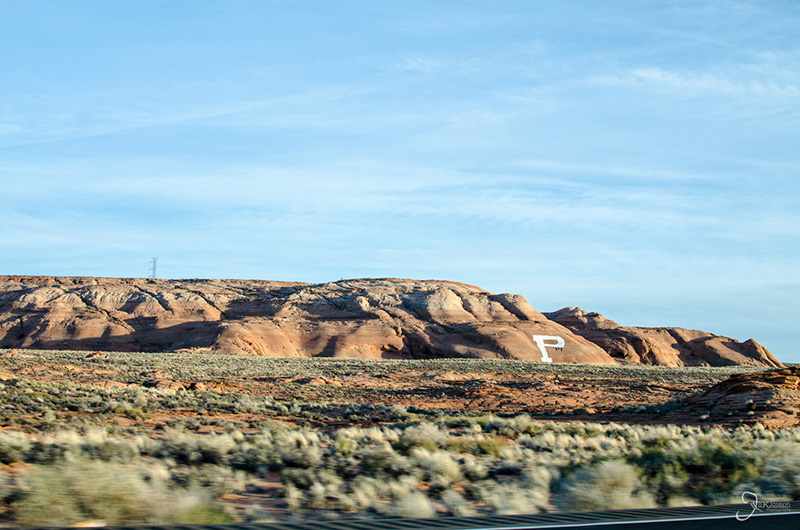
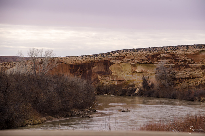
Layers begin to erupt from the grassy plains as I approach the Colorado River.

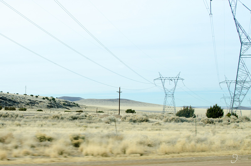
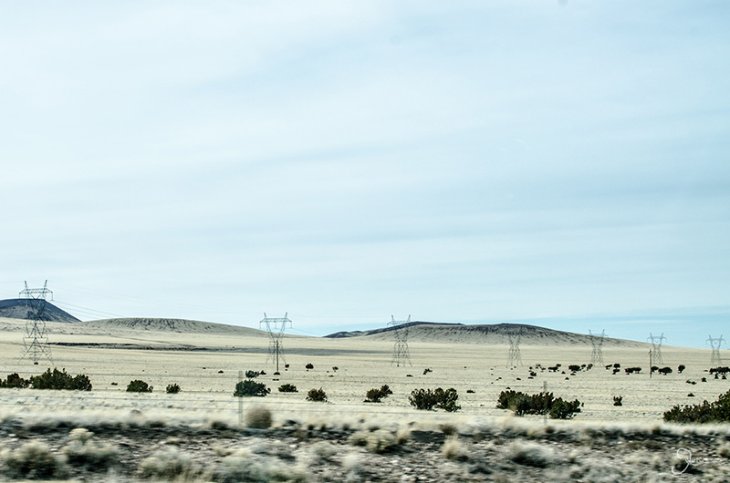
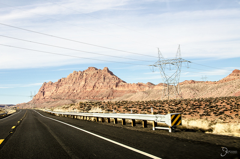
Despite seeing very little of civilization, the roadways were constantly bordered and intersecting with miles of powerlines.

My drive to Page was one of many reminders of why not to always rely on technology. The route that the GPS selected to get to Page was closed due to construction. A quick route determined by my GPS suddenly turned into a 40 minute U-turn to find a detour without proper cellphone or GPS signal. My leisurely drive to Page became a race to see the sunset.

Made it to Page!


Horseshoe Bend

Page, Arizona

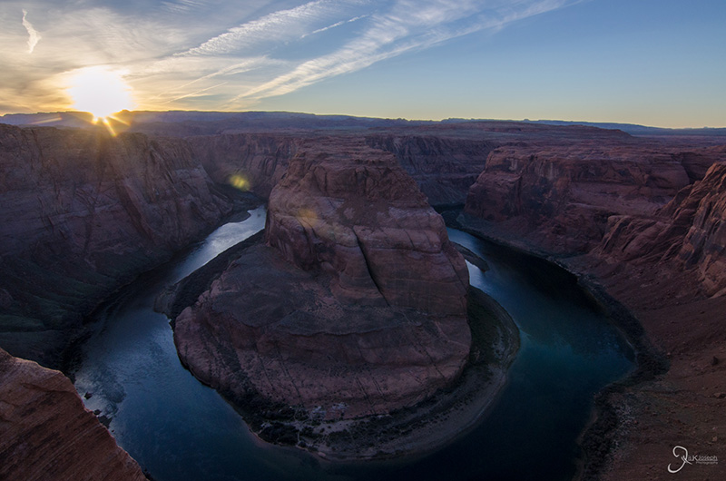
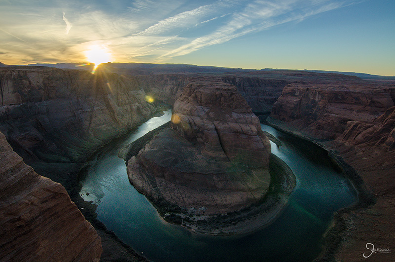
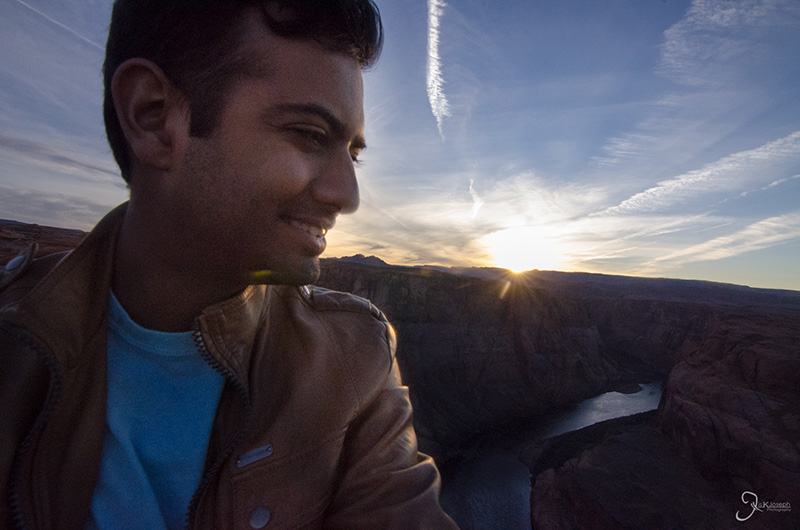
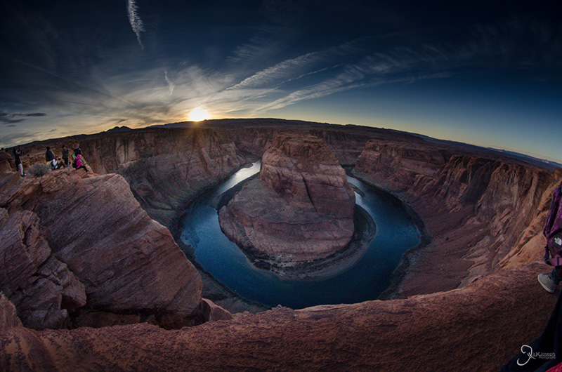
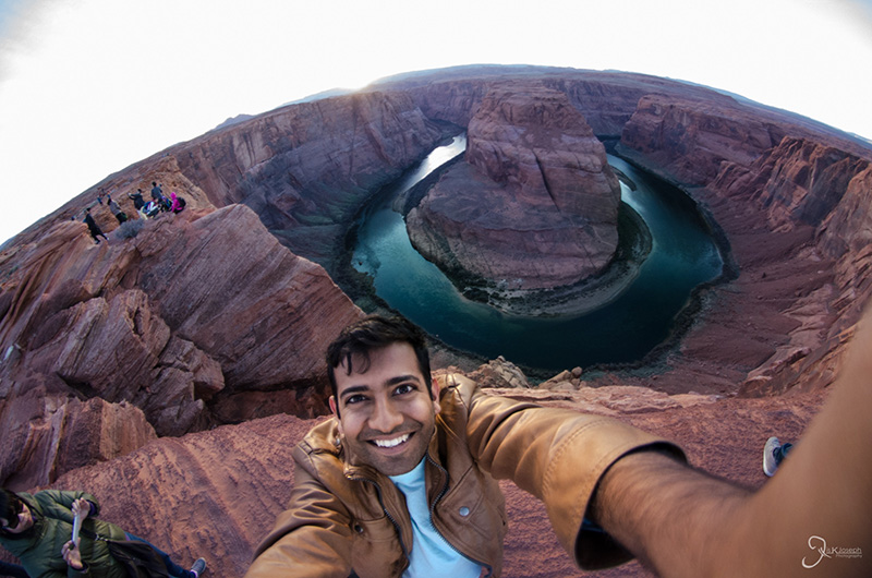
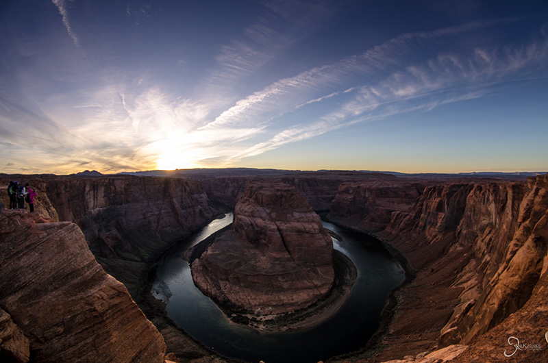
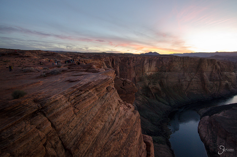
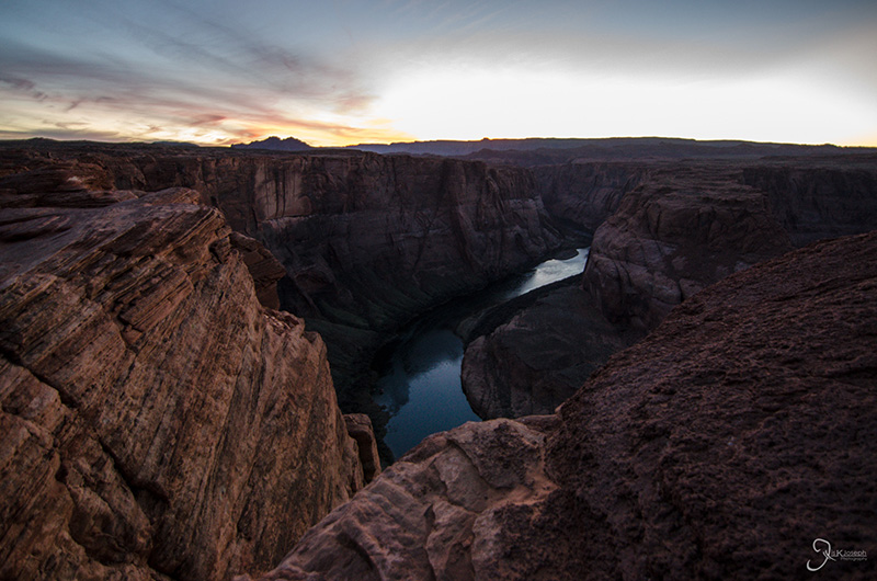
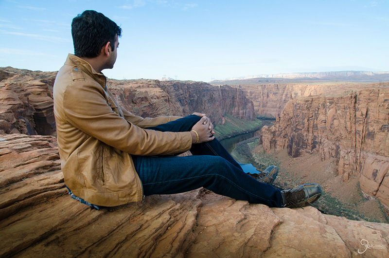
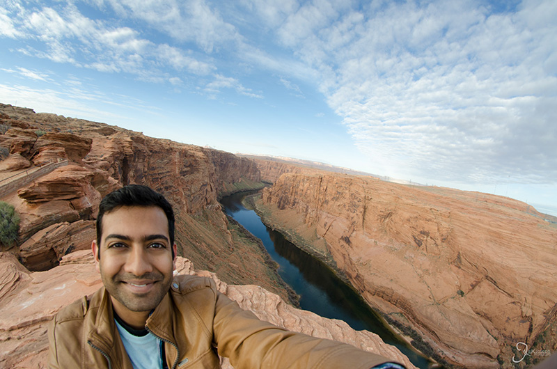
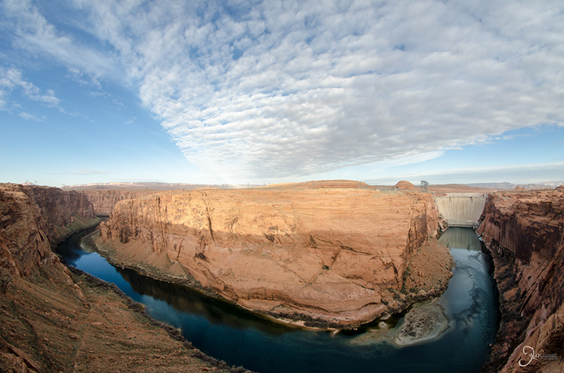
My arrival into Page was at the best opportune time.. sunset! Horseshoe bend is one of the most photographed spots along the Colorado River. Capturing this beautiful canyon as well as the Sun set proved to be a challenge because of the wide range of lighting conditions caused by the bright setting sun and the shadowey canyon below. My camera was extremely confused on how to interpret this scene while on automatic, so I took over a hudred photo in manual mode, most of which turned out ugly. The few that did come out alright were only possible due to heavy post-processing with Lightroom.

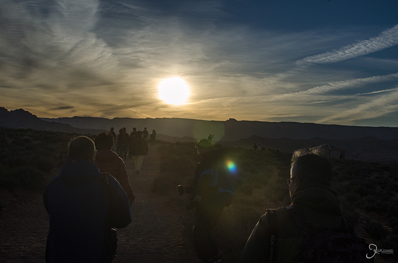
My arrival to horseshoe bend felt like an epic exodus from the Lord of the Rings, lead by the throngs of Japanese tourists.

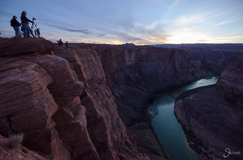
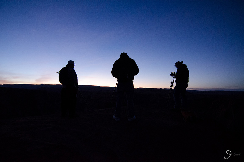
Several photographers line up along the naked rim of the canyon.

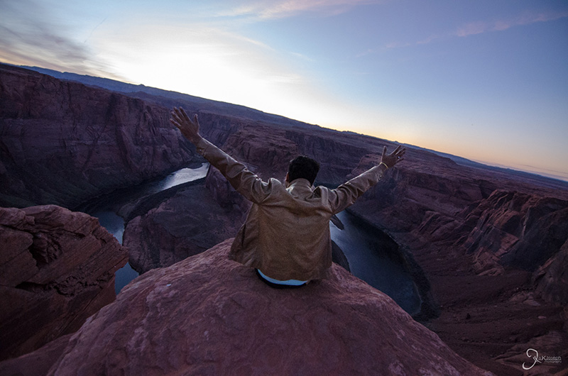
No hands... or rails.

A few photo enthusiasts stayed behind to capture some night time photos over horse shoe bend.

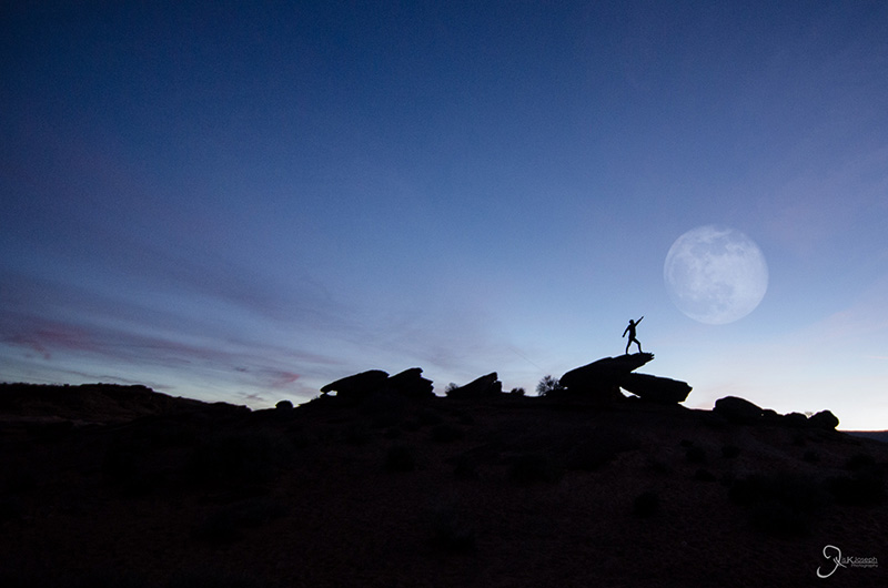
Don't reach for the sky! Jump for the Moon!

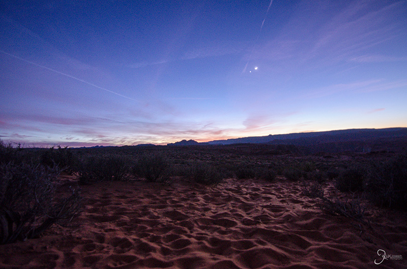
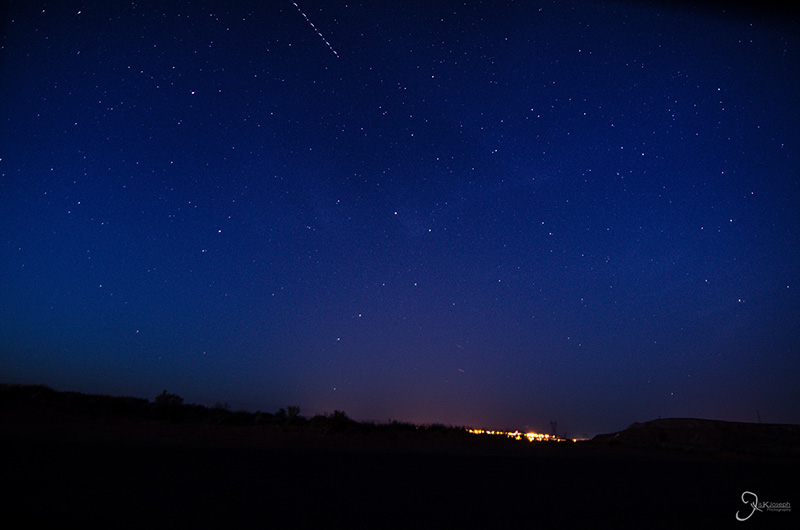
The developing night sky with the town of Page two miles into the background.

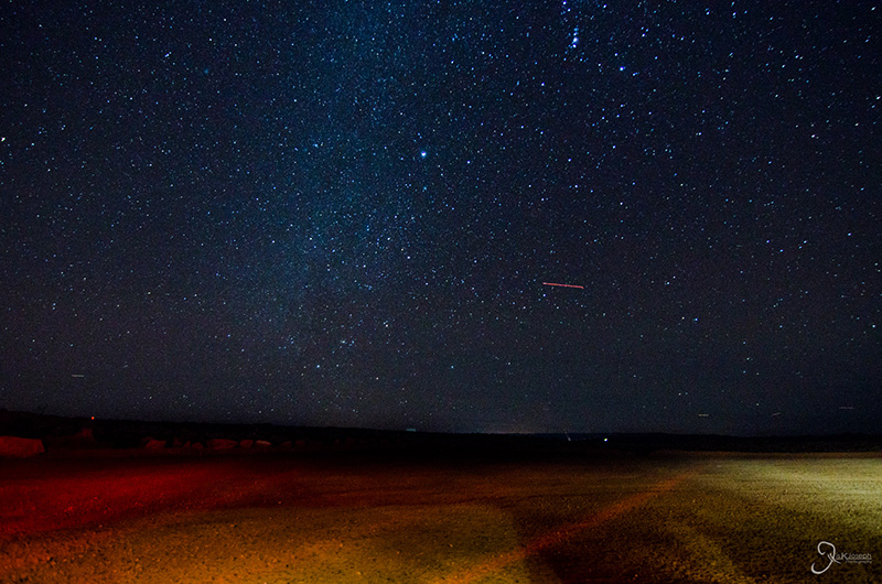
By 9 PM, and limited light pollution, I was able to see a nice chuck of our galaxy.

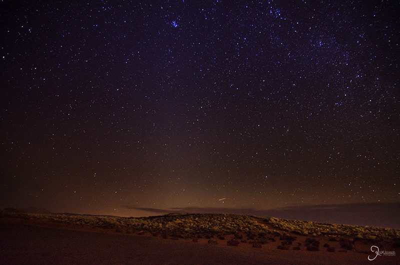
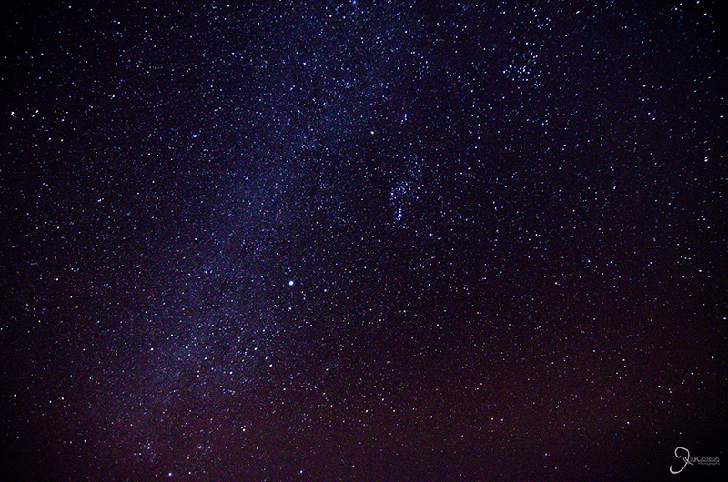
Once again, I was awed by the night sky


Glenn Canyon

Page, Arizona

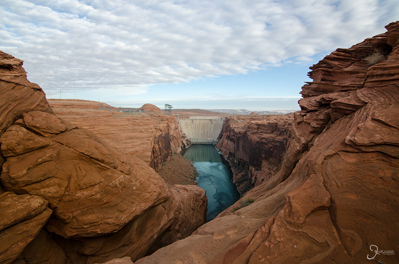
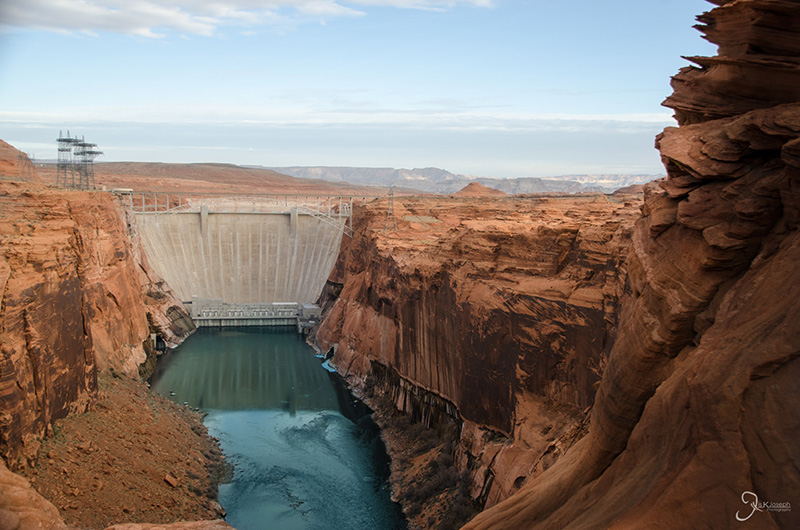
Much of Arizona's energy needs are powered by hydroelectric dams. Glenn Canyon Dam is one of the first dams along the Colorado River. I had so time to kill before my photography tour at Lower Antelope Canyon, so I ventured into the Glenn Canyon Park.

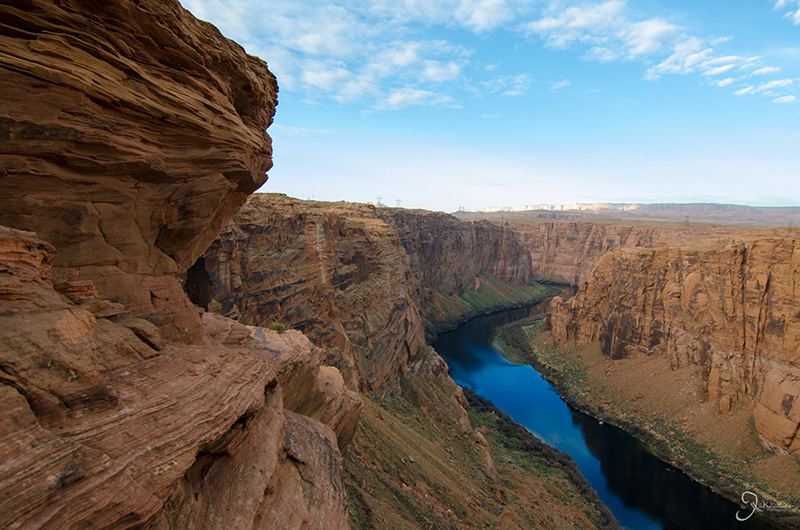
The winding Colorado River as it continues on to the Grand Canyon.


Antelope Canyon

Page, Arizona

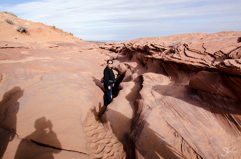
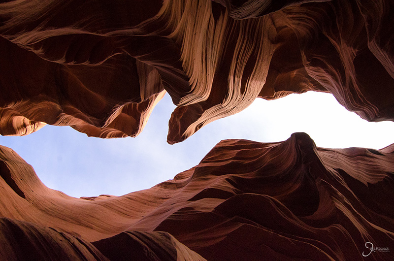
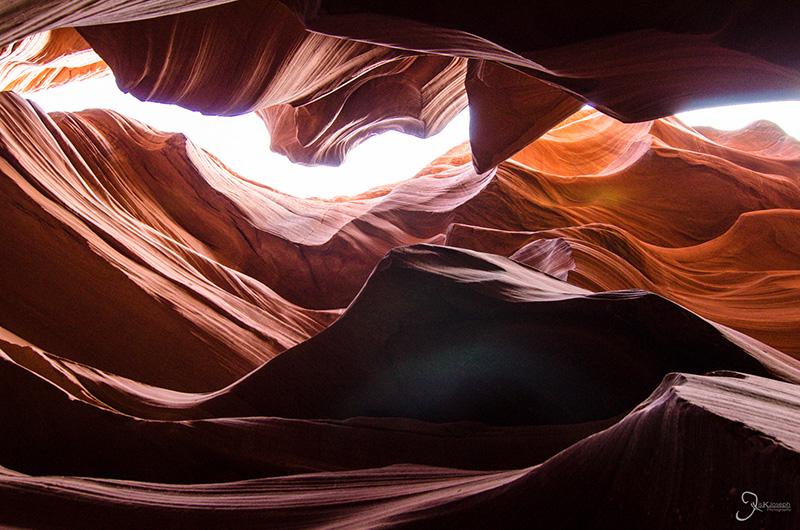
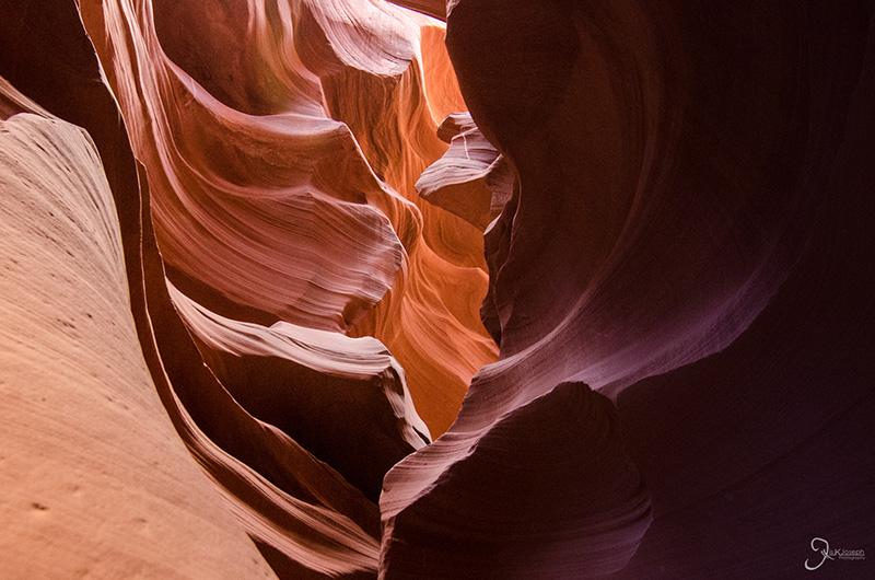
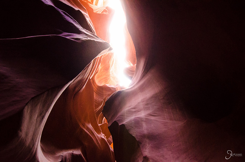
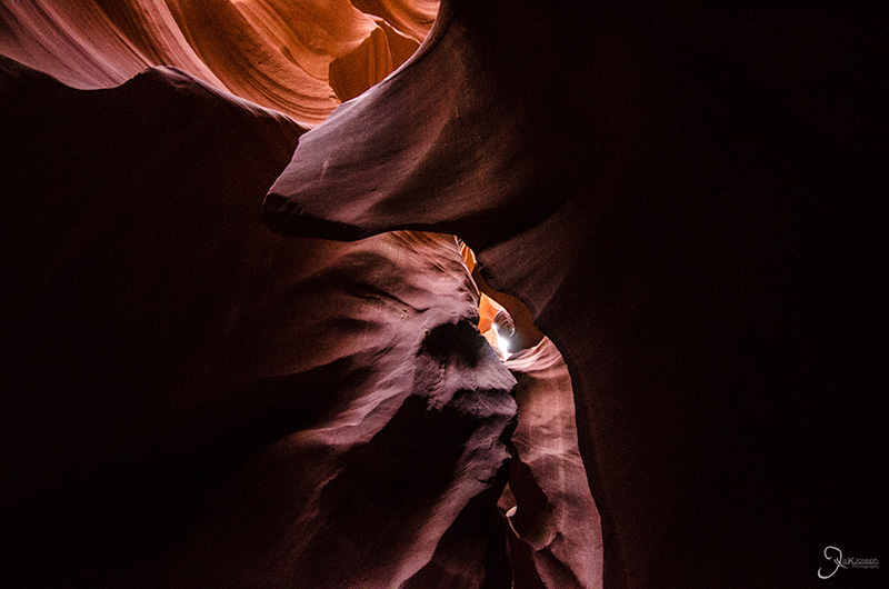
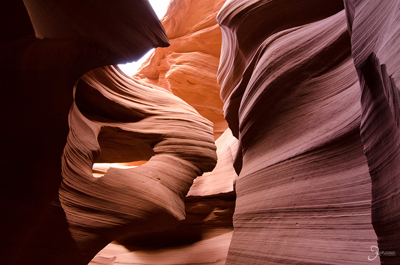
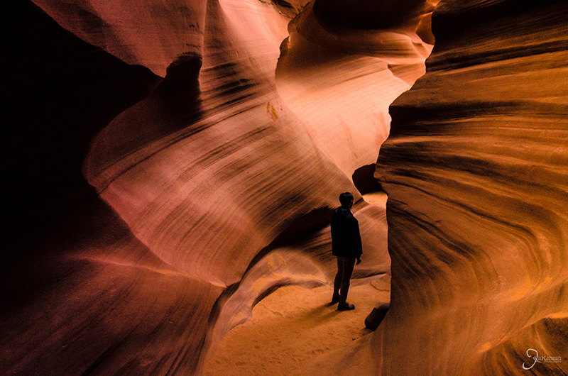
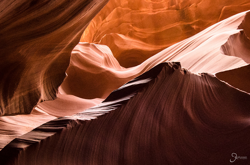
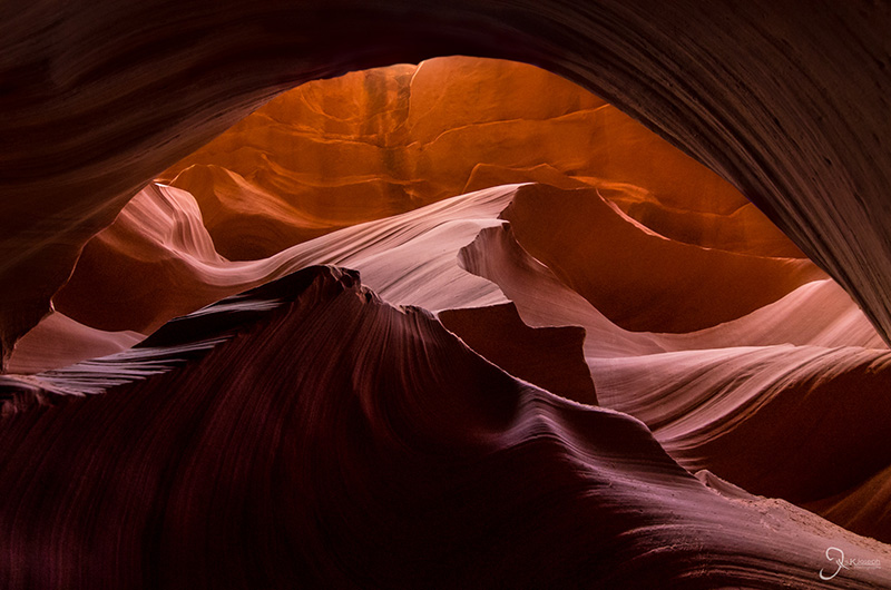
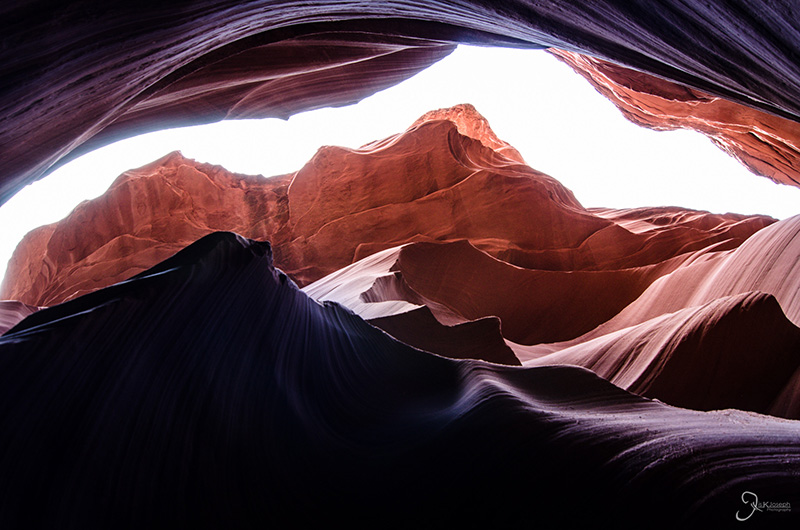
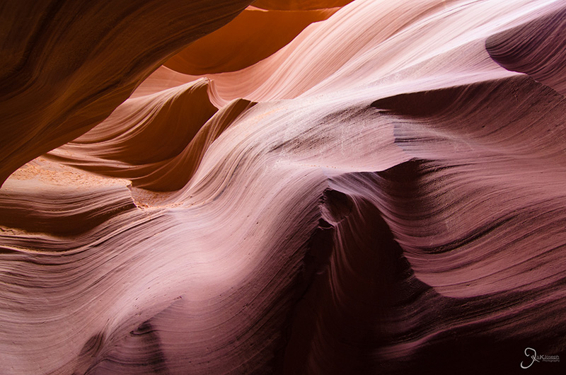
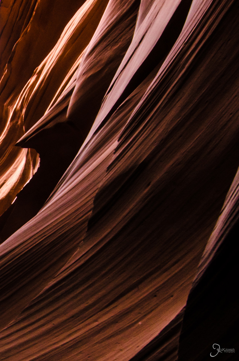
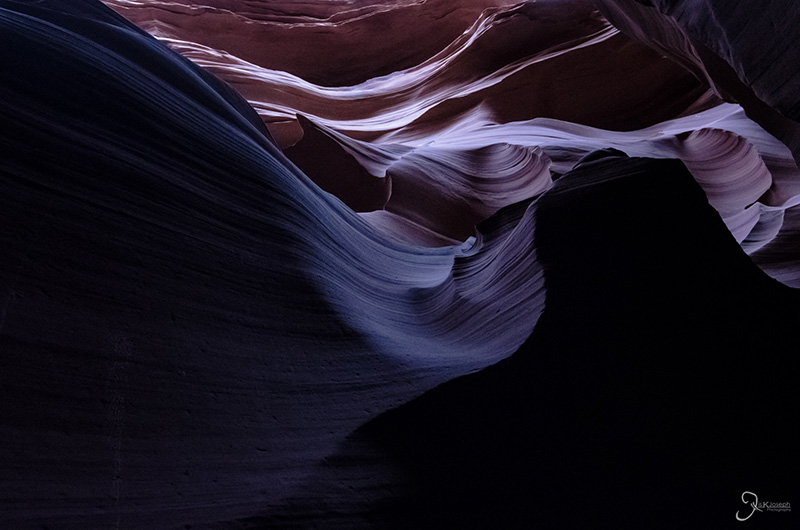
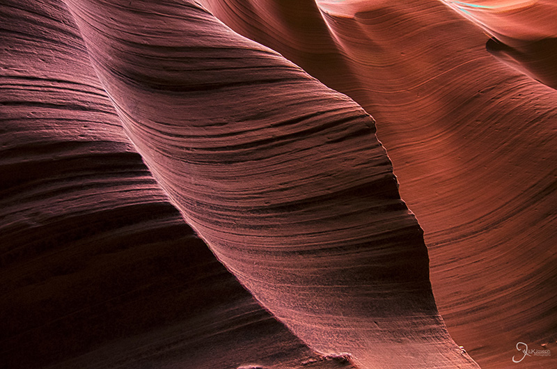
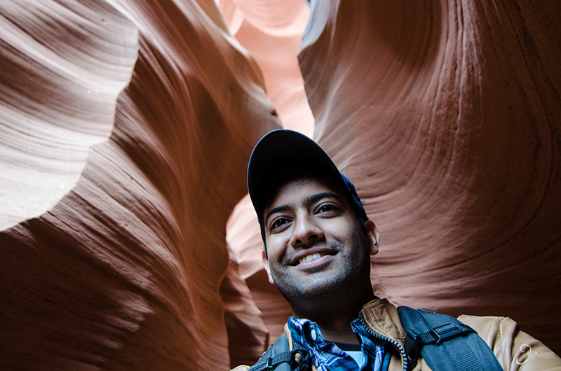
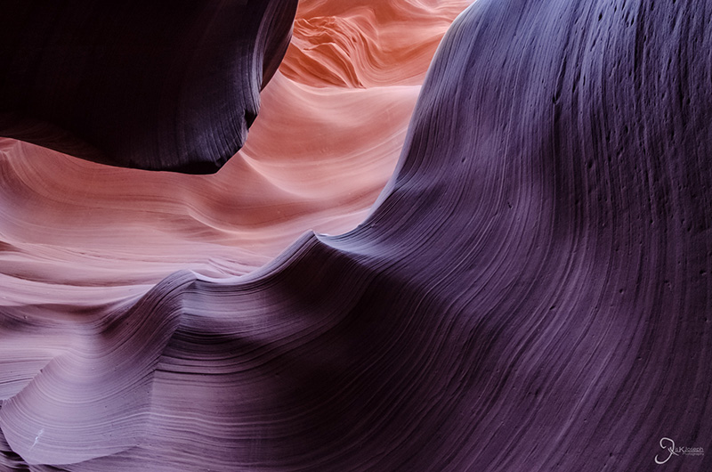
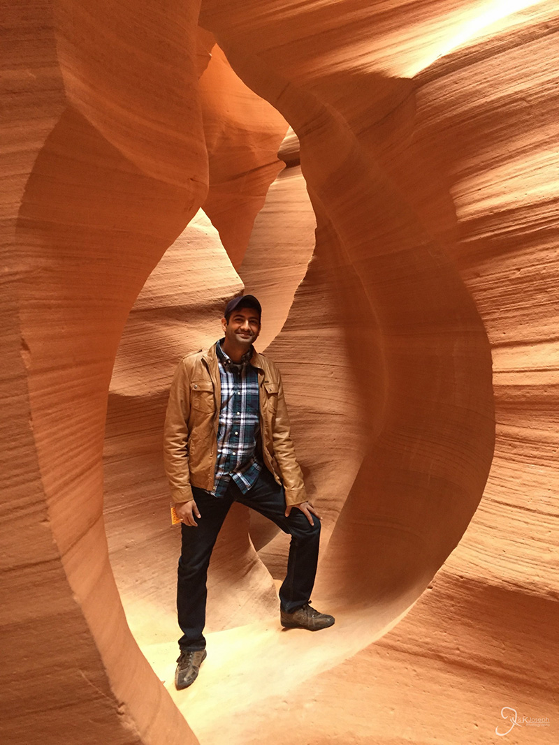
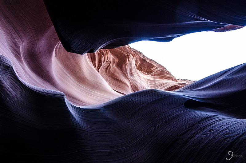
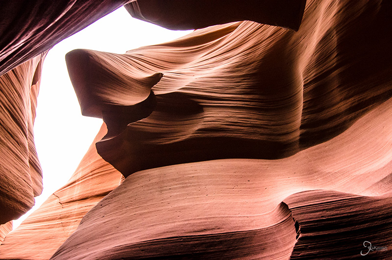
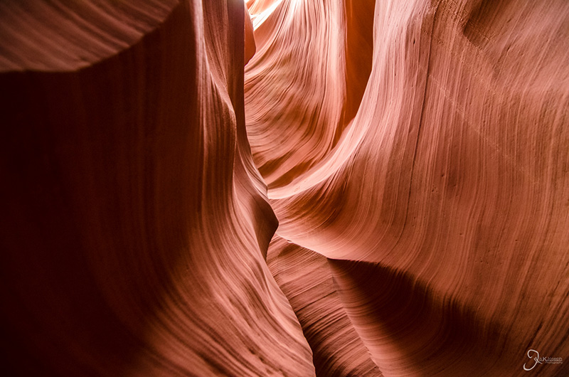
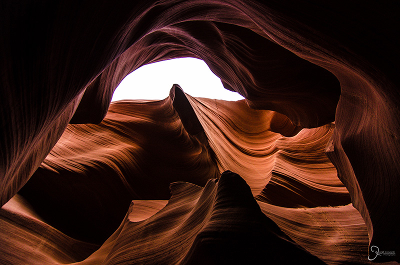
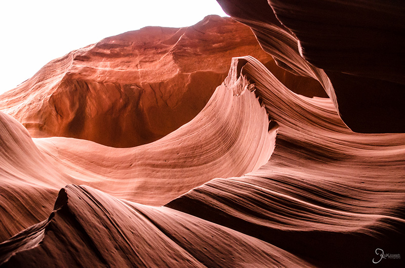
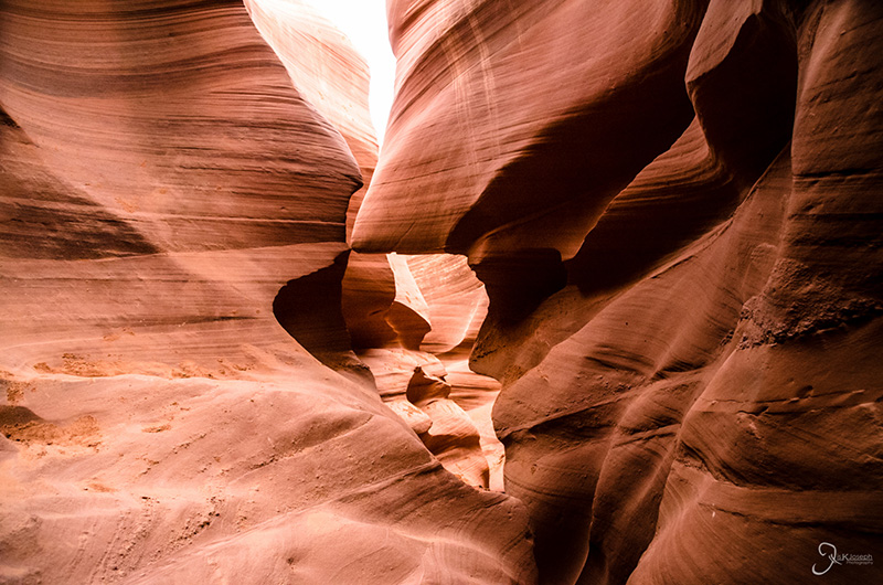
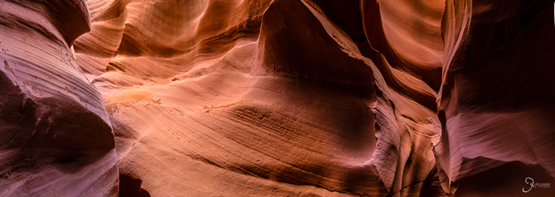
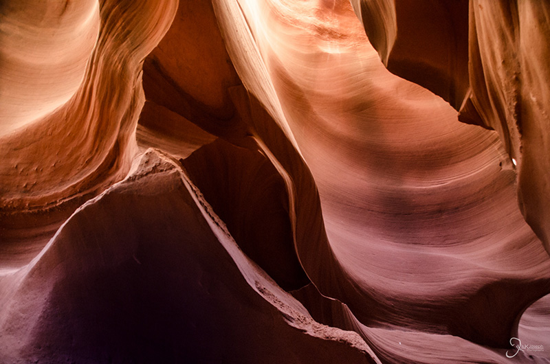
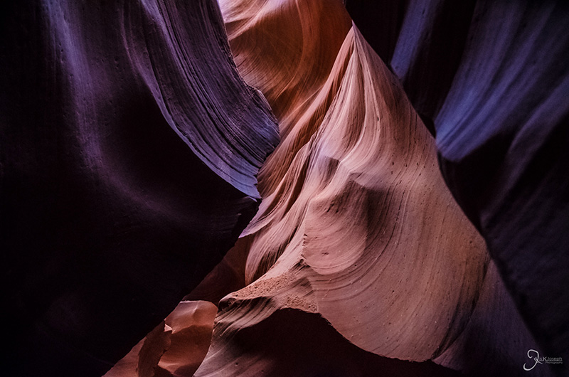
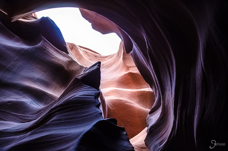
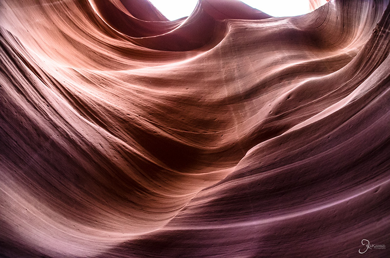
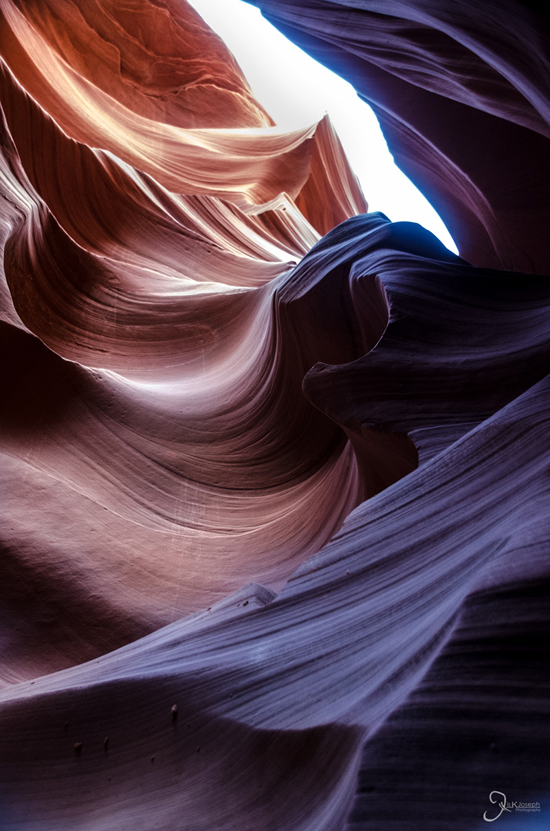
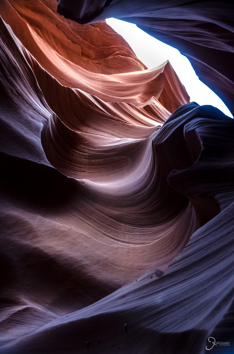
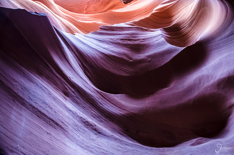
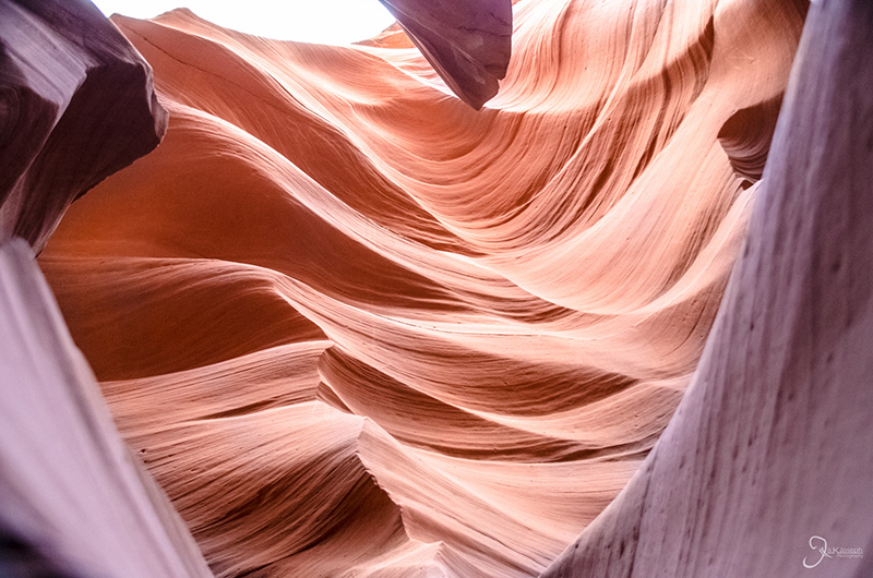
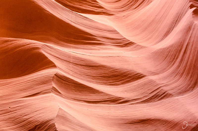
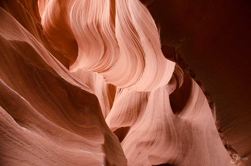
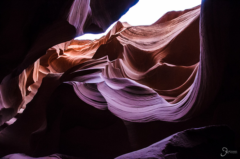
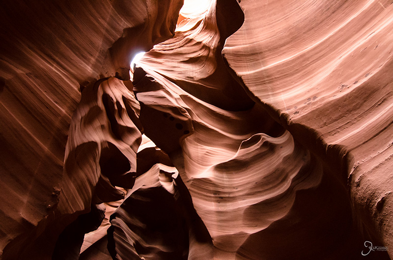
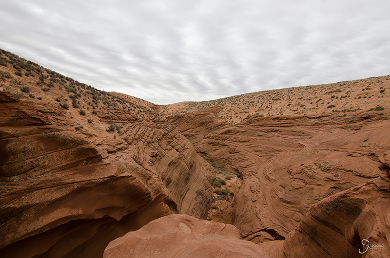
First discovered in the 1970's, Antelope Canyon is a slot canyon that doesn't look like anything more than a crack in the ground. But walk down into the narrow crevice of an entryway and it is a completely different world covered in waves of smooth and swooshing stone walls carved by runoff. Despite being an overcast on my visit, the beams of light dropped from above into shadowy crevices proved to be challenging lighting conditions. I took over 600 photos in Antelope Canyon, and even though as I was shooting I thought most of the photos I took would end up in the trash, I kept more than 200 photos due to the positive effect of heavy post-processing. Although the canyon is open to the public, it is in Navajo territory and all visitors must be accompanied by a Navajo tour guide. Several Tours are available but I opted for the intimate photography tour. A traditional tour had more than 15 tourists per group. My group consisted of 3 other photographers. We ventured along a route that was not intruded by other tours. Paying a little extra to do the photography tour, even if you are not a photographer, makes the visit much more enjoyable.

The narrow entrance into the canyon

Woman in the wind.

This ended up being one of my favorite photos on my roadtrip.

Bruce, the shark!

The pirate.

The surface view of the exit of the slot canyon.

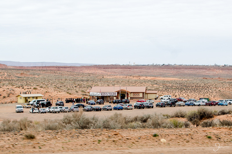
For anyone interested, I fully approve Ken's Tours and plan to use them again on my next visit.


Drive to Utah

Arizona

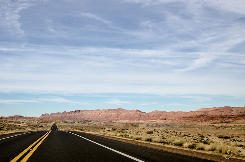
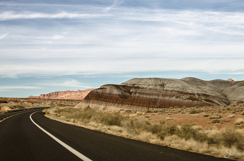
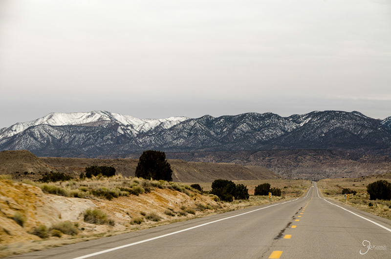
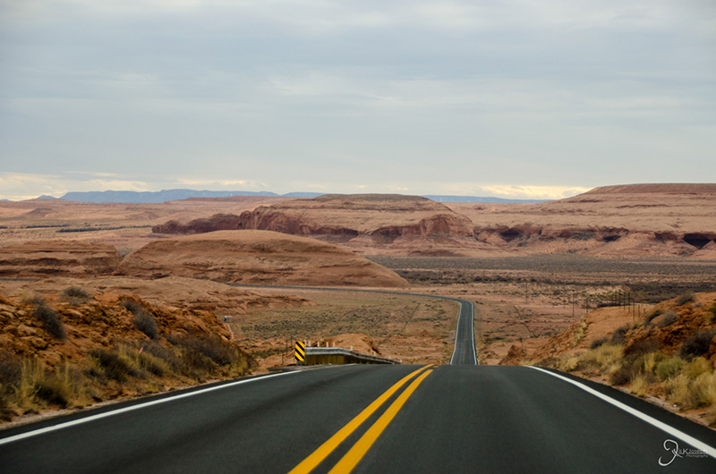
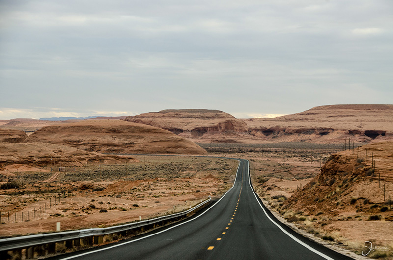
From Page, Arizona, to the iconic Monument Valley was a two hour drive through northern Arizona's painted desert.

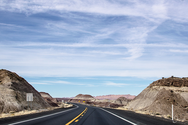
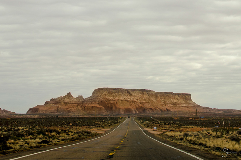
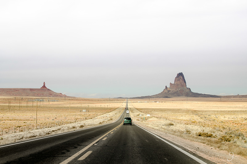
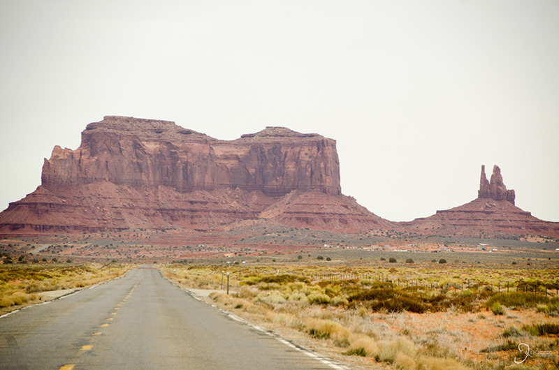
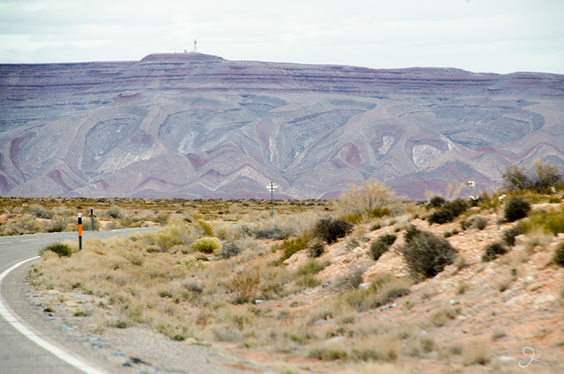
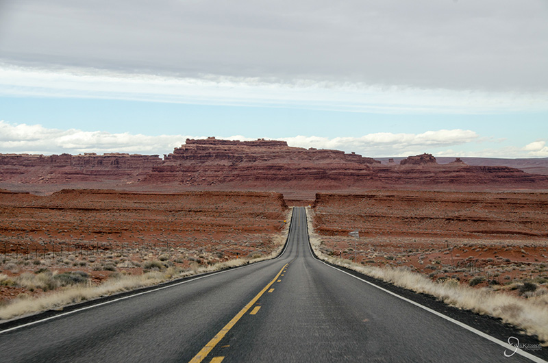
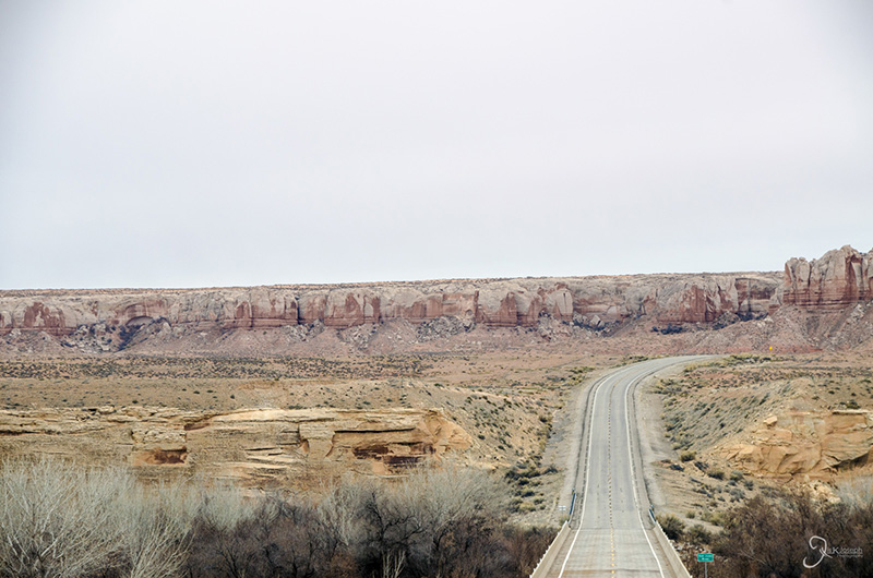
Long straight aways leading to what seems to be a dead end was a common sight on in and around the painted desert.

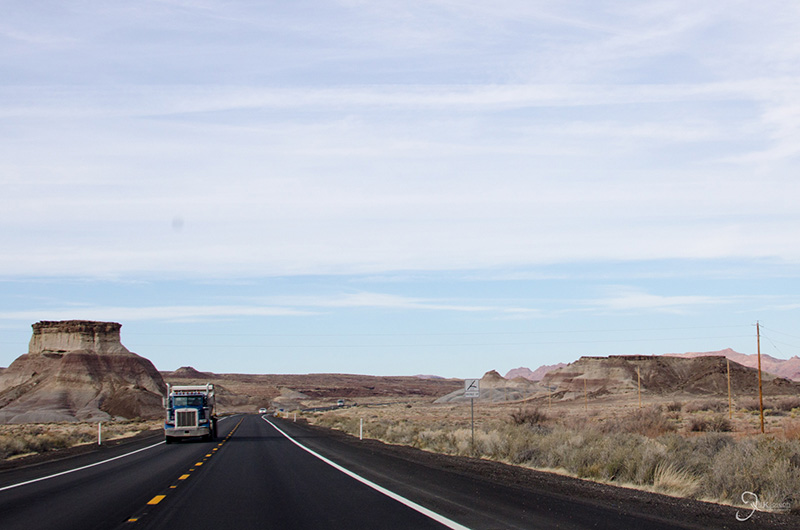
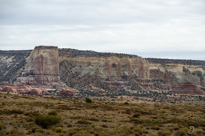
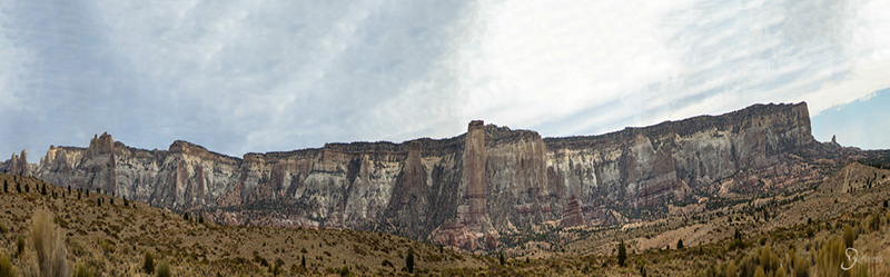
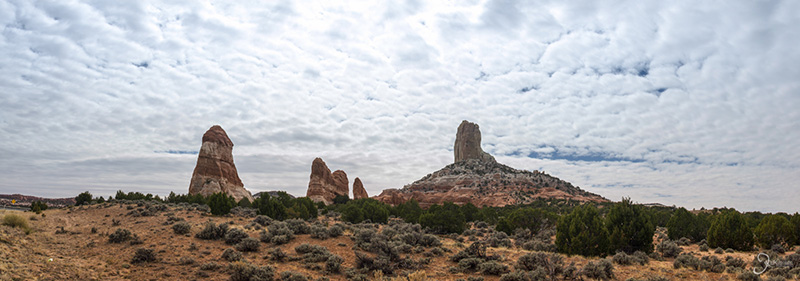
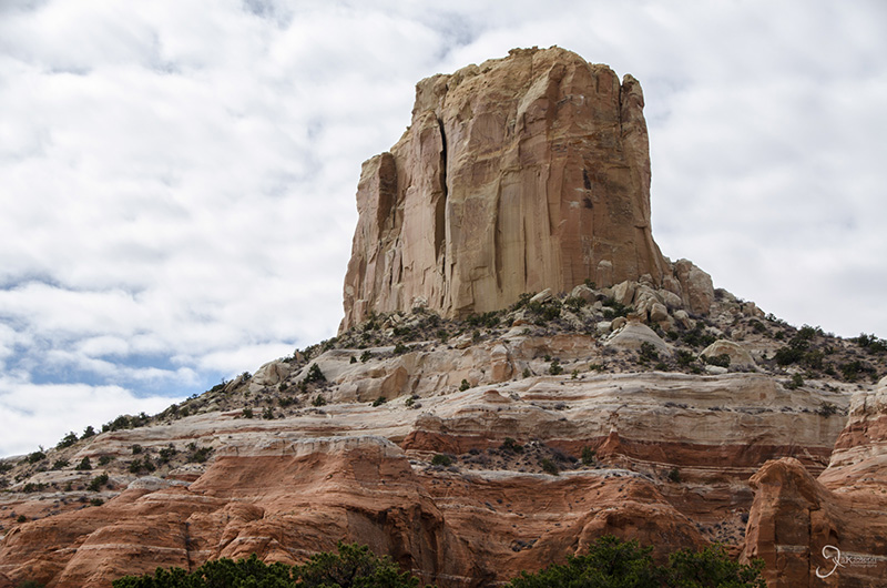
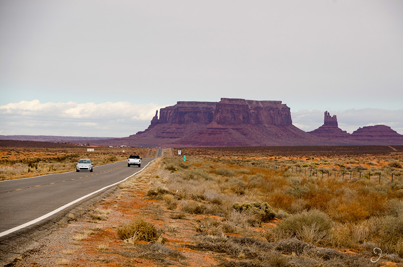
I was constantly awed by the size of some of the buttes I saw along the way.


Monument Valley and the Valley of the Gods

Utah

Monument Valley, located on the border of Arizona and Utah, is one of the most iconic scenes. It is often what comes to mind when one thinks of the American west and has been depicted in a long list of movies including Forest Gump, 2001: A Space Odessy, Mission Impossible II, Stagecoach, and Cars. The Valley is characterized by a cluster of vast sandstone buttes, some reaching thousands of feet above the valley floor. The just like Antelope Canyon, Monument Valley is on the Navajo Reservation, therefore the park is managed by the Natives and can only be explored with a Native guide along side. A few miles along the scenic U.S. 163 lead me into the Valley of the Gods, a vast area with several buttes that are only slightly smaller than those found in Monument Valley. This corner of Utah gave me a preview of some of the diverse rock formations I would see on my return trip through Utah.

The southern entrance

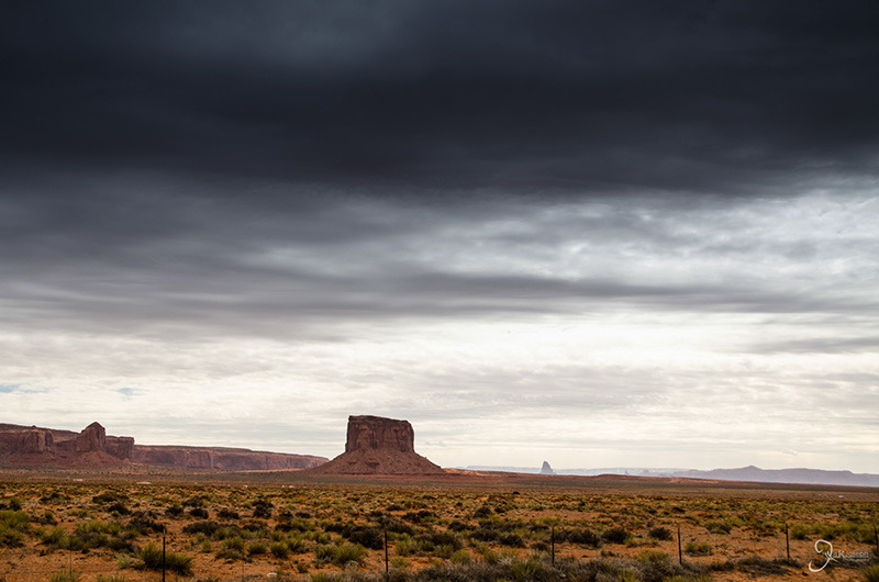
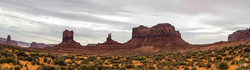
A panoramic view looking north into the valley

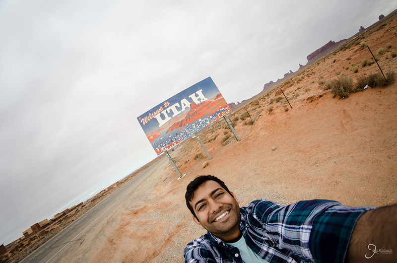
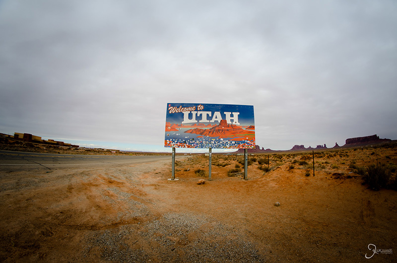
Entering Utah for the first time.

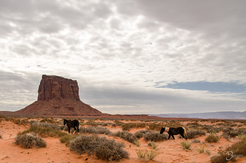
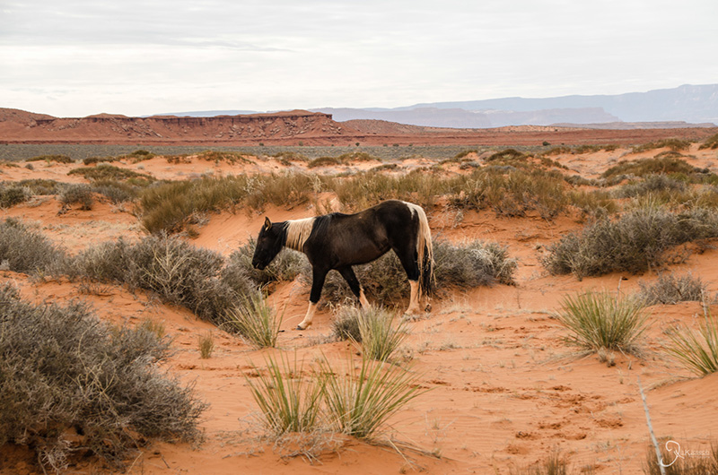
Wild horse grazing in the valley.

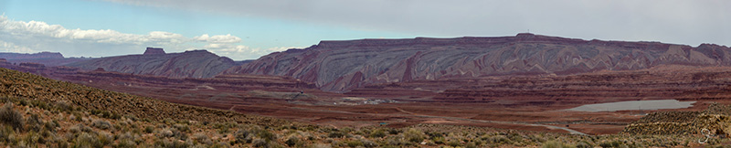
Unlike other exposed layers, the layers of rock I saw in Utah were swirly and jagged.

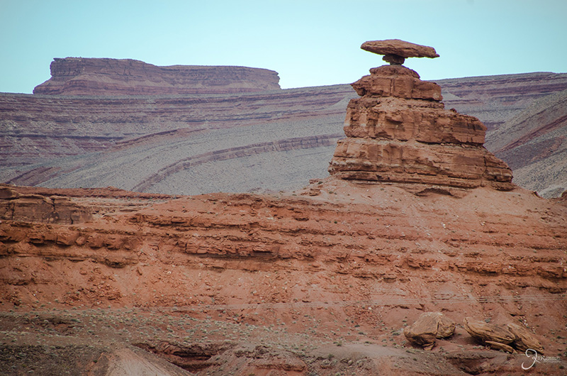
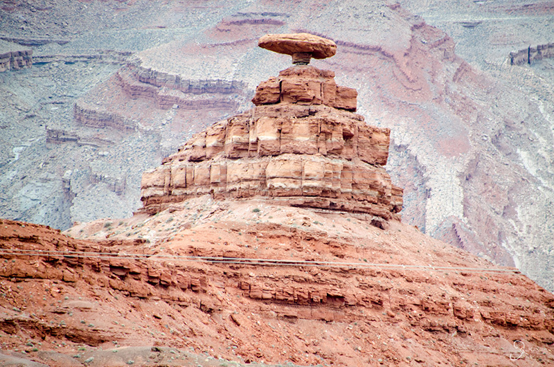
As I continued on the scenic U.S. 163 I came upon the small town of Mexican Hat, Utah, named after a rock formtation I thought I would only see on shows like the Looney Toons.

Rainbows can be tangible.

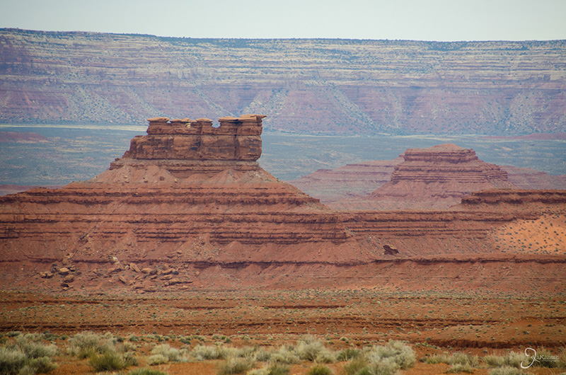
A section of the Valley of The Gods.

The San Juan River, which is partially to blame for some of the formation of this valley.

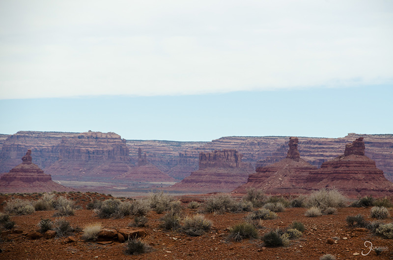
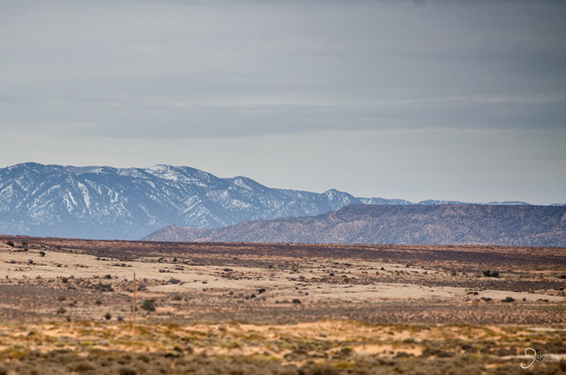
Yellow grass, red rock, and blue mountains.


Four Corners National Monument

Arizona

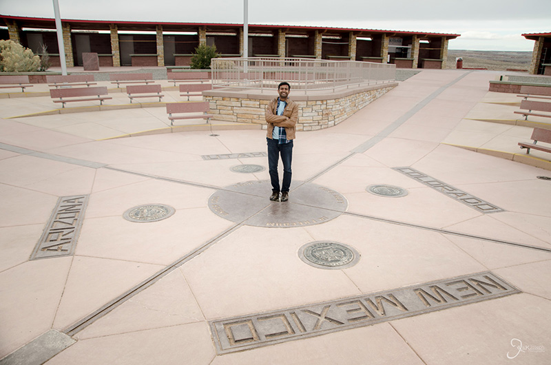
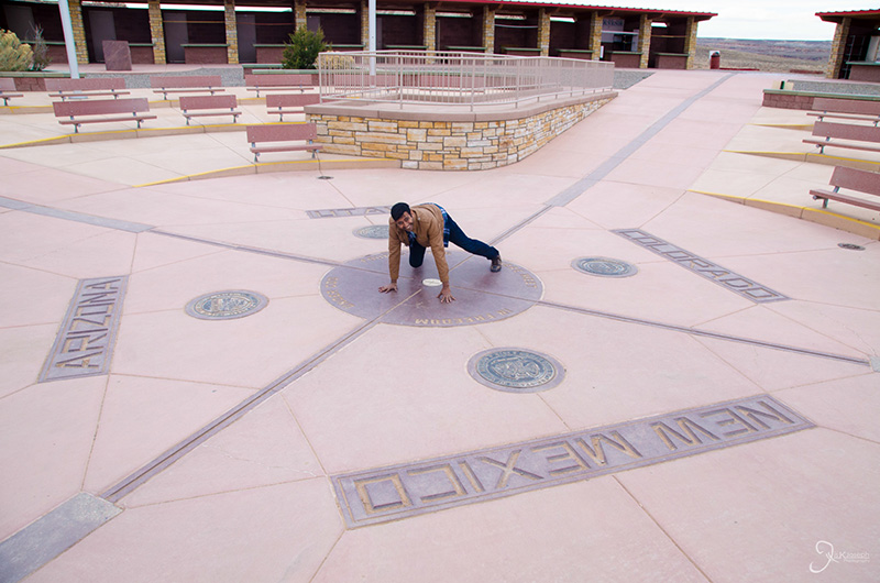
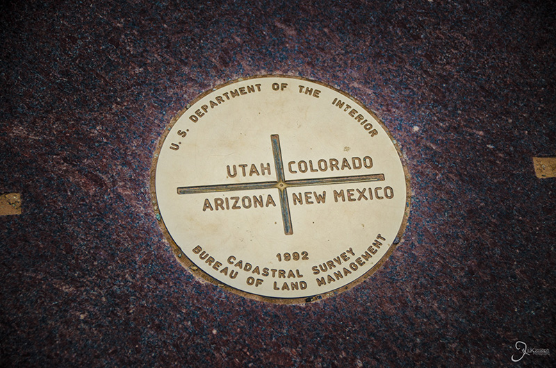
Being able to stand on the only place in America where four U.S. States meet at one point might sound great, but this one-and-done stop was quite a disappointment. After devoting an hour and a half of time to drive to and from it, and with nothing around it for within a 20 mile radius except a metal plat on a concrete surface to identify it's location, this checkbox on the itinerary was nothing more than a 5-second photo opportunity. Unless the Four Corners Monument is on the way between two destinations, I would not go out of your way to see it.

Pastora Peak, just south of the Four Corners National Monument on the Arizona side.

Ta Da!

This is it.


The Painted Desert

Arizona

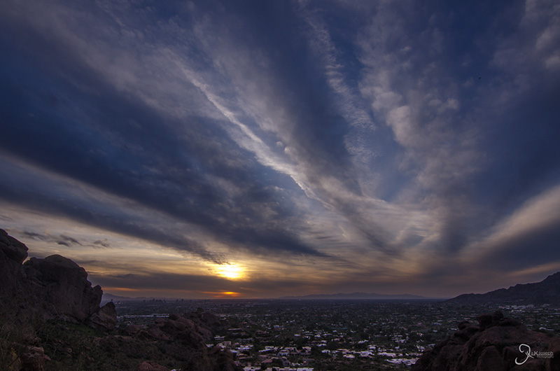
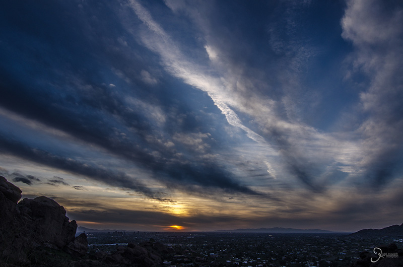
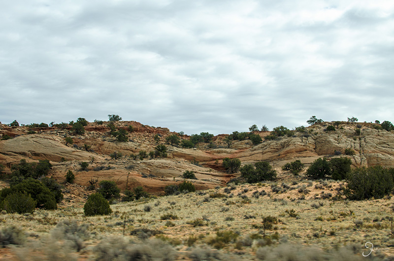
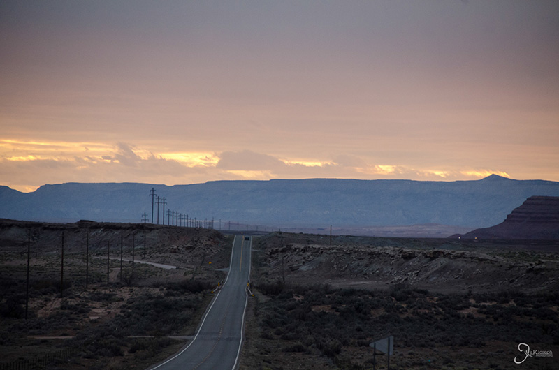
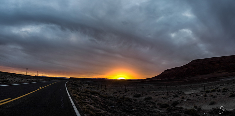
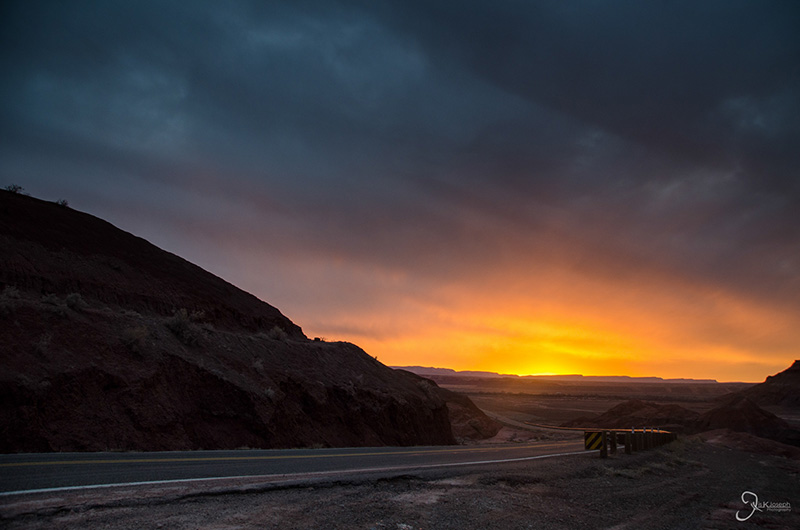
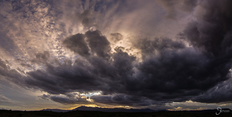
The painted desert is the name of the desert region in northeastern Arizona. Much of what I saw driving from Flagstaff, to Page, to the Four Corners region was part of the Painted desert. It's named as such due to the intense erosion the area has experienced, exposing colorful bands of rock, fossils, and petrified wood. I had hoped to see more of the desert as I made my return trip to Phoenix from the Four Corners National Monument, but time was not on my side. Fortunately I was able to watch one the most outstanding sunsets I have seen in Arizona.

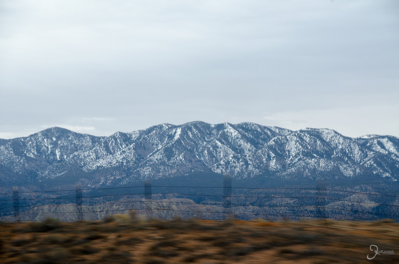
The Pastora Mountains.


Saguaro Lake

Tonto National Forest, Arizona

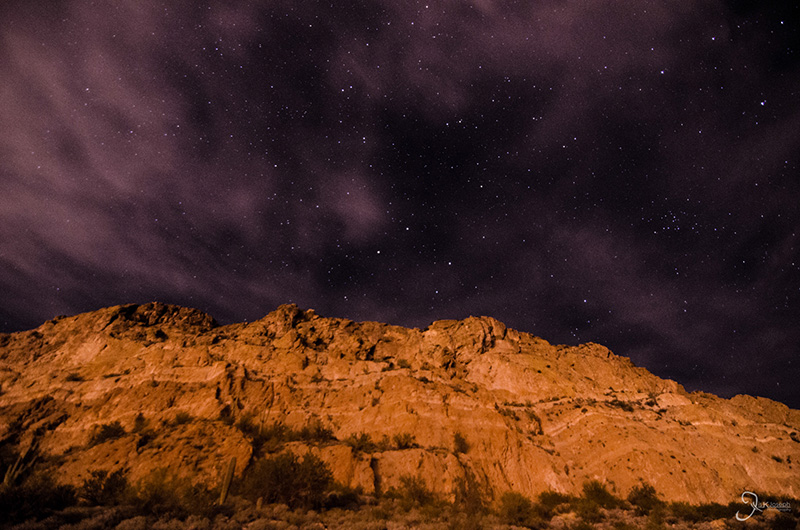
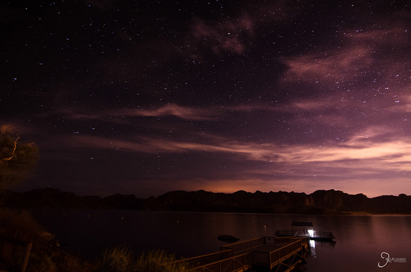
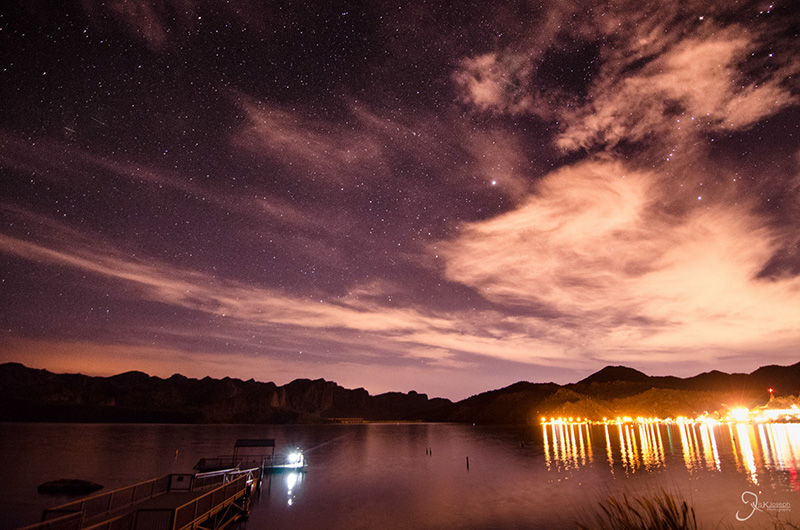
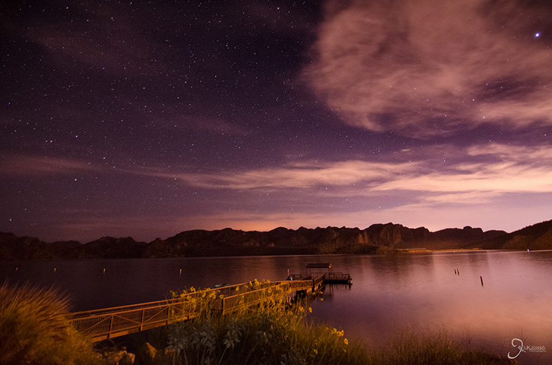
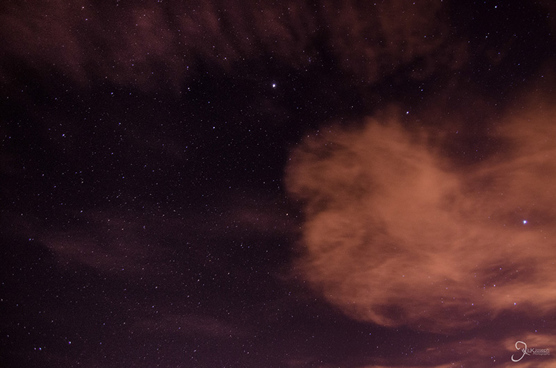
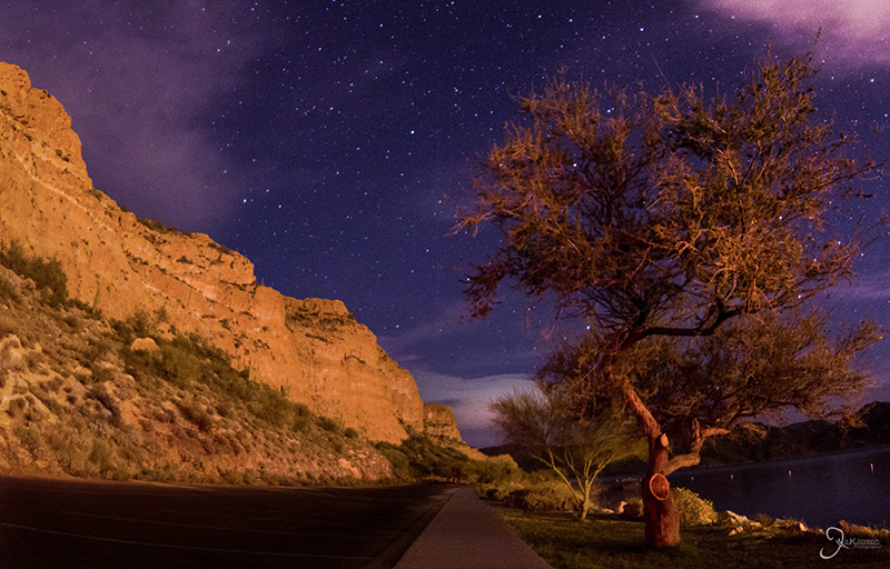
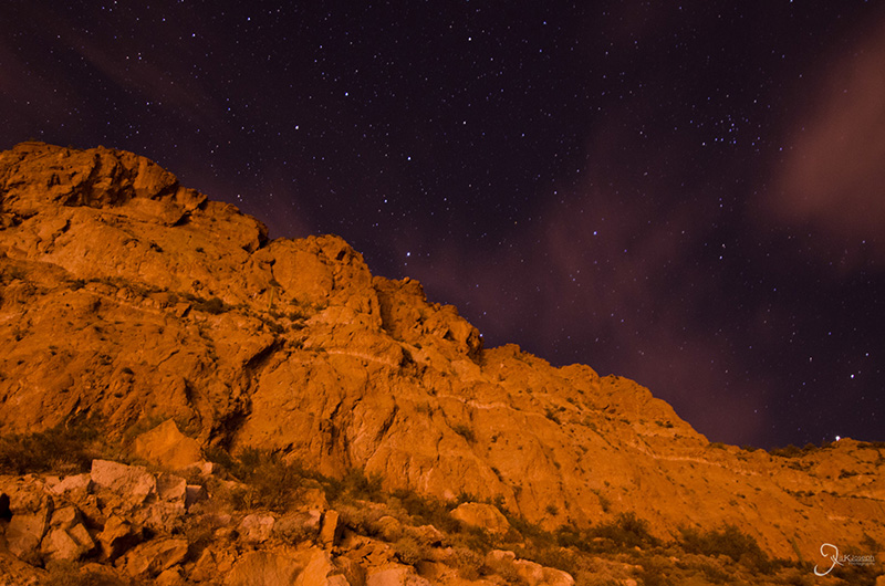
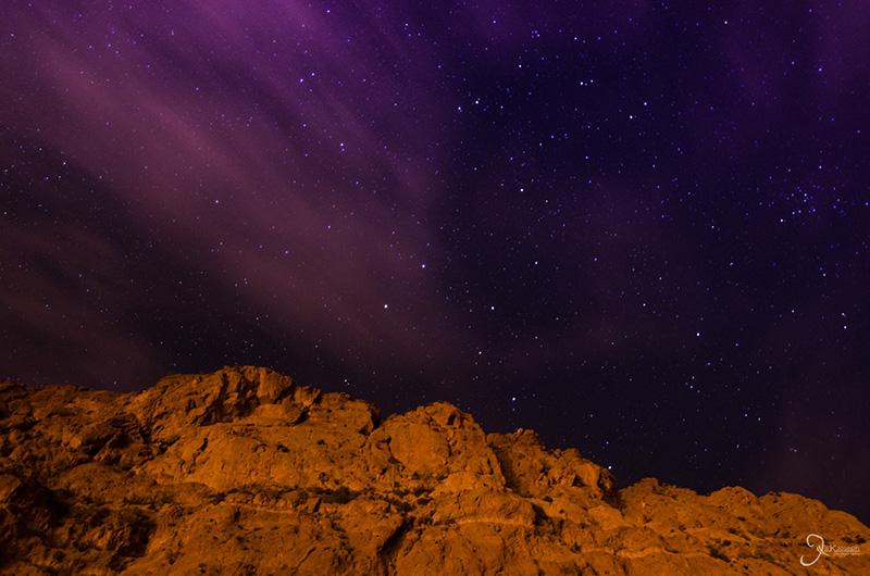
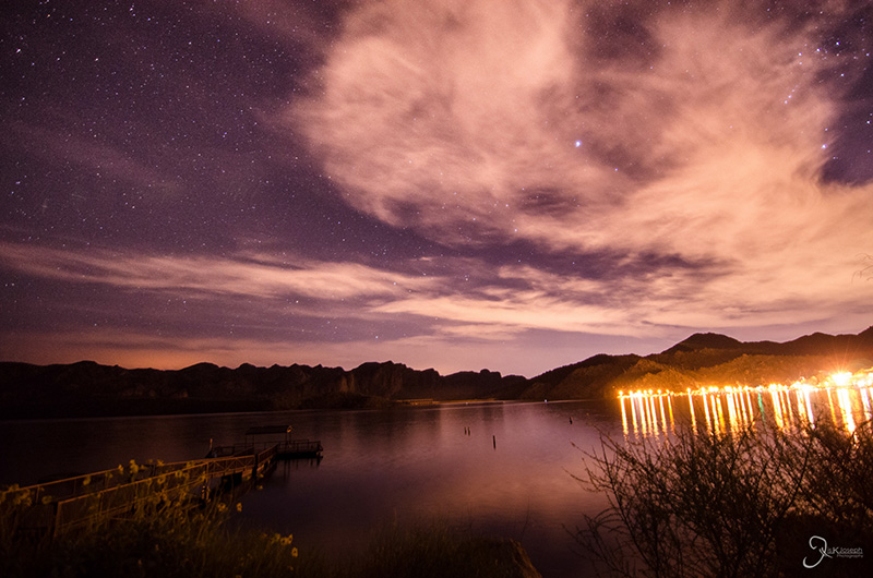
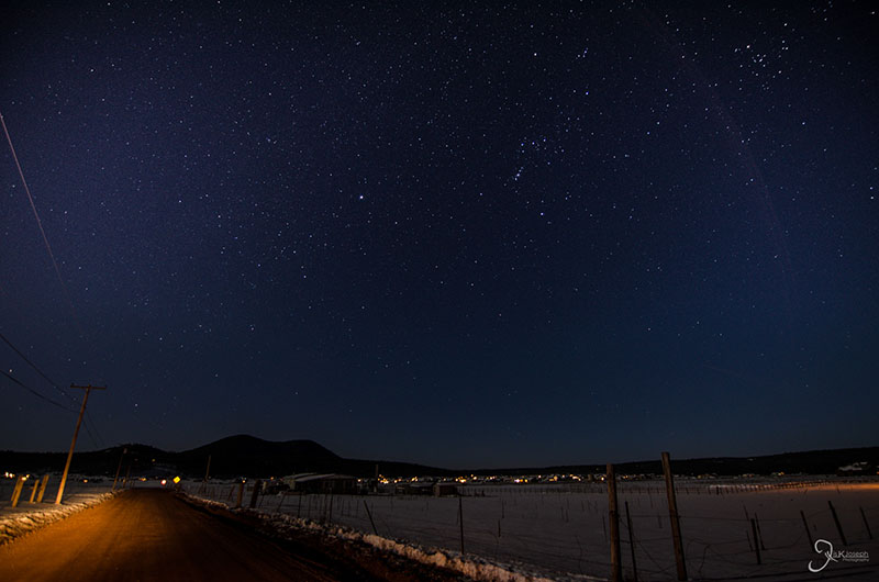
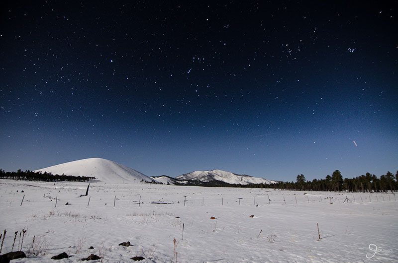
Tonto National Forest is the fifth largest forest in the U.S. and is not what one thinks of when one thinks of Arizona. This thick pinewood forest is sometimes considered an "urban forest" due to it's close proximity to an urban center (Phoenix). I had planned to visit the forest on several occasions during my stay in Phoenix, but in the end my only visit to this diversified areas was to one of its many manmade lakes, Saguaro Lake. After raving to some of the Phoenix locals of the clear night skies I've been able to see on this side of the globe, I was told to visit Saguaro Lake as the best spot near Phoenix to watch the night sky.


Piestewa Peak

Arizona

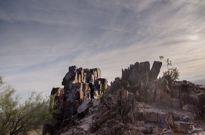
On one of the many hikes I did in Phoenix, I hiked up Piestewa Peak, the highest point in the metropolitan areas.

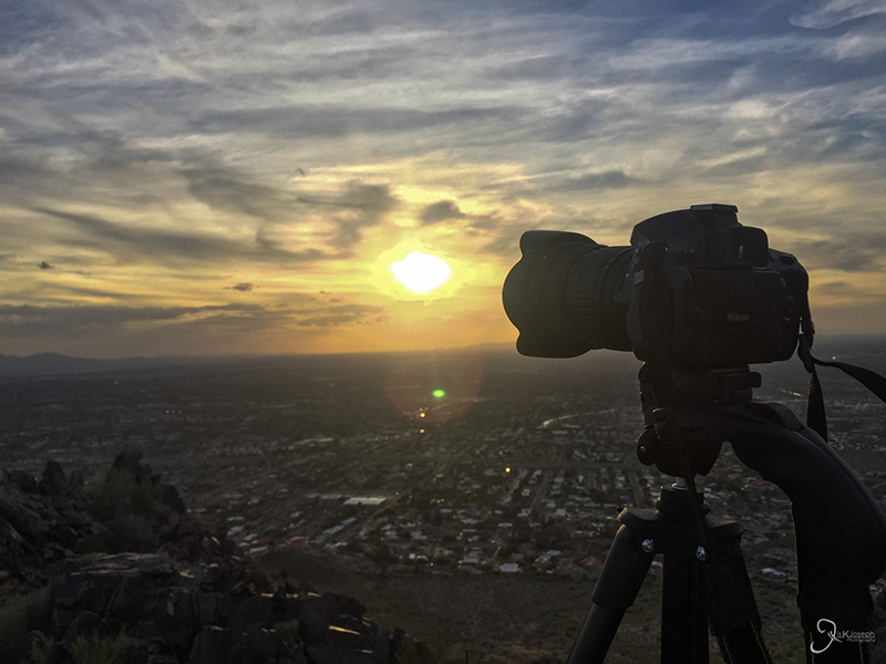
My typical camera setup.


Telegraph Pass

Arizona

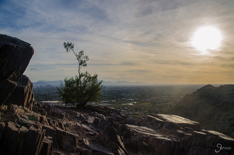
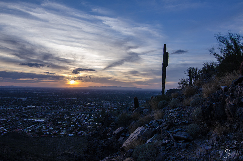
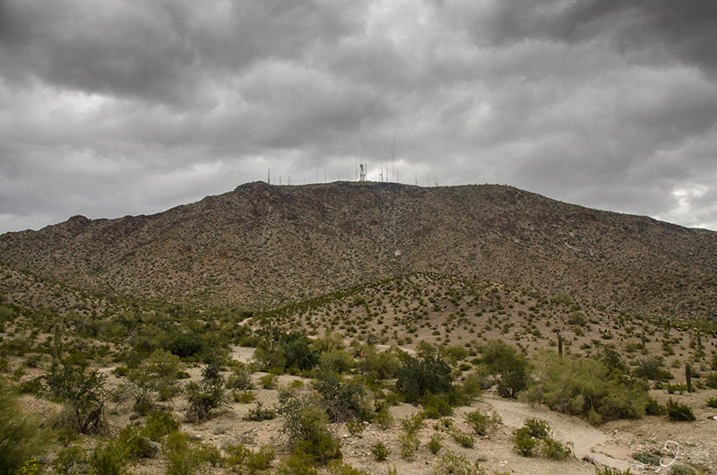
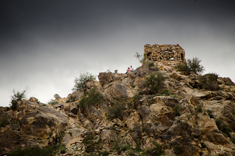
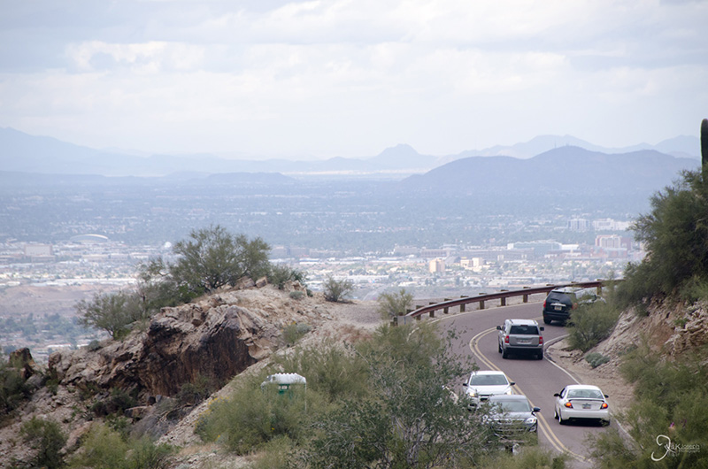
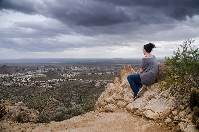
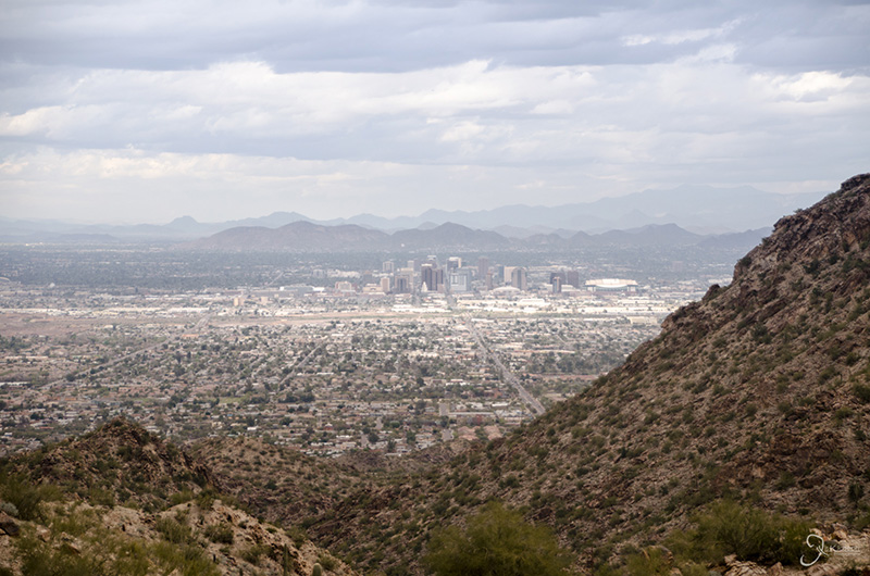
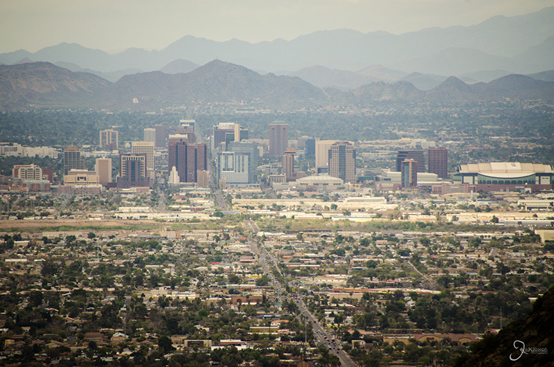
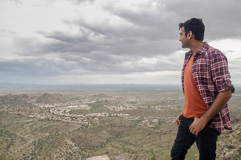
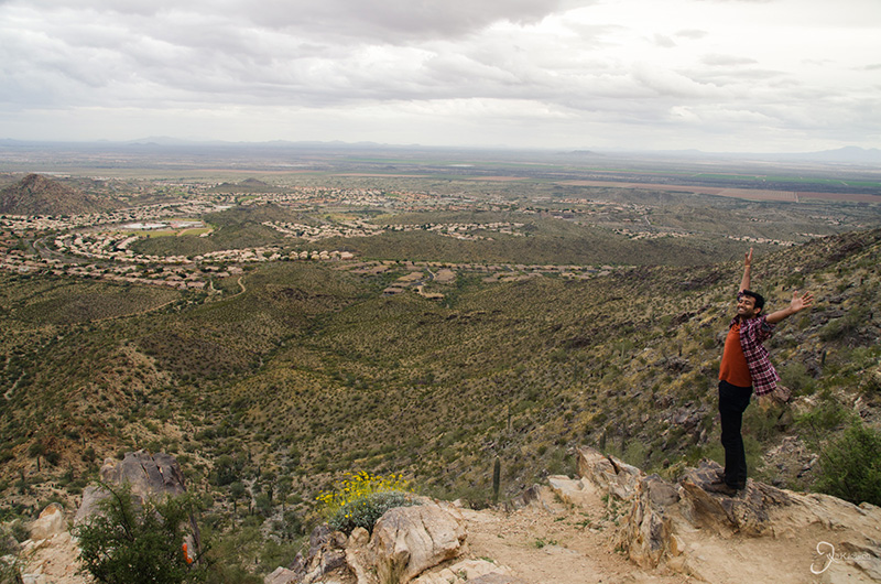
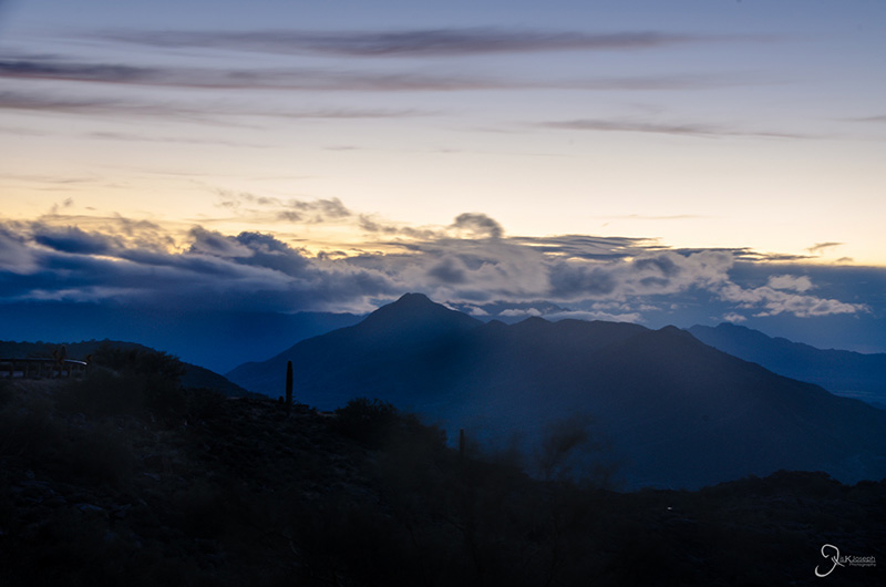
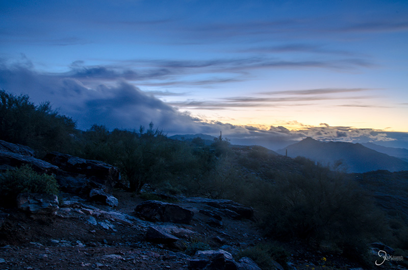
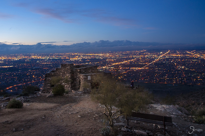
One day after hiking up Piestewa Peak, I met up with an pharmacy classmate, Sharon, who is now a practicing pharmacist in the Phoenix area, we decided to climb South Mountain along the Telegraph Pass. South Mountain is the peak located just south of the city and Telegraph Pass is known for the numerous communication towers that crown the top of the mountain. From here I was able to get one of the closest vista views of the city.

The crown of communication towers on South Mountain.

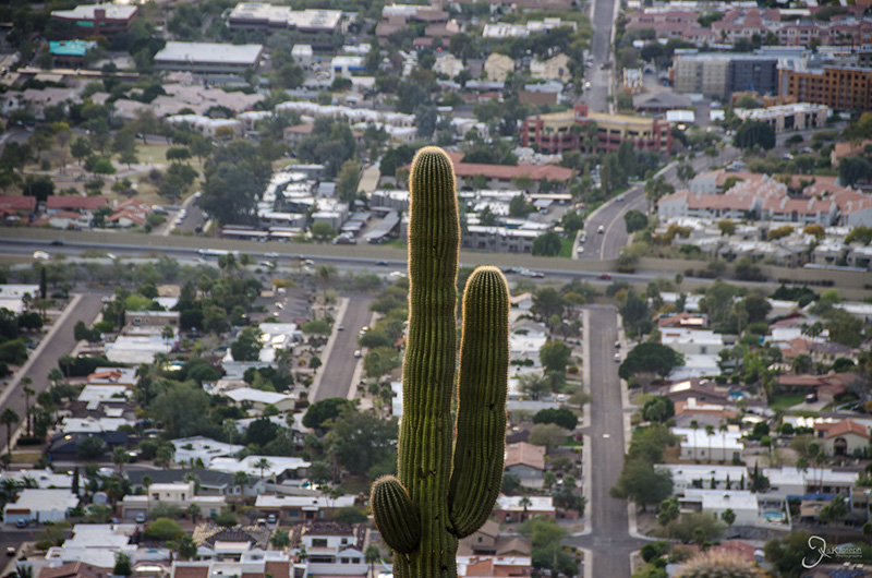
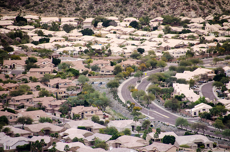
Phoenix's cookie-cutter suburbia.

A view of downtown Phoenix.

My classmate, Sharon.


Tempe

Arizona

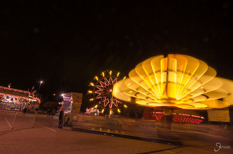
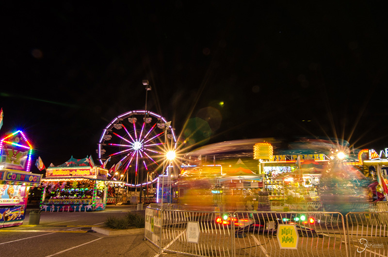
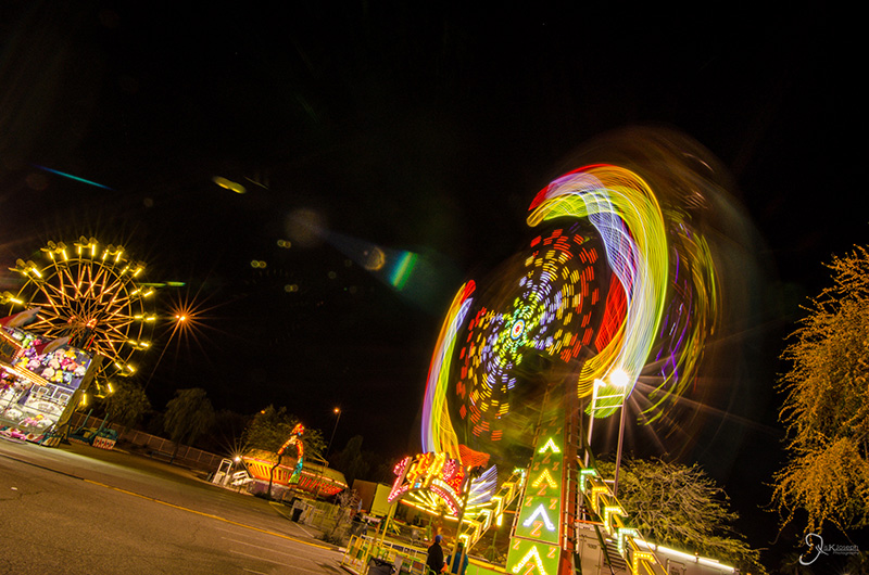
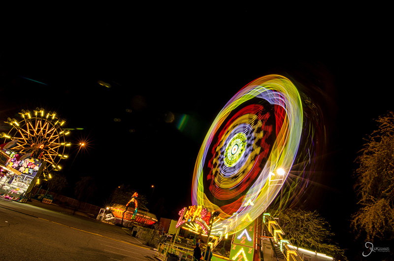
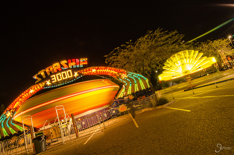
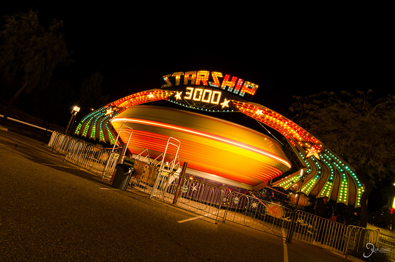
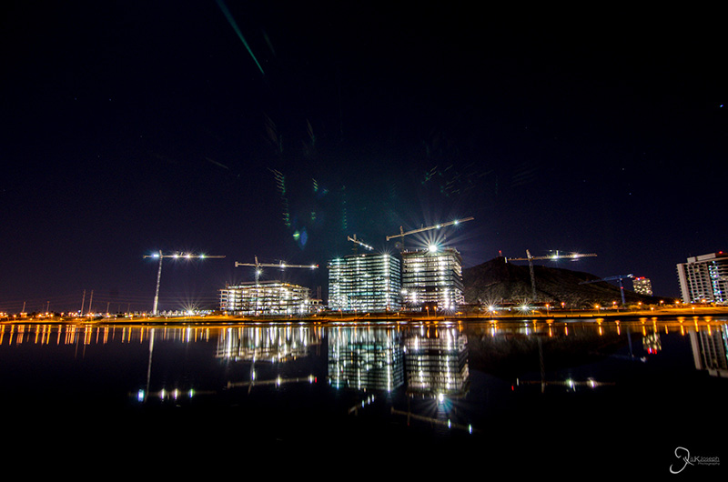
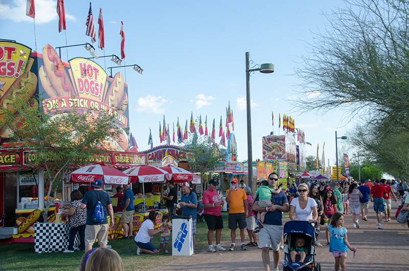
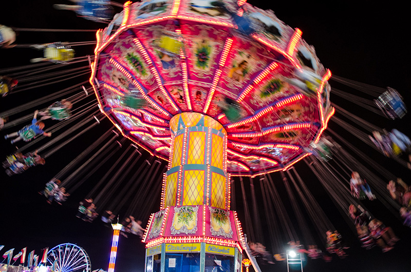
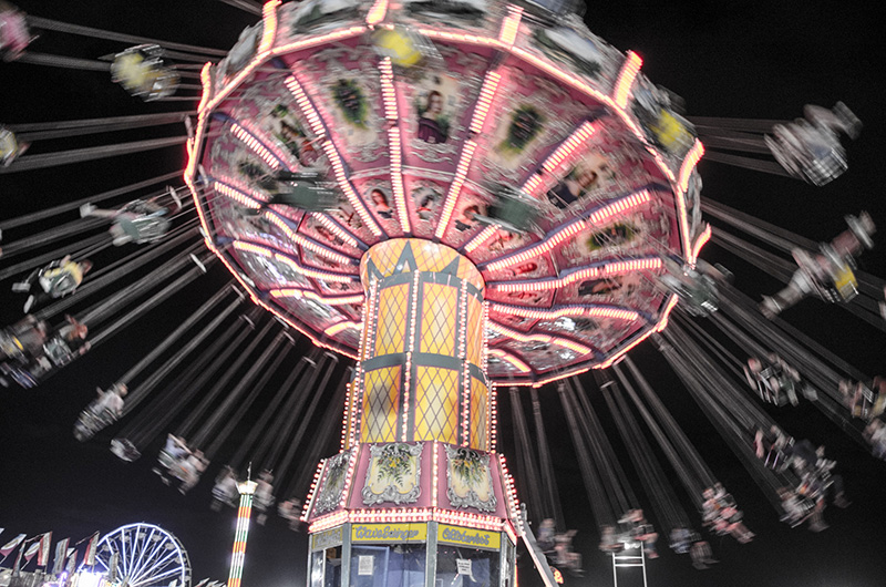
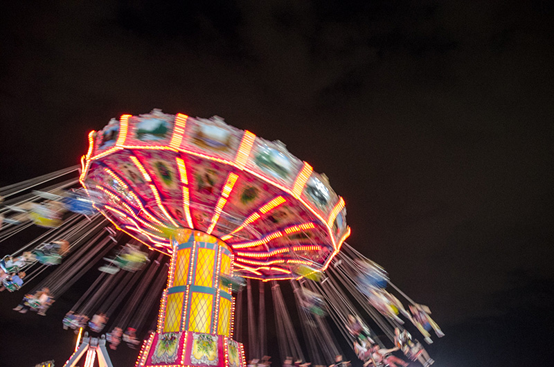
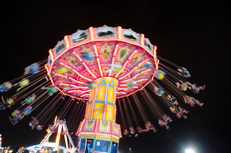
Tempe is considered to be one of the major suburbs of Phoenix, but could be a city on its own simply because it's economy is fueled by one of the largest universities in the country, Arizona State University. The one night I explored this city I was killing time at a carnival, waiting for my fiance's flight to land.


Jerome

Arizona

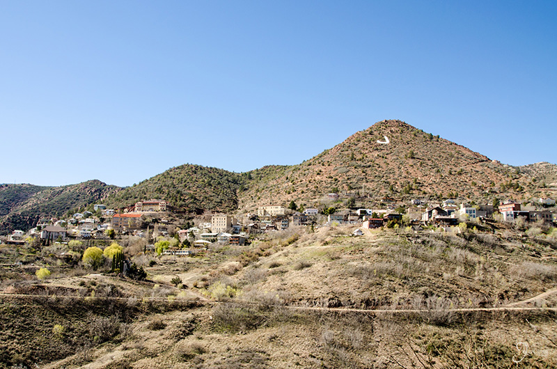
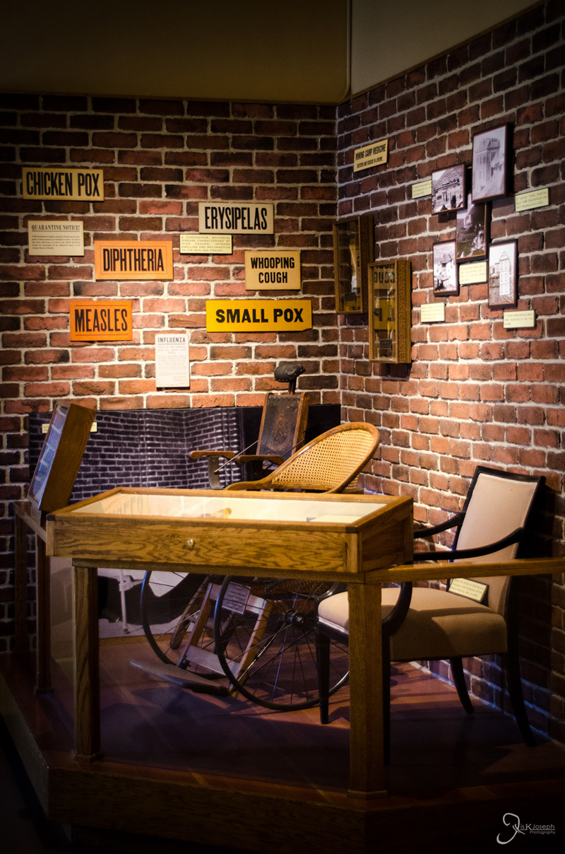
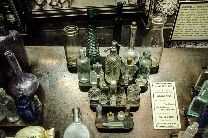
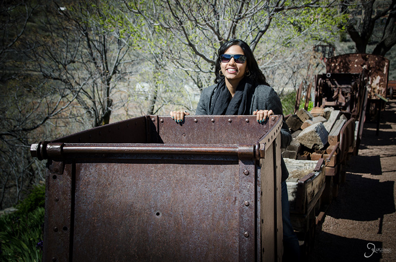
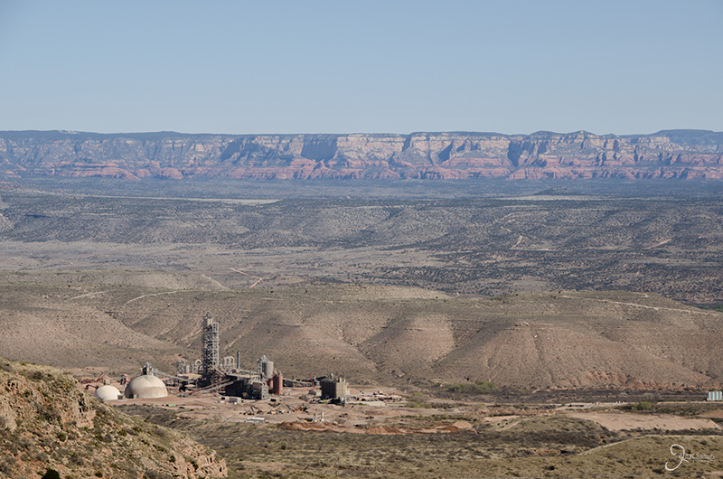
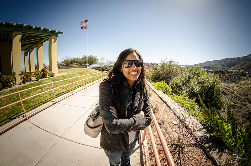
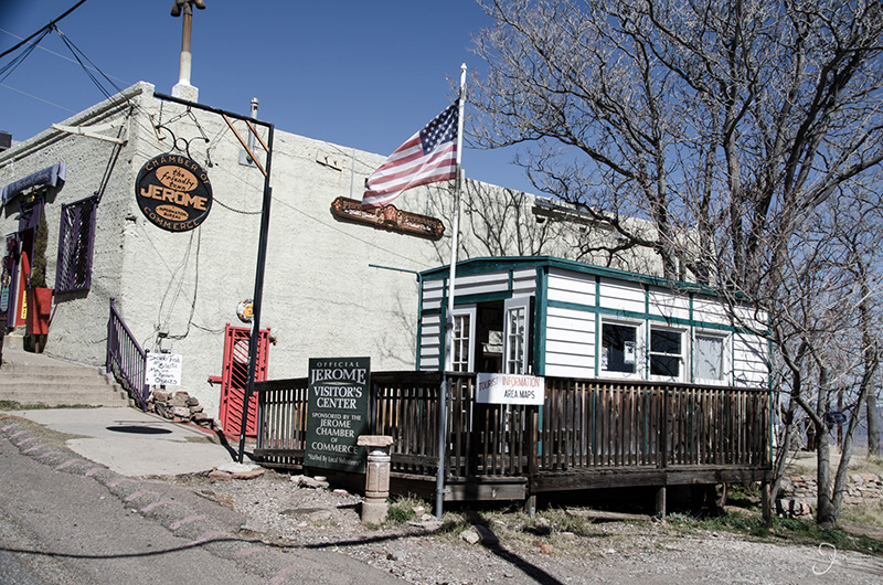
The small town of Jerome is about halfway between Phoenix and Flagstaff. It was billed to me as a desolate ghosttwon that once use to be a bustling minning town. It was probably billed as such to everyone in Arizona because I found it to be a bustling tourist trap. Although HJerome had some charm as a nice place to wine and dine, it ended up being a distraction from my true mission: to see Sedona and the Grand Canyon

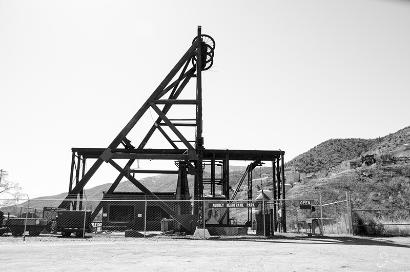
The town of Jerome and it's centuries old homes still standing.

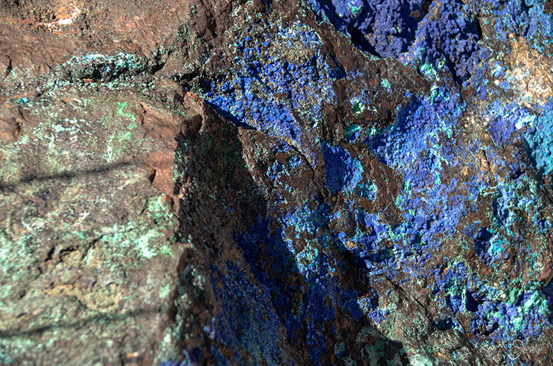
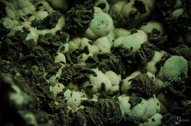
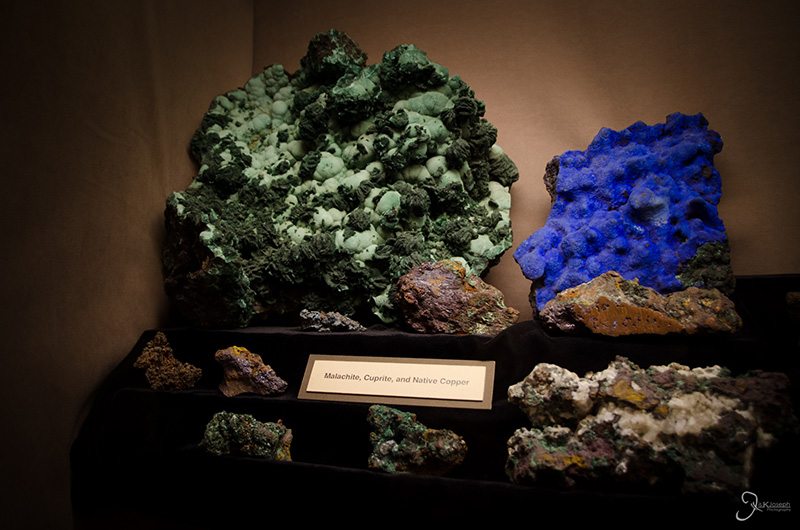
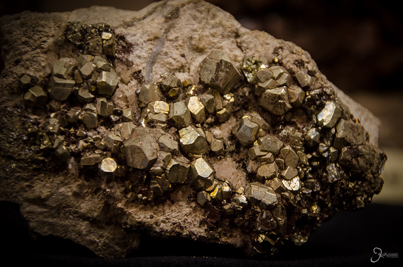
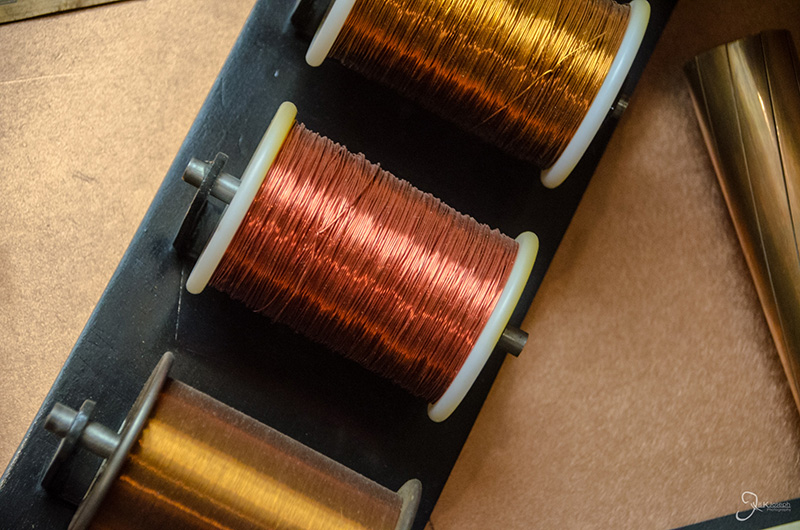
Traces of copper.


Sedona

Arizona

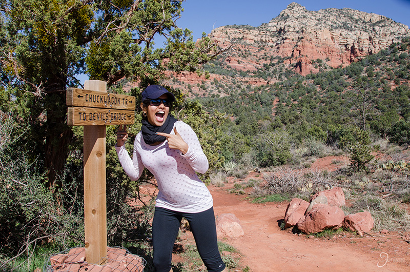
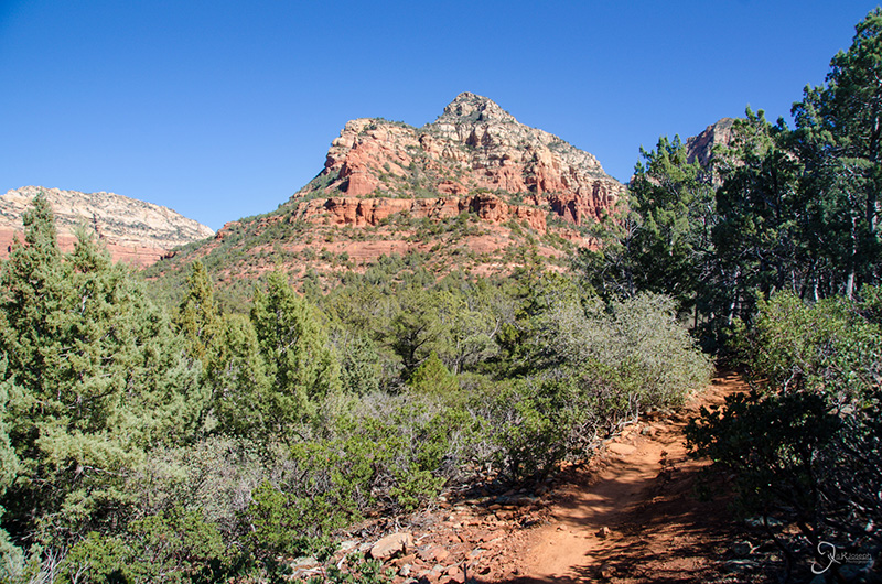
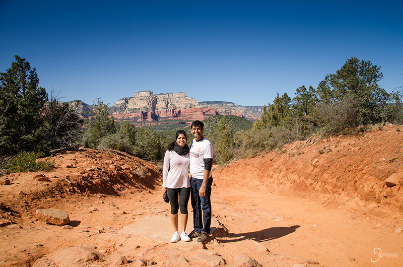
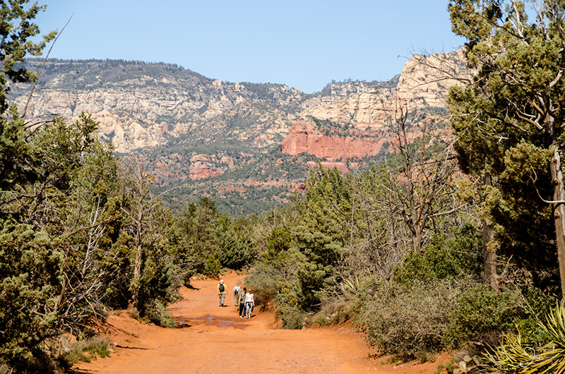
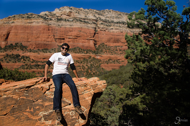
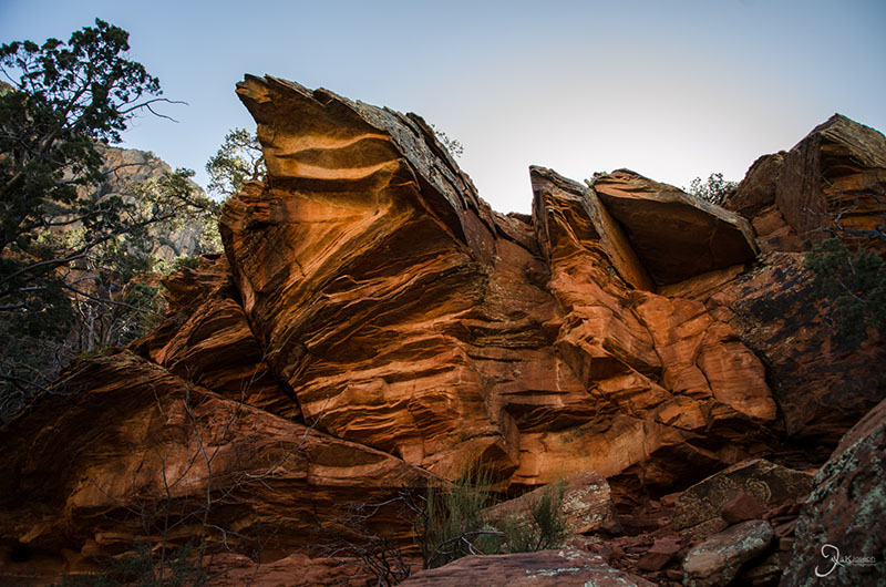
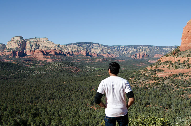
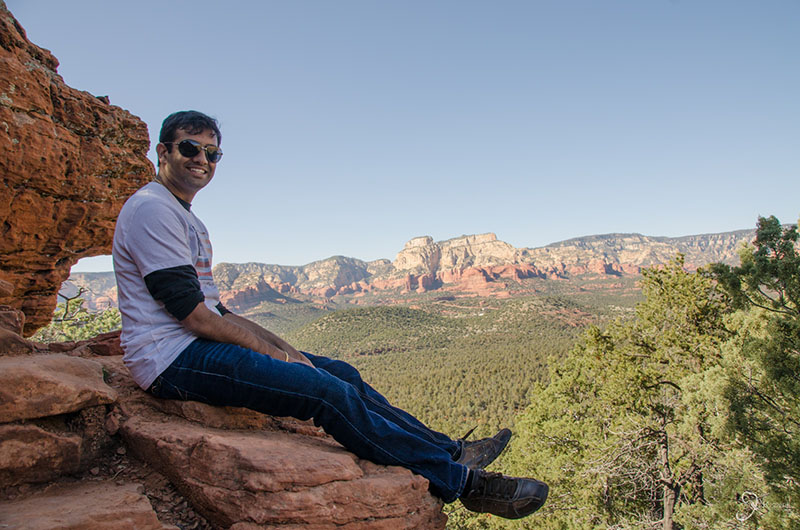
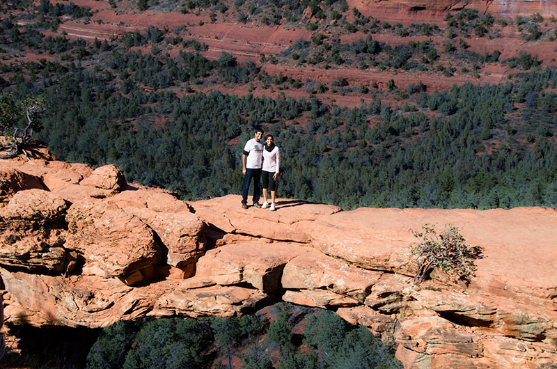
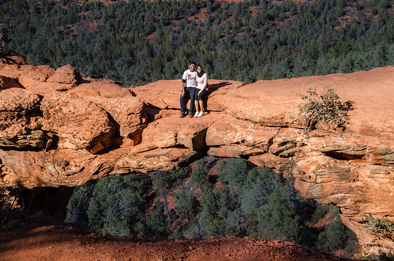
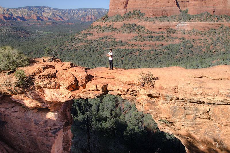
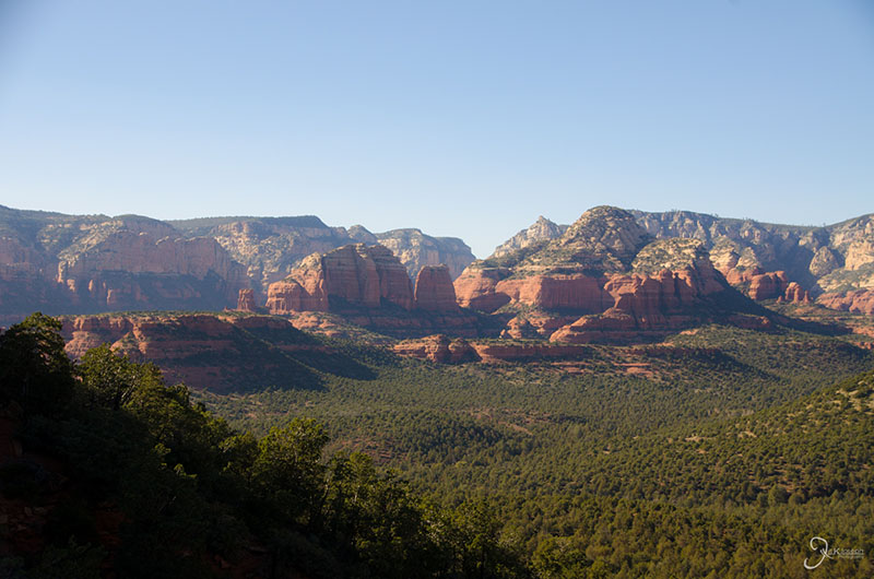
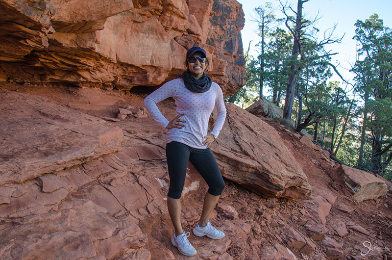
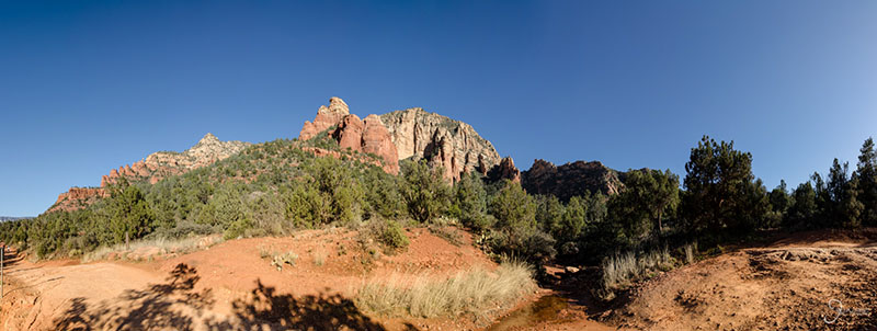
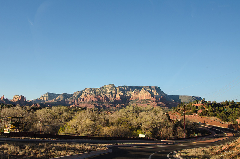
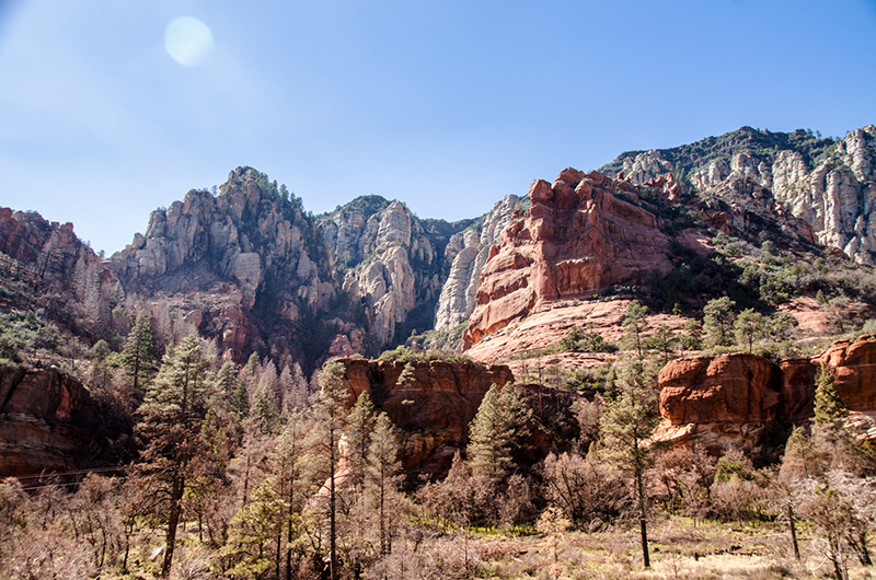
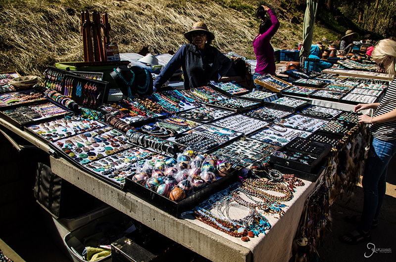
Sedona, Arizona was another pit-stop on my way to the Grand Canyon, but it ended up being an oasis entertainment and sights. The valley is known for it's bright red rocks that seem to erupt from its pine forest valleys, as well as tourist district that is overflowing with delicious eateries, gift shops that are stocked with Native American crafts, and stalls that advertise many of Sedona's natural offerings. The most disappointing part of our visit was that it was just a few hours rather than a weekend to explore all. Amritha and I eventually settled on doing the three hour roundtrip hike to Devil's Bridge, which is a natural bridge on the side of one of the mountains and is one of Sedona's more popular sights.

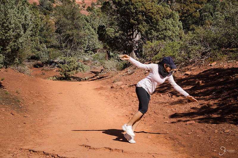
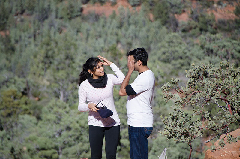
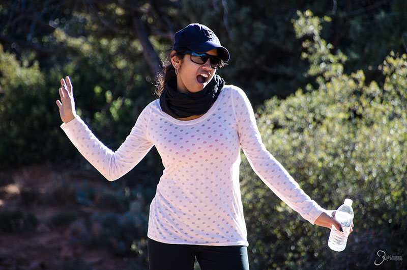
Instead of trying to catch her fall, I took this photo.

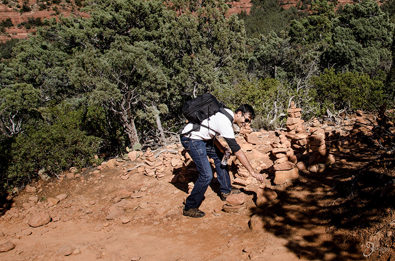
I was impressed with the piles of trail markers left by the hikers before us.

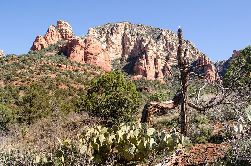
Some of the vivid colors I've seen on stone on my entire trip.

Devil's Bridge.

Devil's Bridge.

Devil's Bridge.

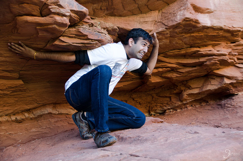
This is how I work out.

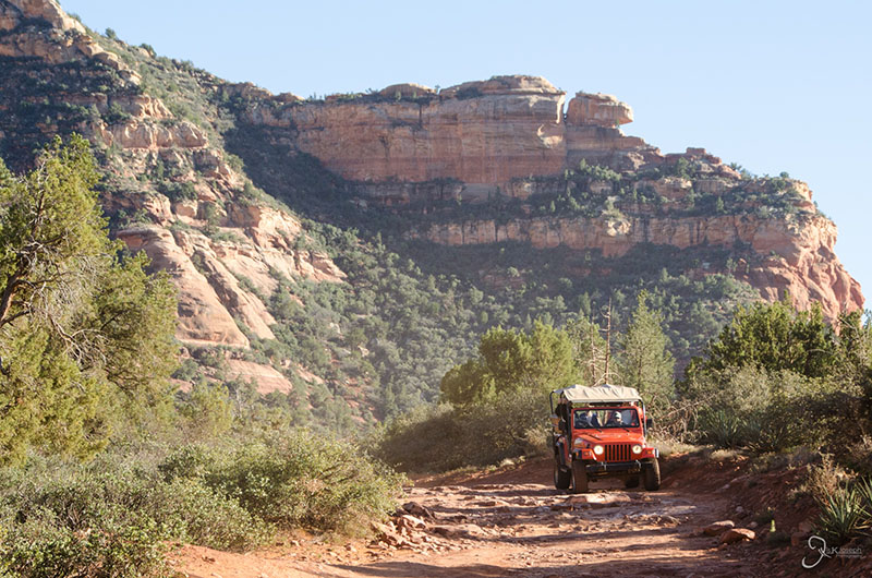
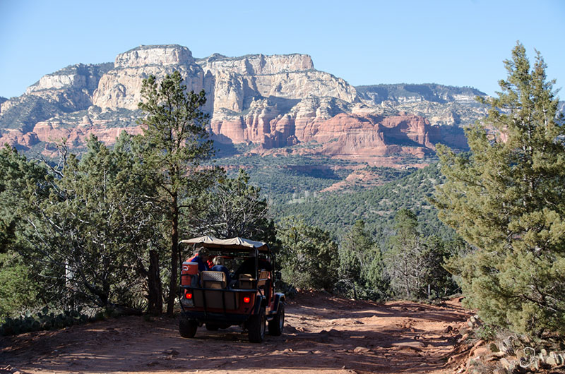
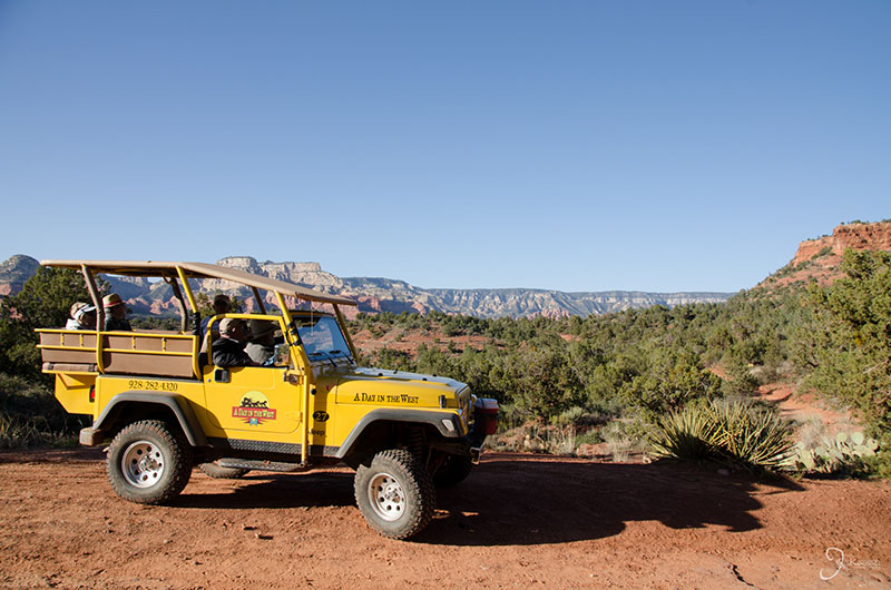
Amritha and I almost opted to take a jeep tour through the valley, but we are glad we walked up the trail instead.


A Night Through Flagstaff

Arizona

The Grand Canyon was about an hour and a half away from Sedona, but Amritha and I took our time to get there since we had an entire weekend devoted to that place.

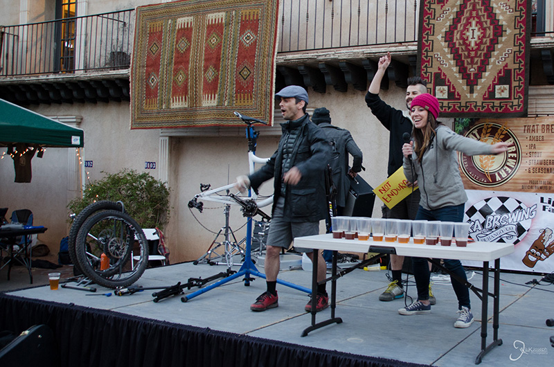
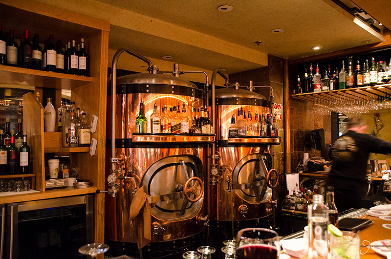
Before continuing on to the Grand Canyon, we spent dinner in one of Sedona's tourist centers where there was a beer festival taking place that showcased Sedona's local brews.

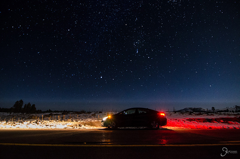
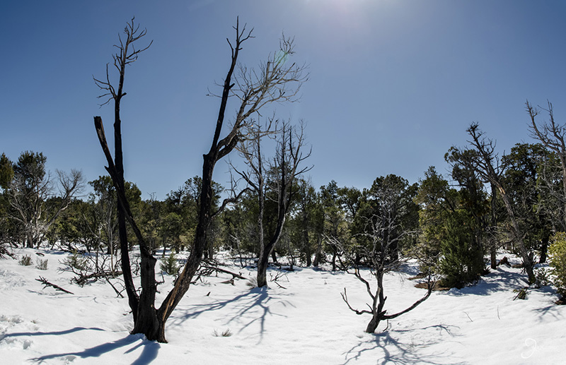
Fourty-five minutes after leaving Sedona's warm temperatures we came to a winter wonderland under s clear sky.

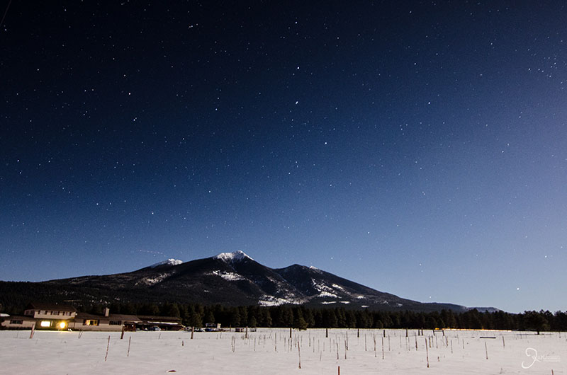
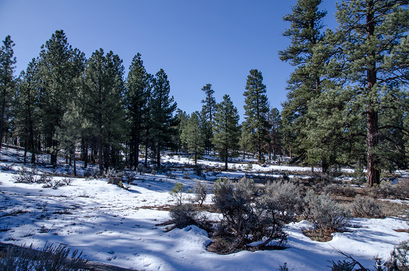
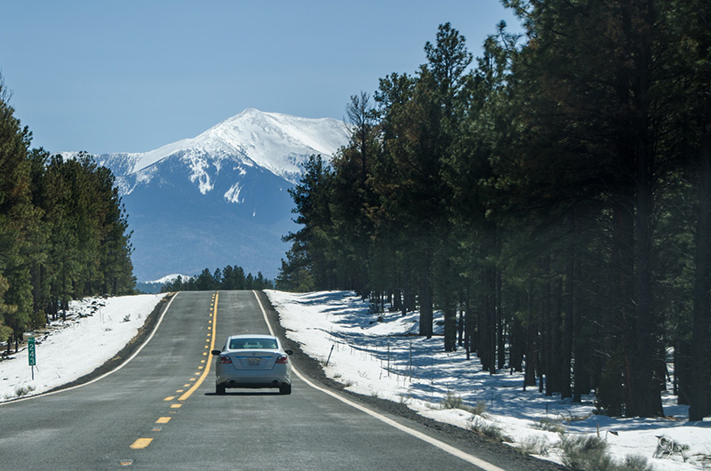
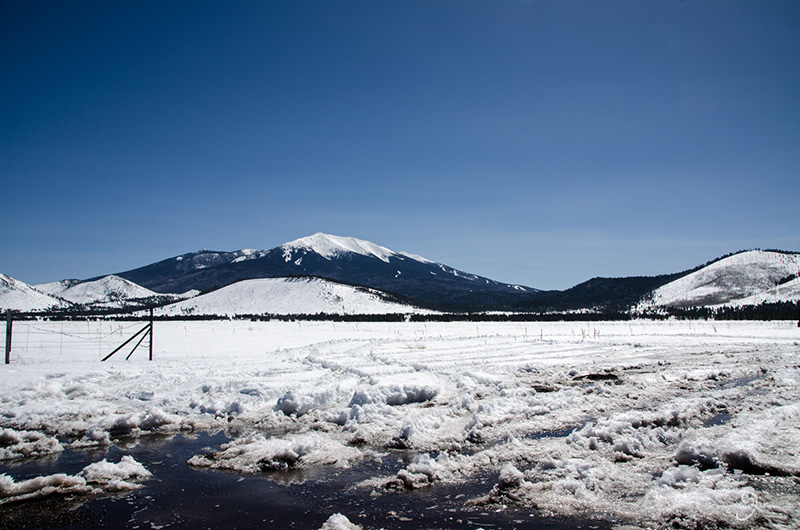
A winter wonderland in Coconino National Forest, just north of Flagstaff, and Arizona's highest peak in the background, Humphrey's Peak.


Mule Ride Along the South Rim of the Grand Canyon

Grand Canyon National Park, Arizona

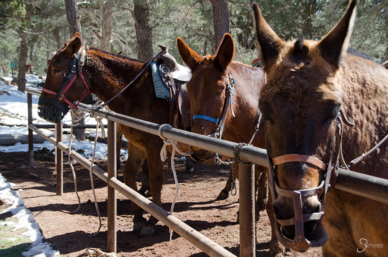
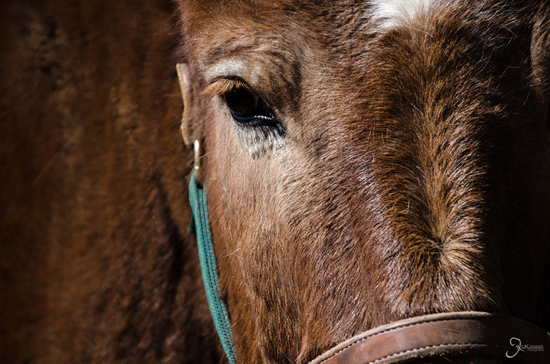
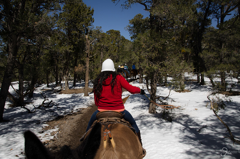
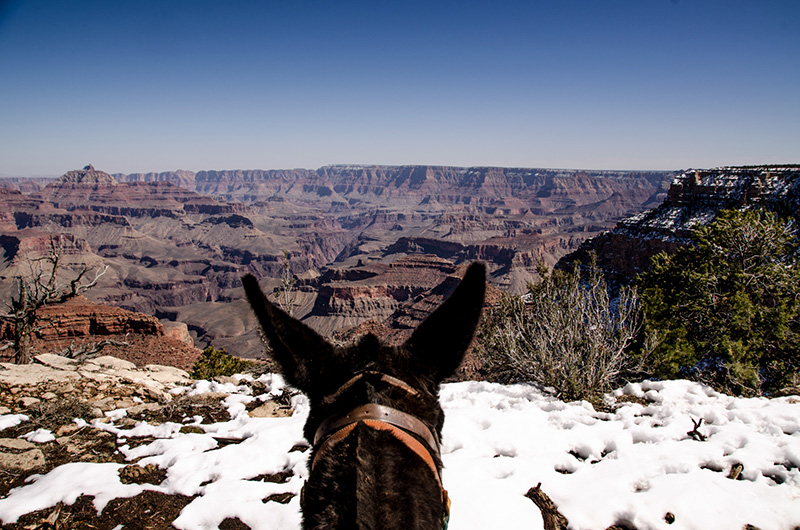
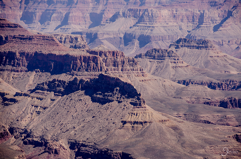
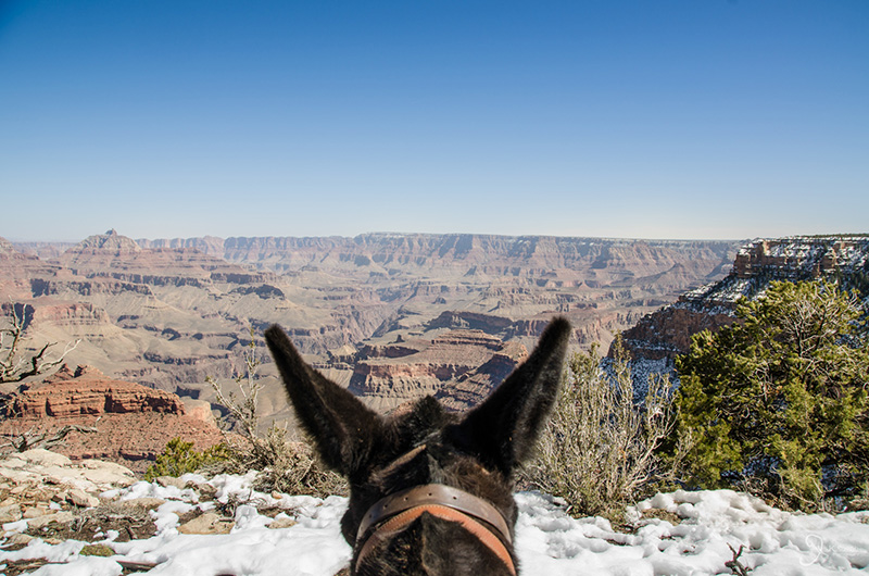
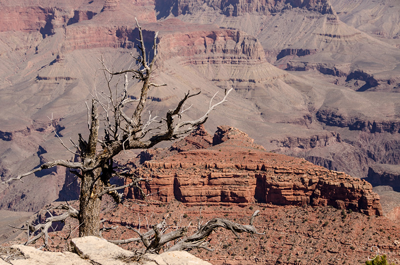
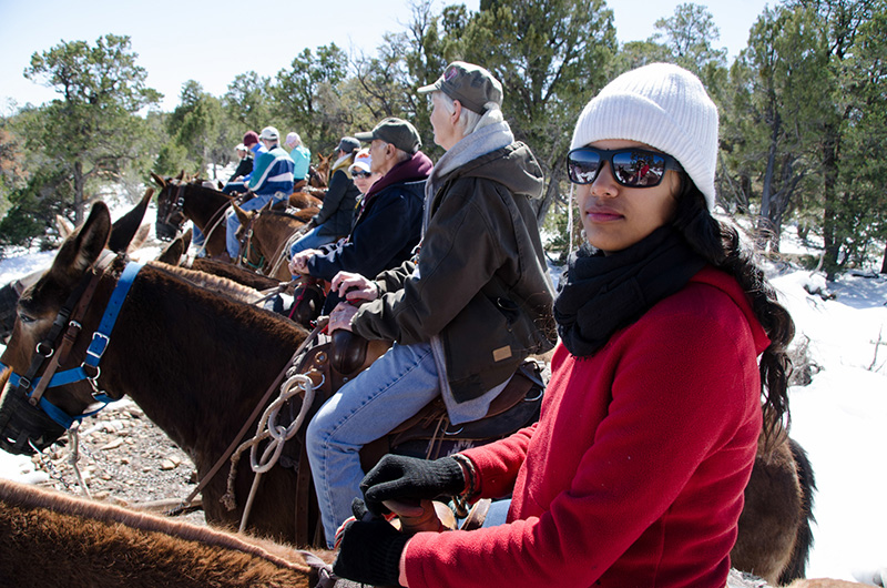
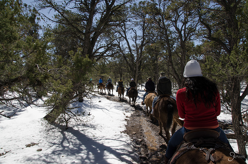
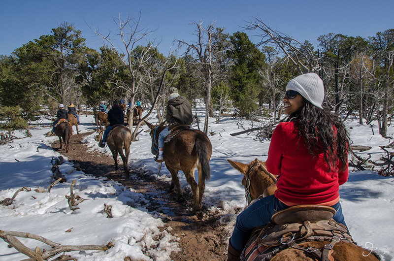
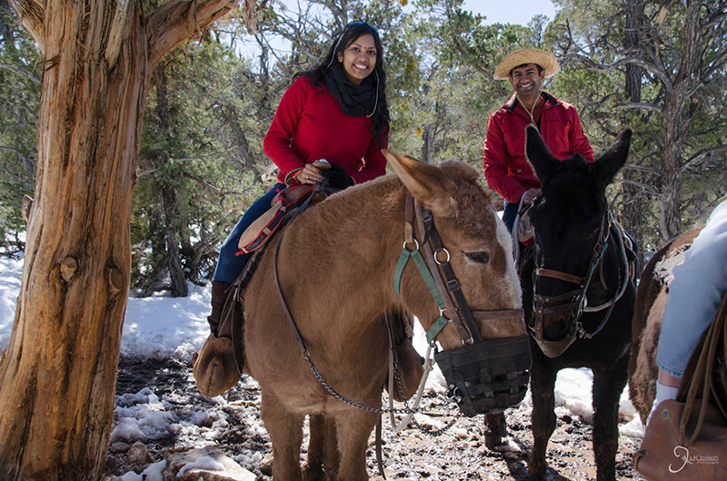
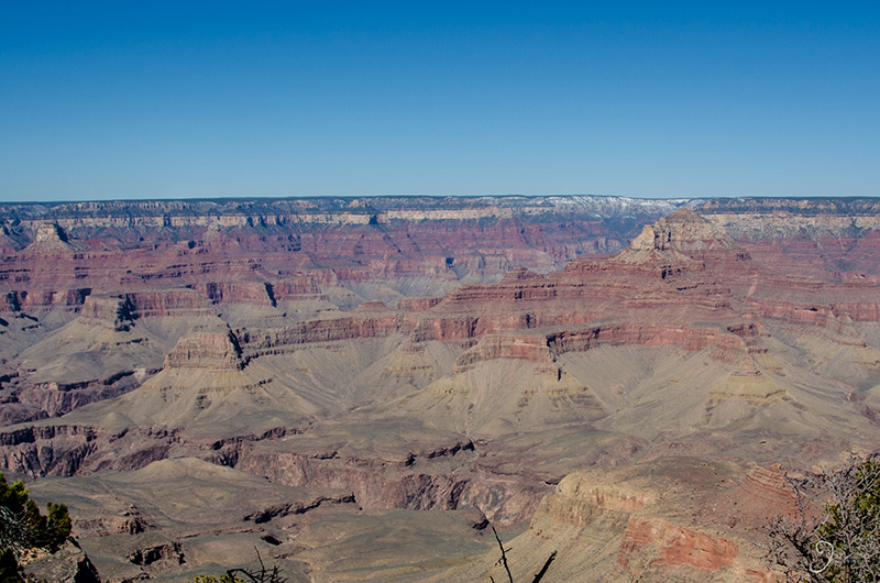
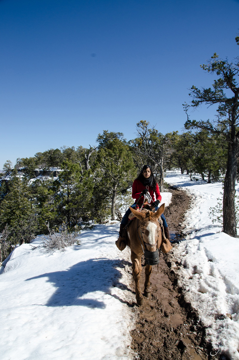
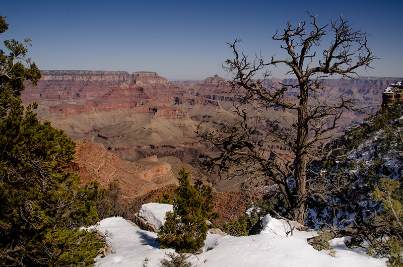
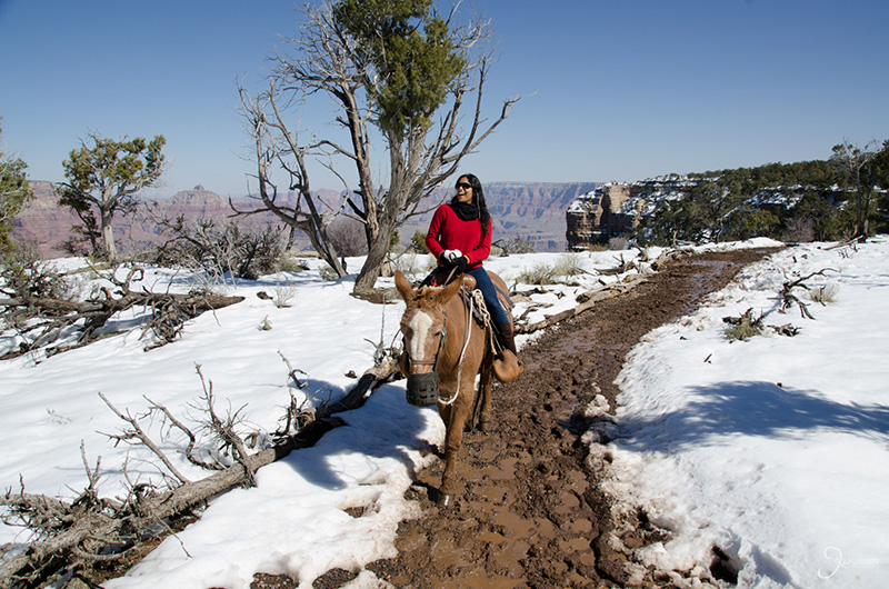
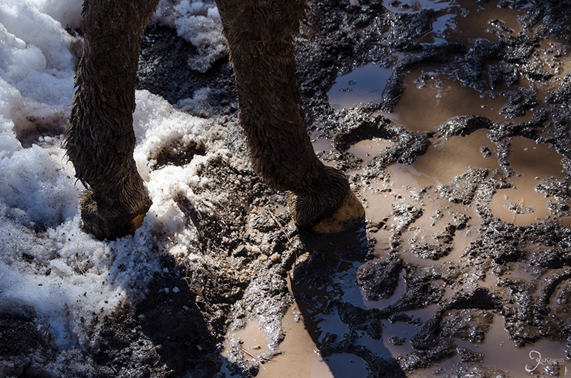
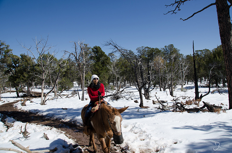
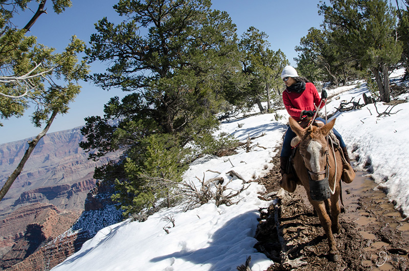
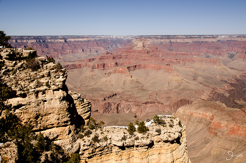
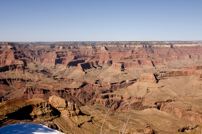
My visit to the Grand Canyon was highlighted by our mule ride along the south rim. Mule rides typically have to be booked in advanced, but being that the winter months are considered the slow season it was quite easy for us to make a reservation just days in advanced. The two hour ride didn't add any unique views of the canyon that could already be seen from the main visitor's center, but it was an added experience to be riding on top of another animal.

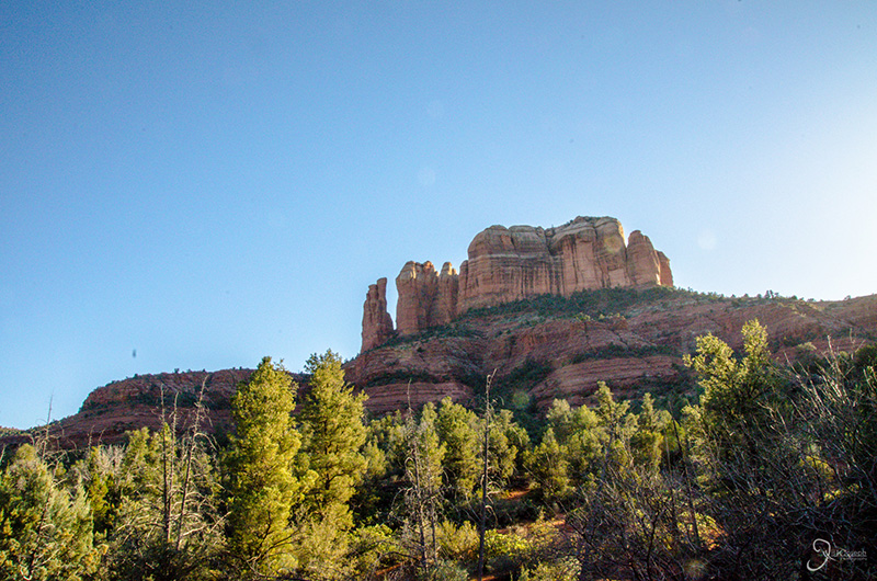
This is Cathedral Rock, one of Sedonna's iconic features. Amritha and I were originally planning to watch the sunset on the other side of the rock, but the rock was not as big as we had imagined and after hiking to Devil's Bridge we felt like we had our fill for the day.

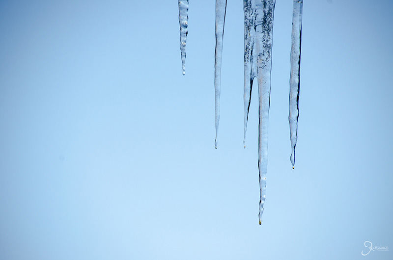
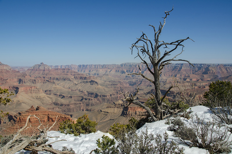
One week after the canyon's most recent winter blast, icicles were still melting during our visit.

This is the slow tourist season.

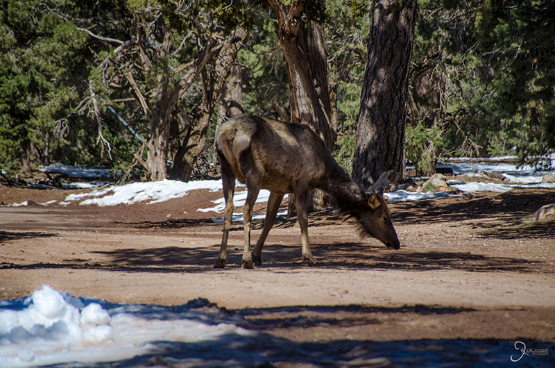
Wild elk were seen prancing around in the snow.

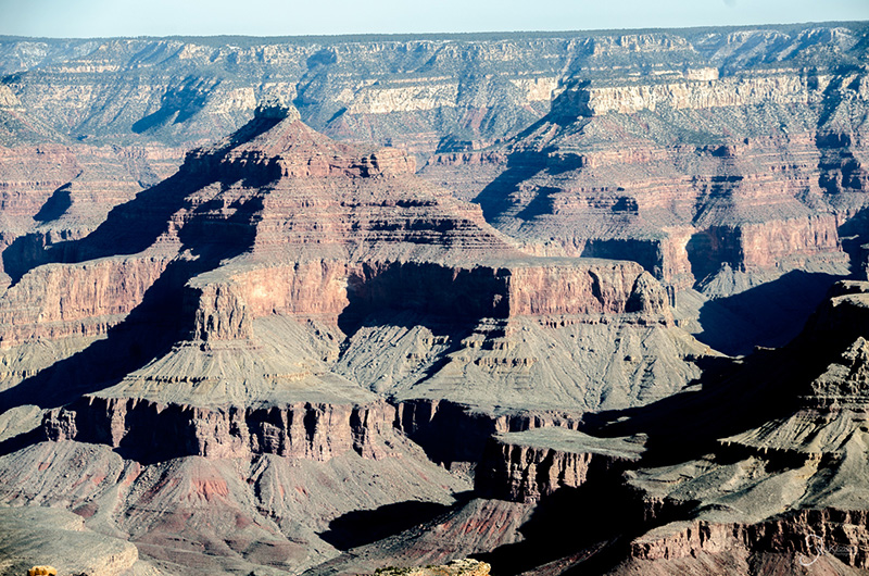
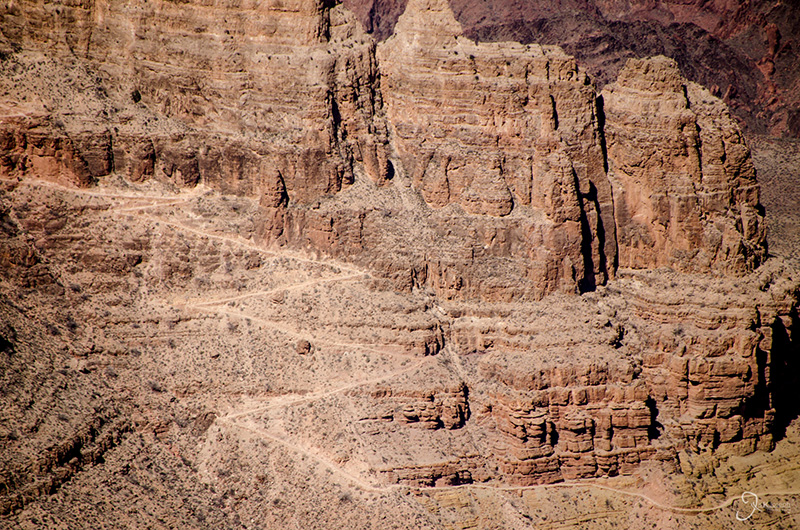
The zig-zag line on the rock face is one of the trails that dive 5,000 feet to the base of the canyon. The dangerous journey takes about two days on mule.

A view from my ass.

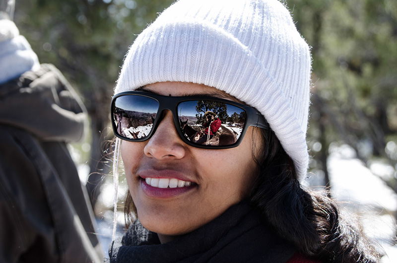
Amritha and I on our mules named Junkie and Escalade, respectively.


Sunset At The Grand Canyon

Grand Canyon National Park, Arizona

After the mule ride, Amritha and I got our fill for the day and since there wasn't enough time to fit in another activity, we stayed near the Grand Canyon Tourist Center to watch the sunset.

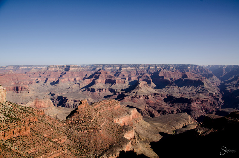
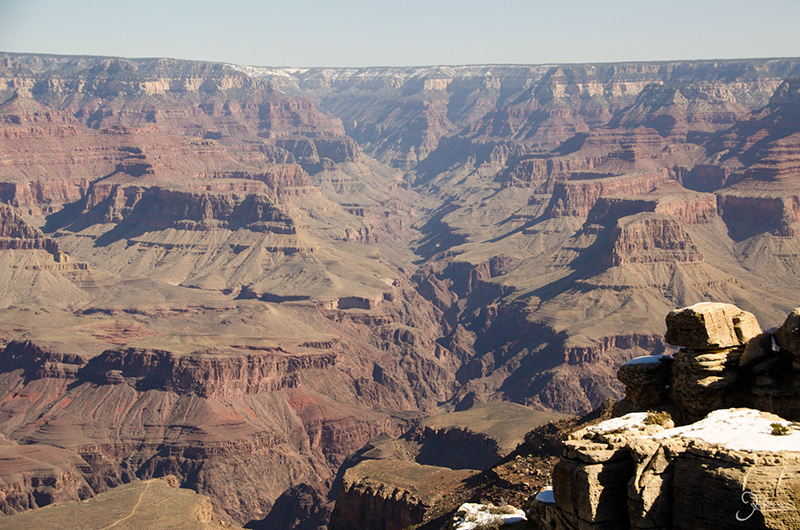
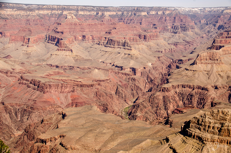
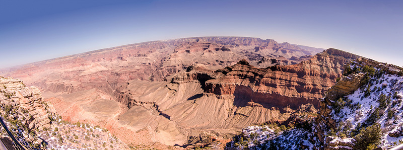
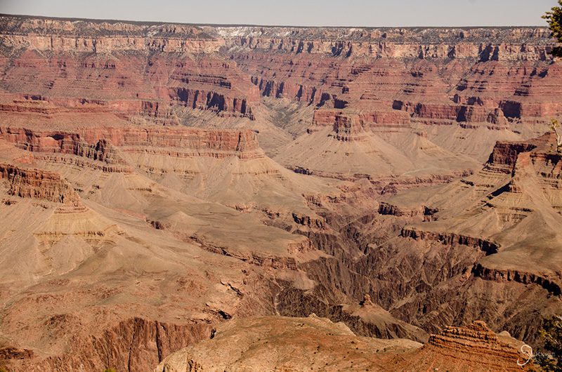
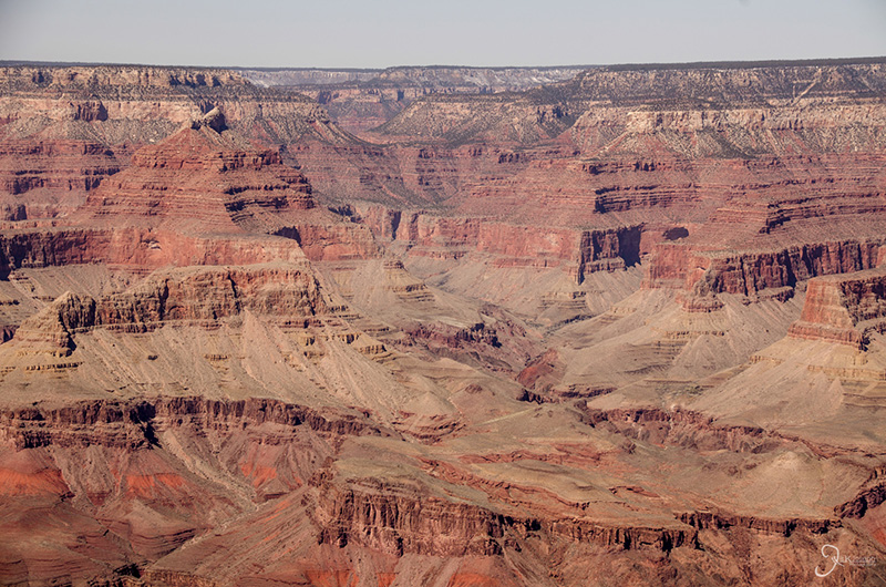
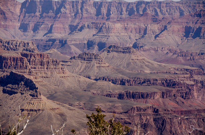
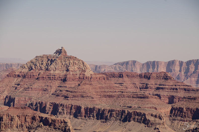
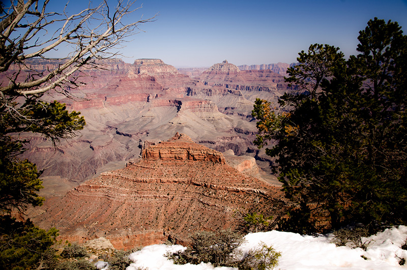
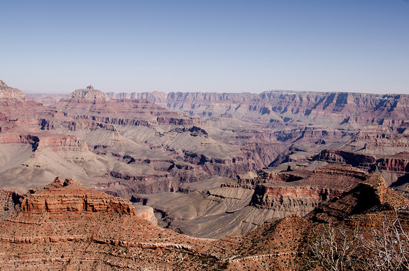
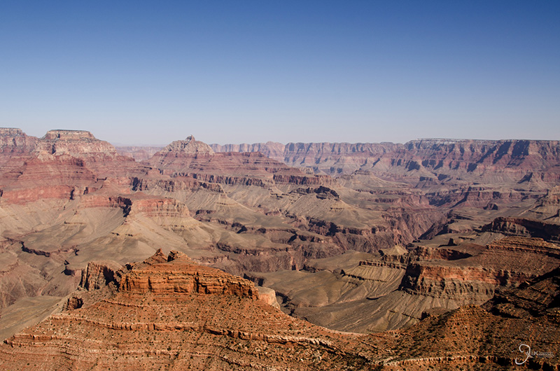
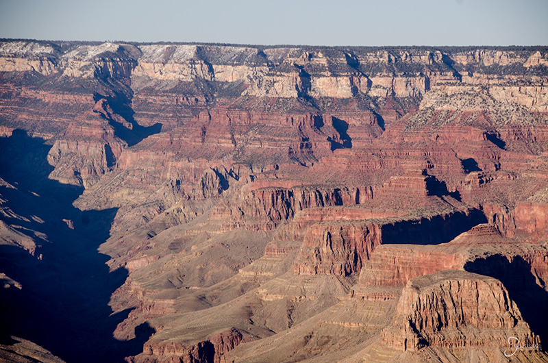
The Grand Canyon truly is breathtaking and should be seen by everyone who has the opportunity to go, but with that said, I expected more. Despite being so enormous, the 10-18 mile expanse leaves room for dust and clouds, giving my view at the time a subtle haze which dulled the colors of the rock. Furthermore, Amritha and I set aside two days to visit the Grand Canyon, which was the worst choice to go about our visit. Just to see the canyon from the south rim only requires a day trip from Flagstaff or, better yet, Sedona. But to venture into the canyon by mule, hike, or even to explore the Colorado River, requires at least three days time. Obviously, my next visit will be planned in such a way.

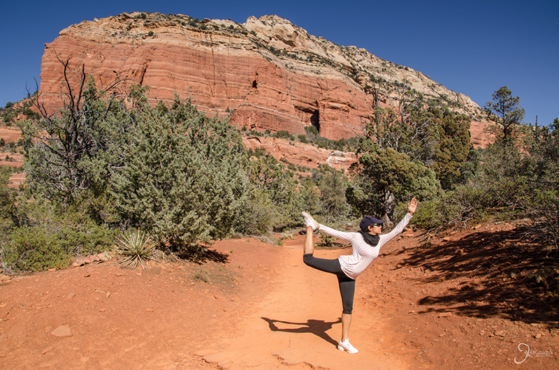
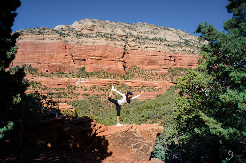
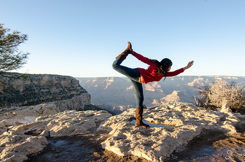
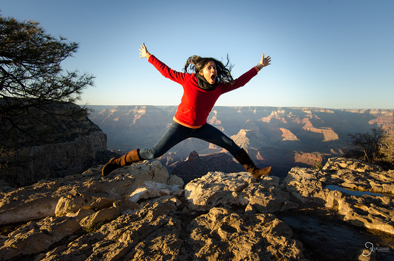
Amritha performing one of her yoga poses.

Me trying to do one of my yoga poses.

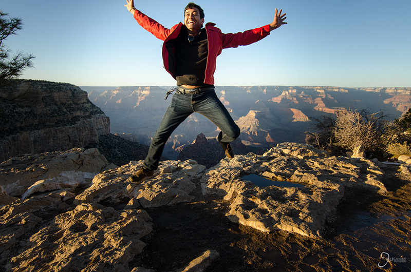
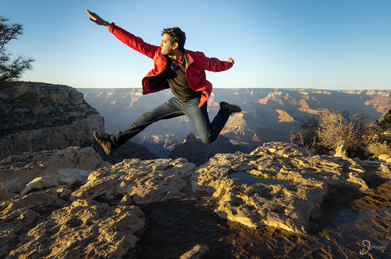
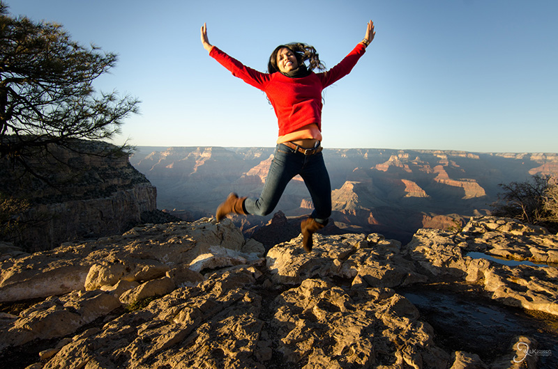
My flying-karate-swan pose.

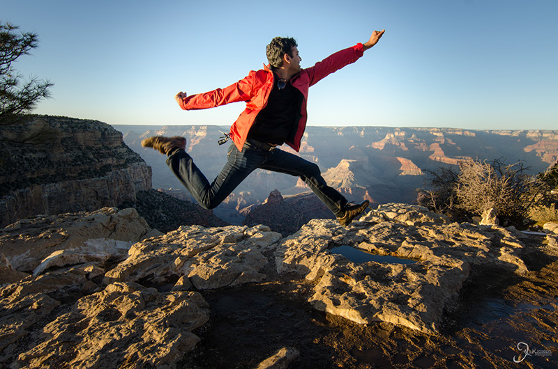
My reverse-flying-karate-swan pose.

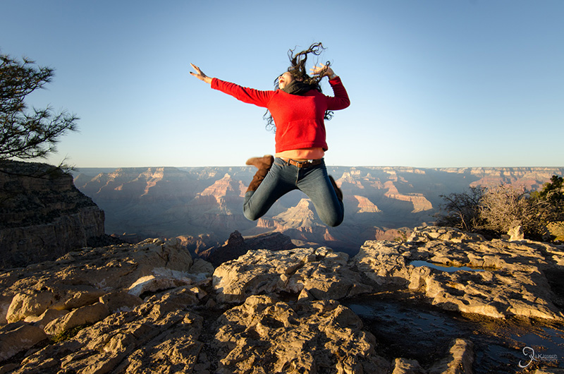
Amritha trying to mimic one of my poses.

Amritha trying to mimic one of my poses.

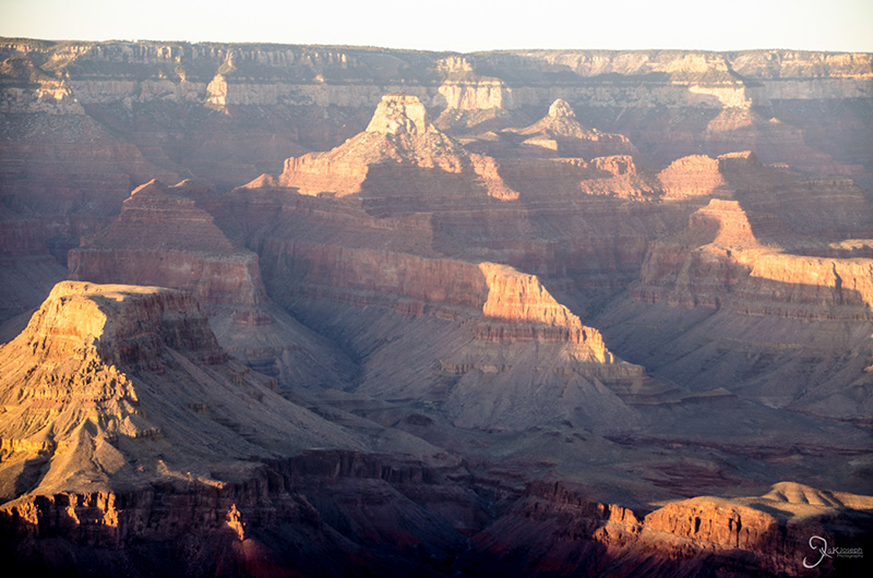
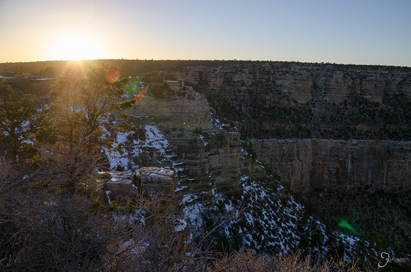
Waiting for the sunset, or in photo-speak, the golden hour, to see some of the vivid colors of the Grand Canyon.

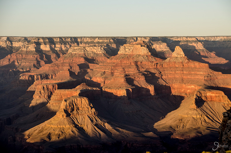
There's that color!

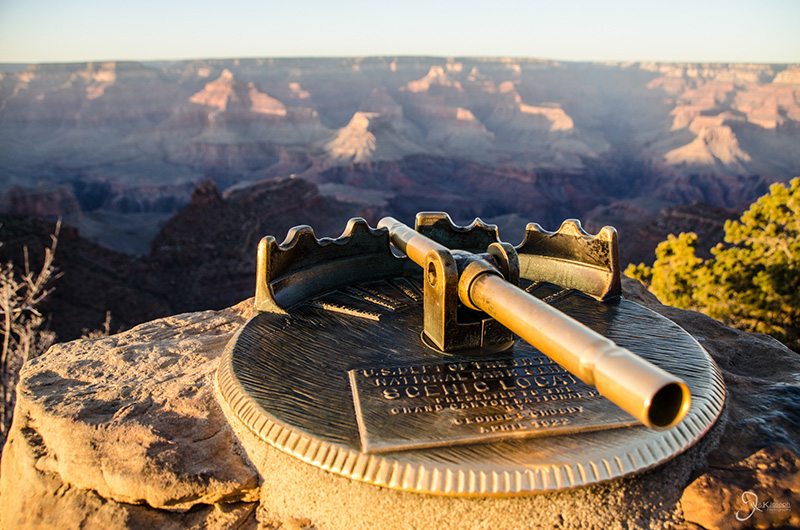
A telescope that identifies some of the named rock structures in the canyon.


From The Grand Canyon To Montezuma's Castle

Arizona

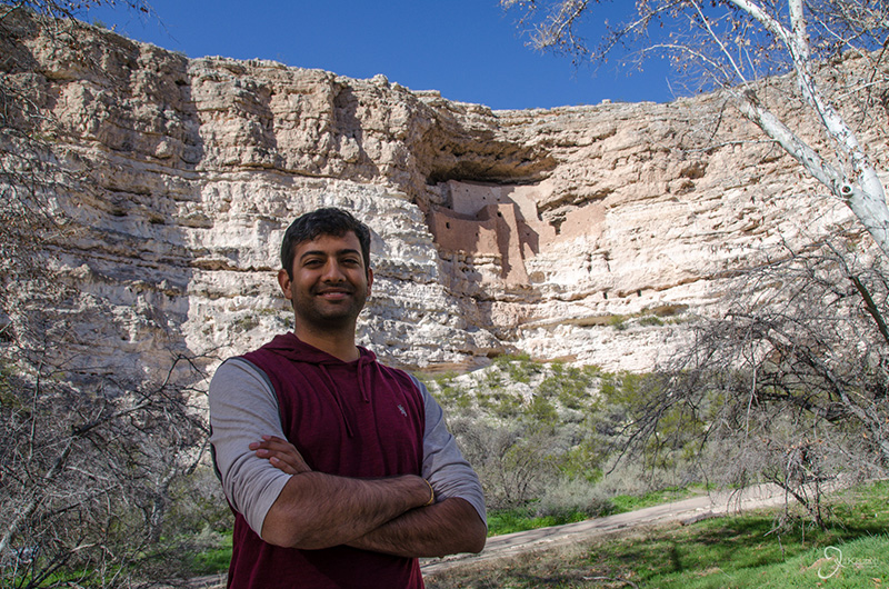
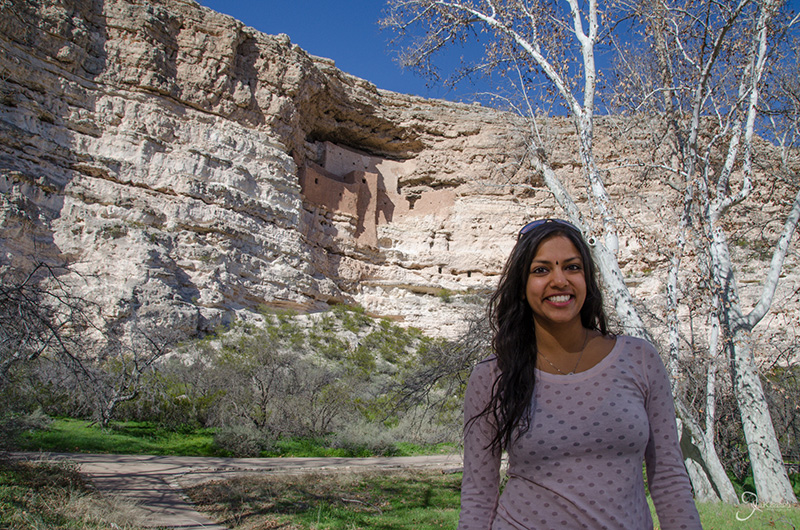
Just like on the trip to the Grand Canyon, our return trip to Phoenix consisted of several mini-activities and sights including Montezuma's Castle.p>

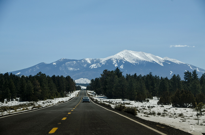
Coconino National Forest was still melting away as we drove through it one last time. Humphrey's Peak, Arizona's highest point, is in the background.

We stopped in Flagstaff for lunch to treat Amritha to one of my favorite restaurants that I found in Phoenix. Pita Jungle is a chain of restaurants that offers an eclectic selection of dishes and is very vegetarian friendly.

Looking back at Humphrey's Peak one last time.

We took the scenic route back through Sedona instead of the interstate. A smart choice.

Just before reaching Sedona we stopped at one of the many jewelry shops selling authentic Native American jewelry and art.

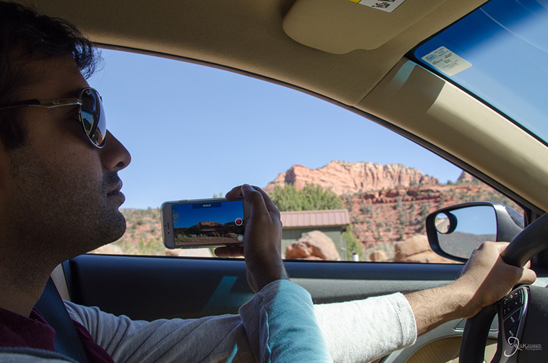
I've been caught! this is how I've been able to capture some of my road trip photos.

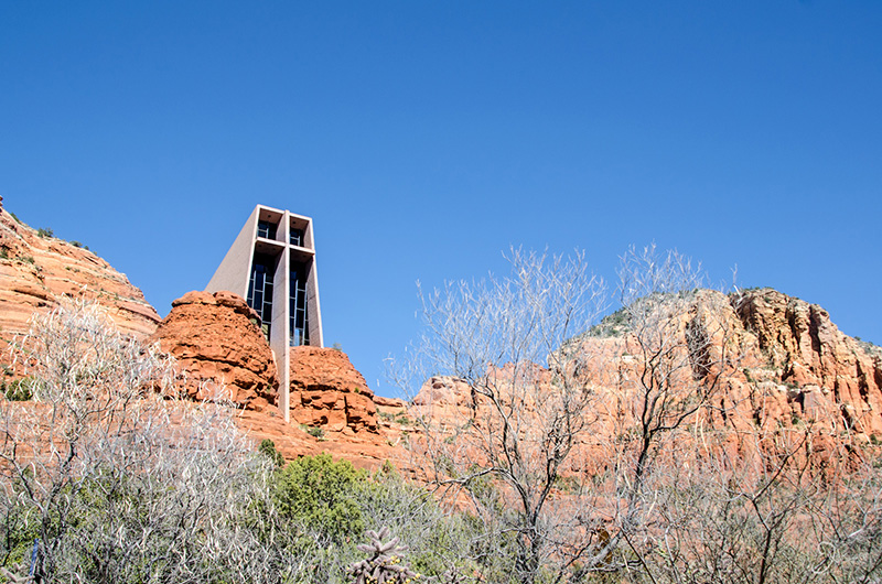
I've seen photos of this church several times over the years but never knew where it was. The Chapel of the Holy cross, located just south of Sedona's tourism center, is an excellent example of organic architecture, where its architect built the structure based on the natural infrastructure.

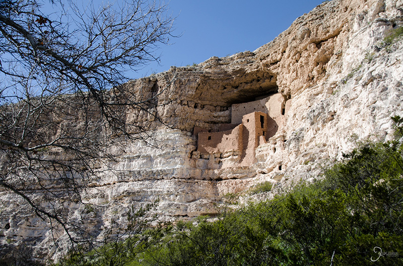
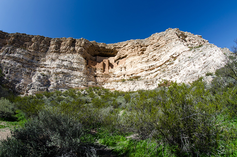
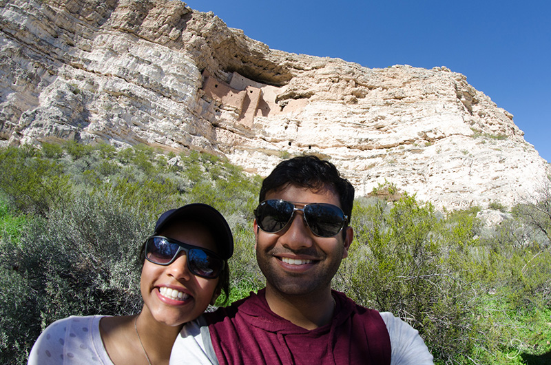
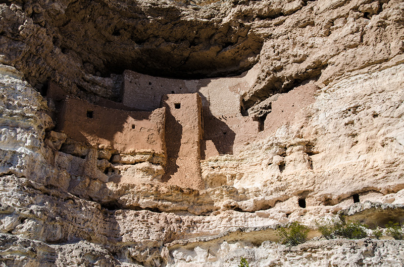
Although Montezuma's Castle is an impressive historical archeological sight considering that its village built high on a cliff face centuries ago, it was a bit underwhelming since there wasn't much information about it or access to it by visitors.


Agritopia

Gilbert, Arizona

Gilbert is the city right next door to where I was staying in Chandler, Arizona, and was my go to place for a quick taste bite. It is home to several eateries and venues, many of which have been featured on the Food Network. This, along with its growing nightlife, has become "the new Scottsdale" which attracts many young professionals.

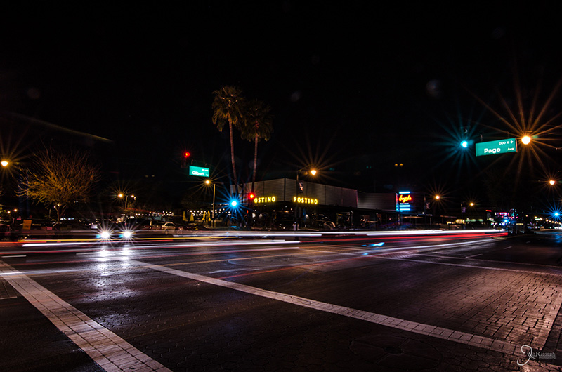
Downtown Gilbert, with Postino's across the intersection.

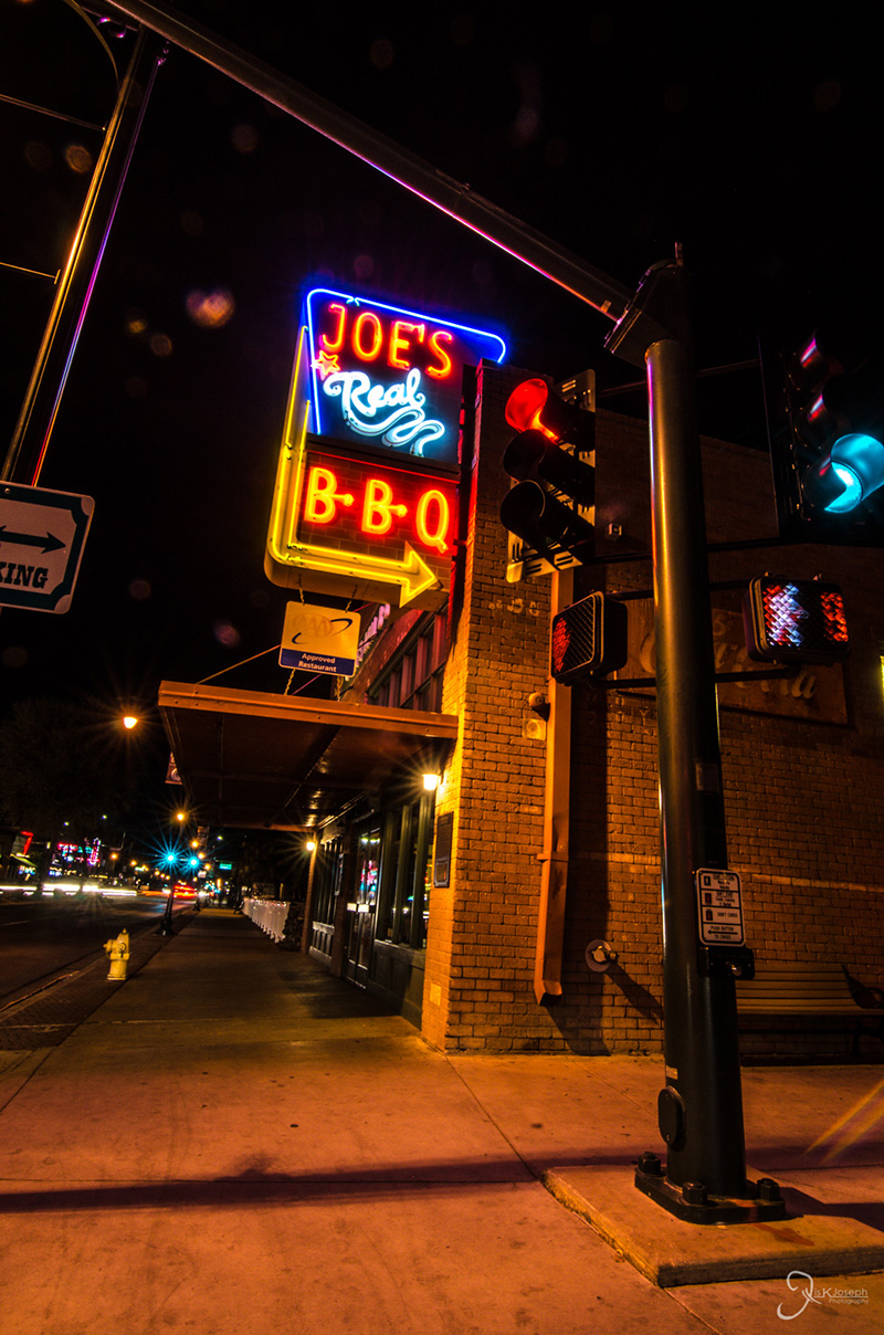
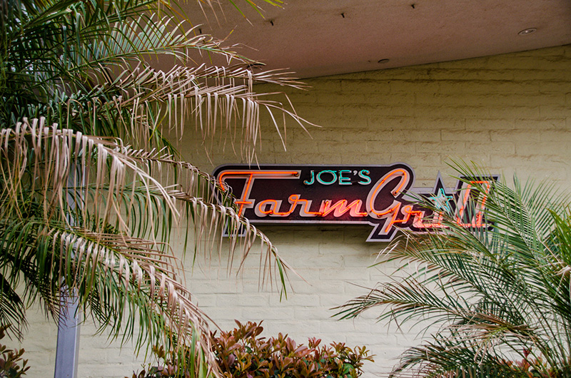
Joe's Farmgrille, located right next to Agritopia. So good I went there three times.

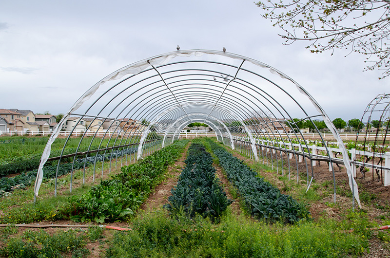
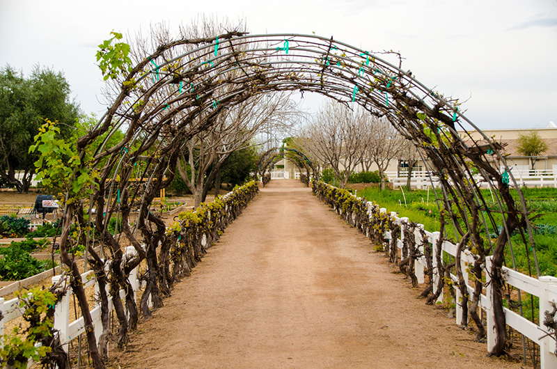
Agritopia is a few acres of farmland with an interesting twist. Homeowners from the surrounding blocks are allotted some farm space and are permitted to plant whatever they want and Agritopia's gardeners take care of the rest.

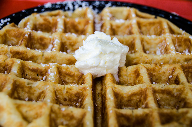
A belgian waffle from Joe's Farmgrille.

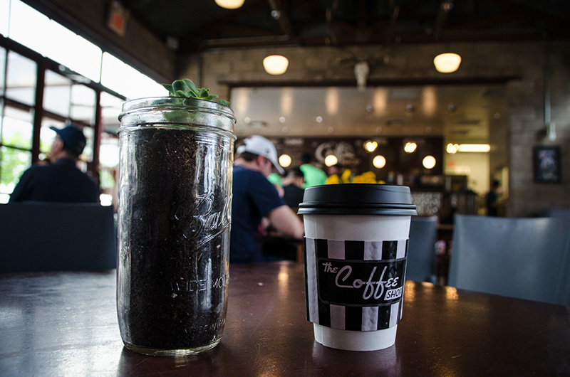
Got my hot chai fix from The Coffee Shop


The Chandler Ostrich Festival

Chandler, Arizona

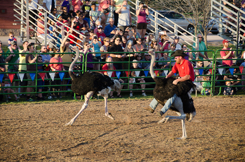
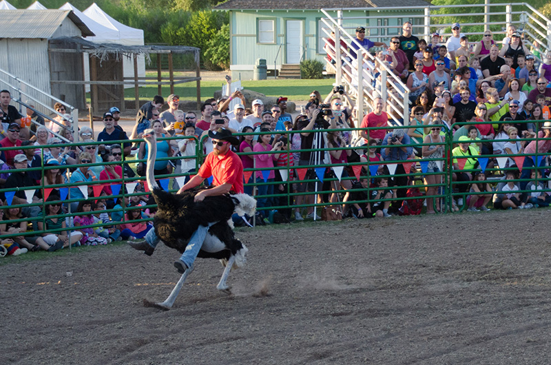
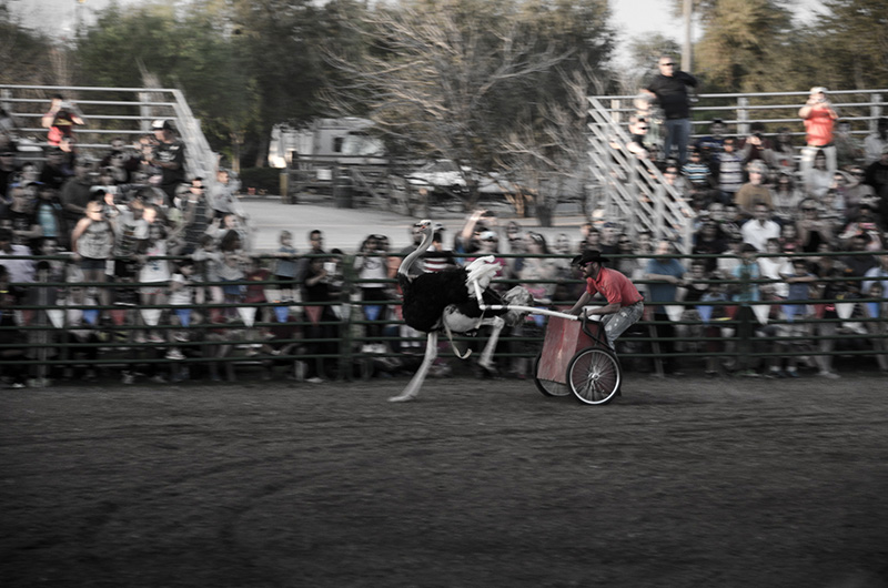
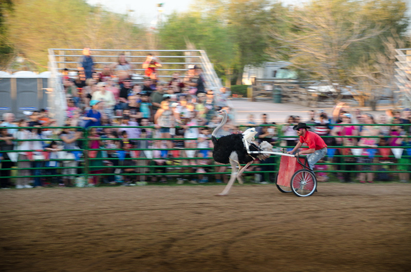
If there is anything that Chadler is known for, it's for the annual ostrich festival. The three day festival was one of the largest carnivals I have ever been to and was supported by an endless maze of carnival rides, games, food stalls, shows, and of course, ostrich races!

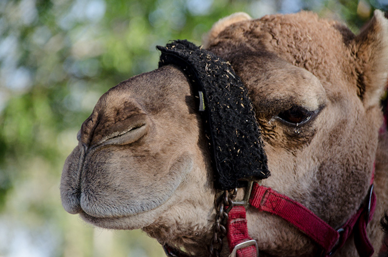
Camel!

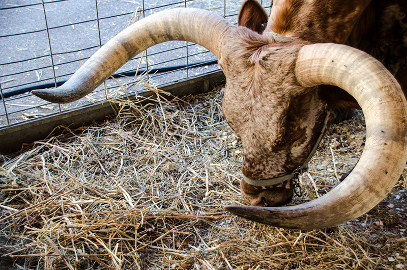
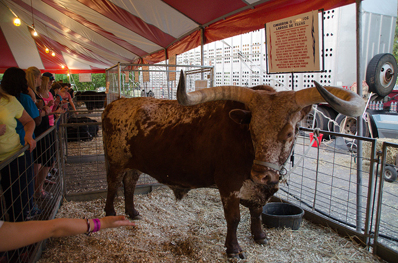
Despite driving through Texas, I only saw my first longhorn in Arizona.

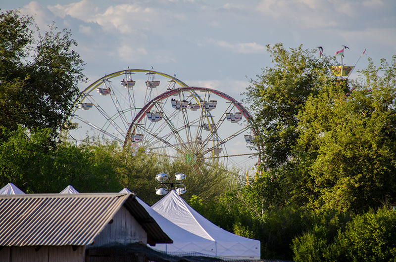
The carnival was so big, it needed two ferris wheels.

And they are off

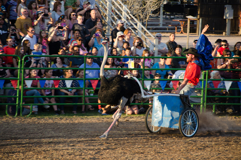
And there were chariots!

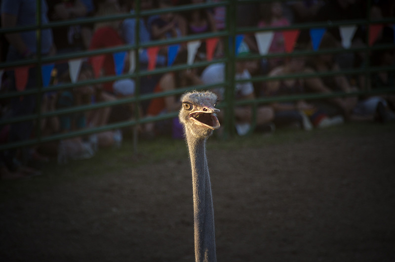
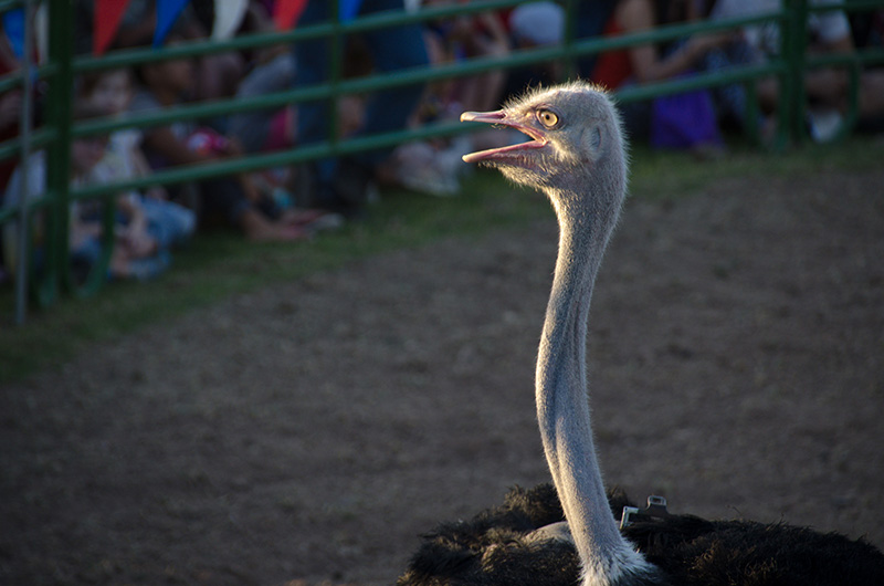
One of the angriest looking birds I have ever seen.

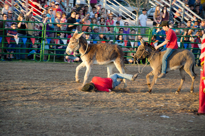
This shot looks like it didn't end well, but he survived.

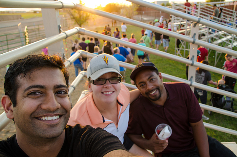
After 10 years of not seeing each other, I was able to meet up with my highschool friend, Kristina, and her boyfriend, Mike.

A human cannon ball!


The Hieroglyphic Trail

Arizona

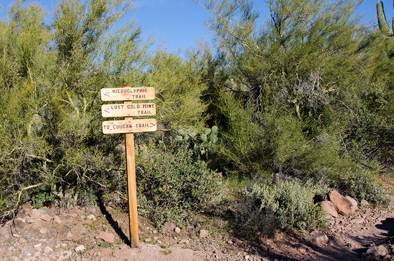
On my final weekend in Phoenix I went on a hike with my friend, Thorton, on the Hieroglyphic Trail. The name of the trail is a misnomer, as it refers to the "hieroglyphs" found along the trail that were left behind by the Native American's centuries ago and are actually called petroglyphs.

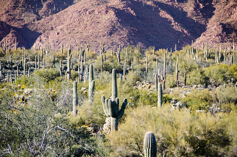
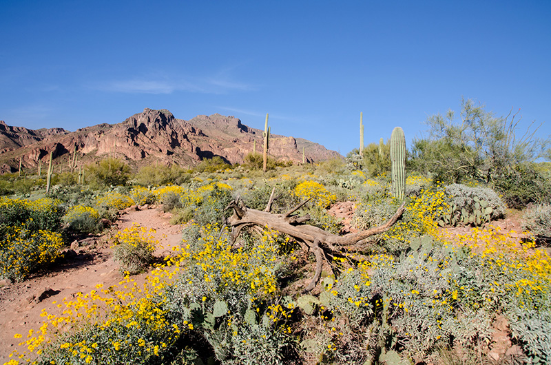
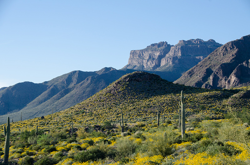
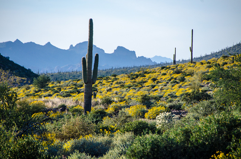
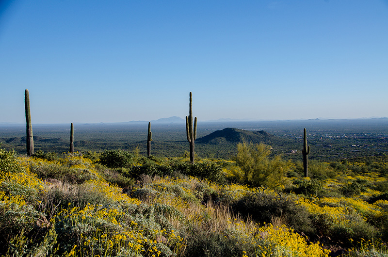
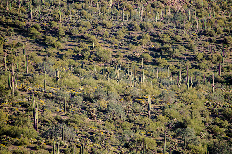
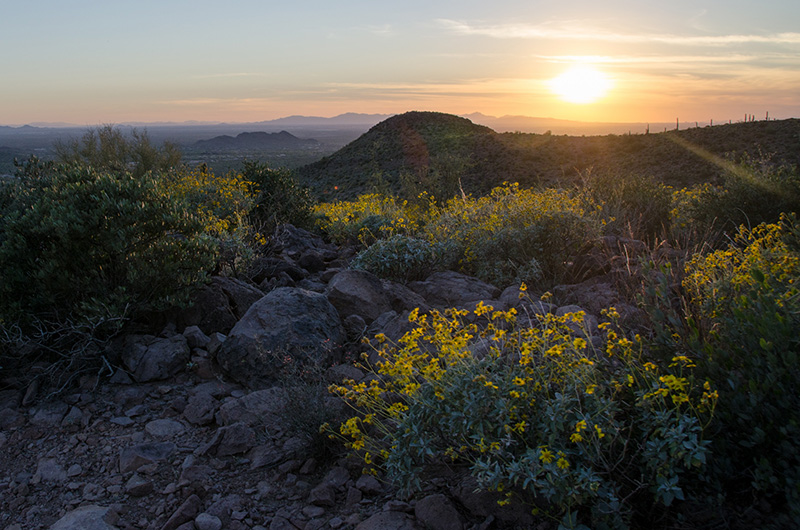
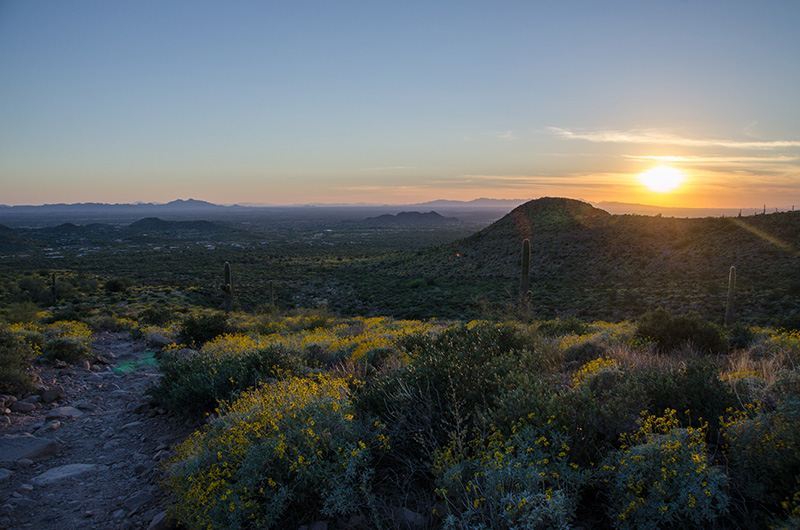
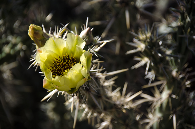
My last weekend in the green desert was near the start of the spring season. during this hike many of the cacti were blooming bunches of flowers.

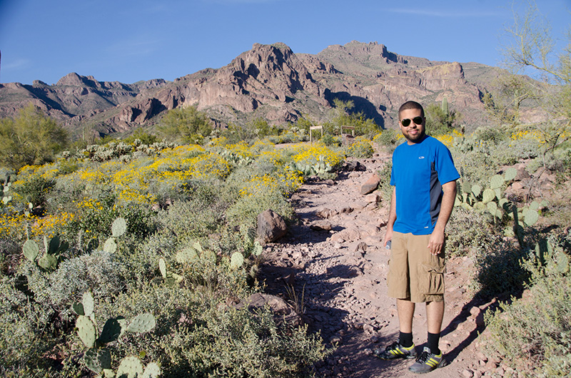
My friend, Thorton, who I met through Amritha in Emory University.

One of the tallest saguaro cactus I've seen during my trip. At least thirty feet tall.

The "green desert" doesn't look as green anymore.

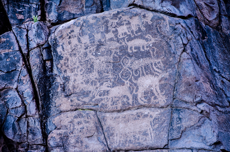
The only petroglyph I found along the trail.


Fort McDowell and Fountain Hills

Arizona

Despite being reassigned to finish my last clinical rotation near downtown Phoenix, I did manage to visit one of the nearby reservations to get an idea of what life is like for a pharmacist in rural country. At the northeastern edge of Phoenix's metropolitan area is community called Fountain Hills, which borders the Yavapai's reservation, Fort McDowell.

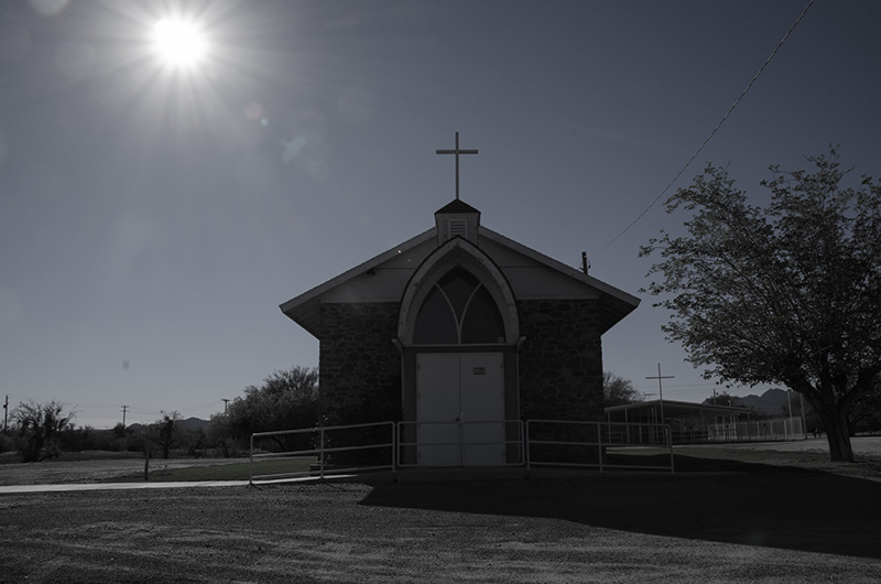
Many Native American's have been converted to christianity, so it's not uncommon to find churches in the reservations.

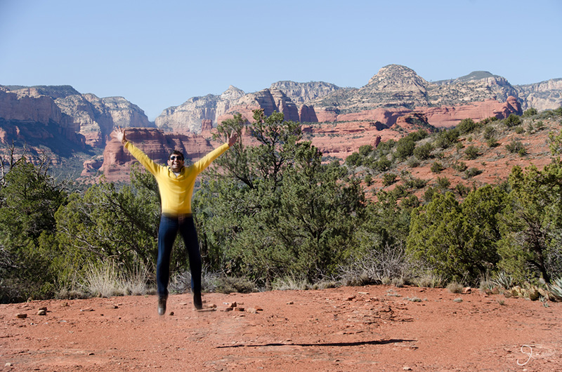
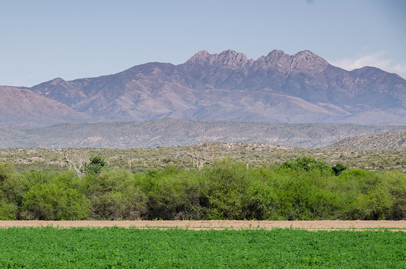
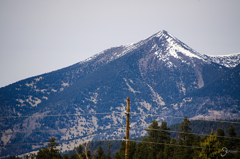
One of the most identifiable mountains around the Phoenix Valley is Four Peaks Mountain, named after its four peaks that make its crown.

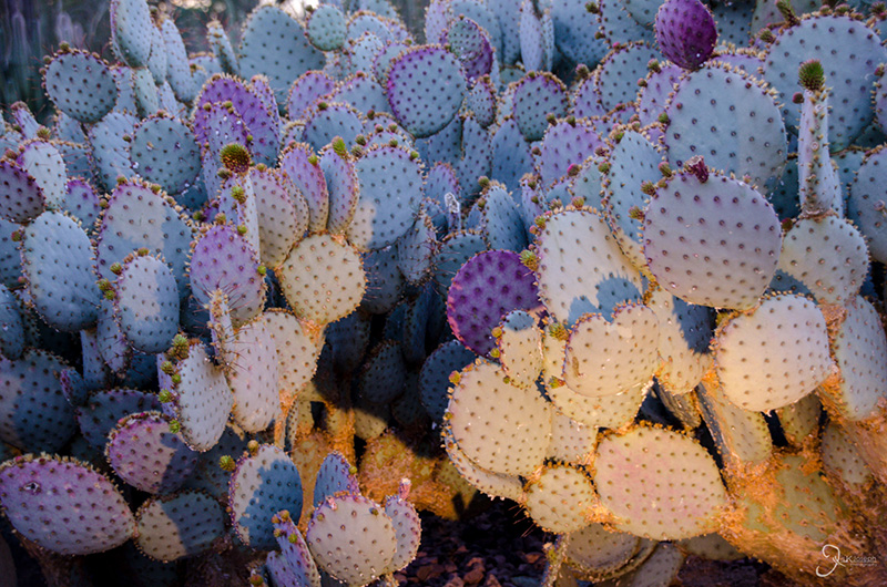
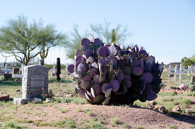
A purple prickly pear cactus. A rare find during my journey.
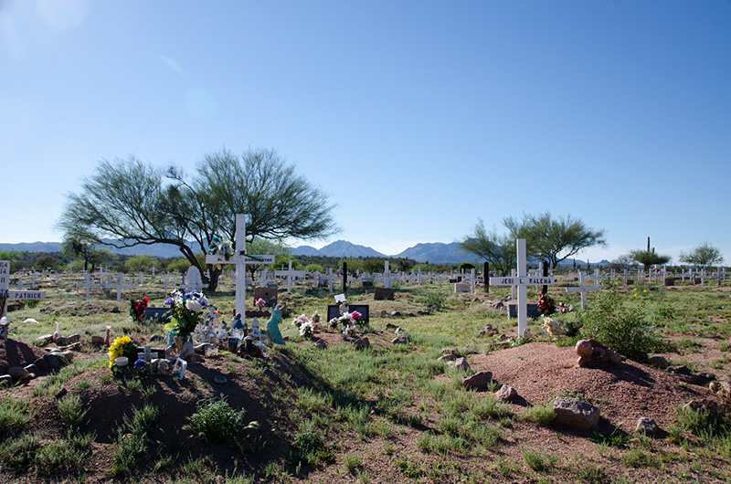
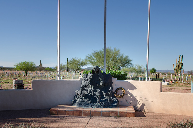
I ventured into the local cemetery to find that it wasn't much different from other cemeteries.

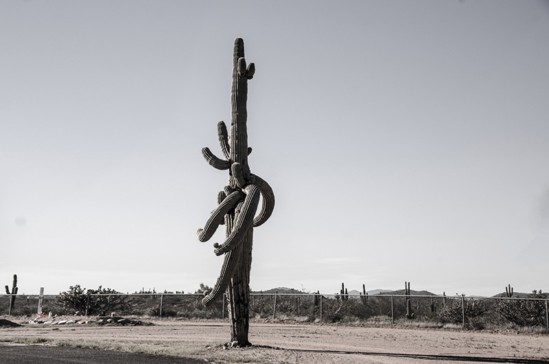
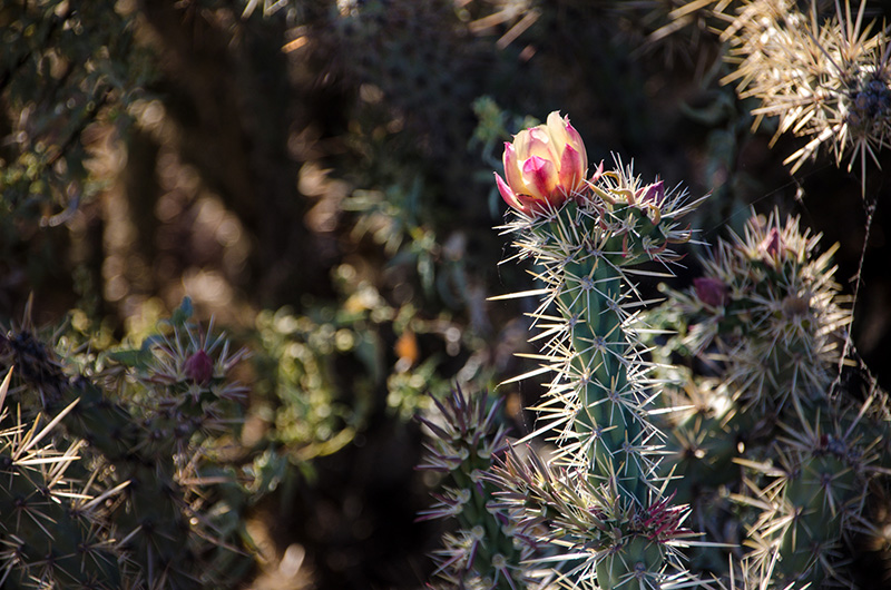
Looks like a mutant cactus.
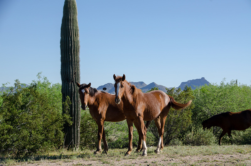
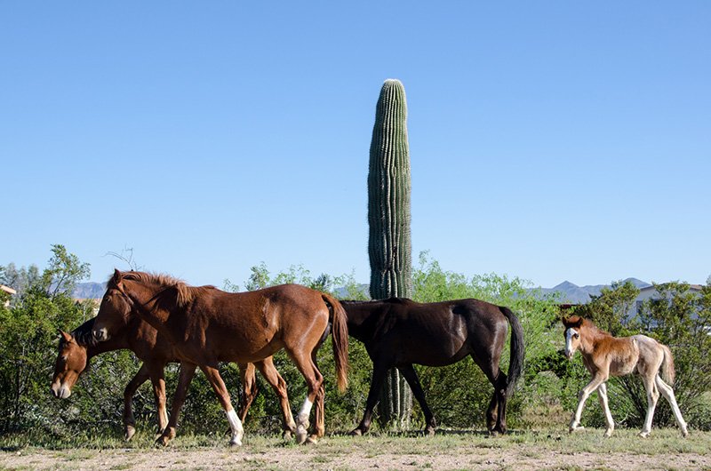
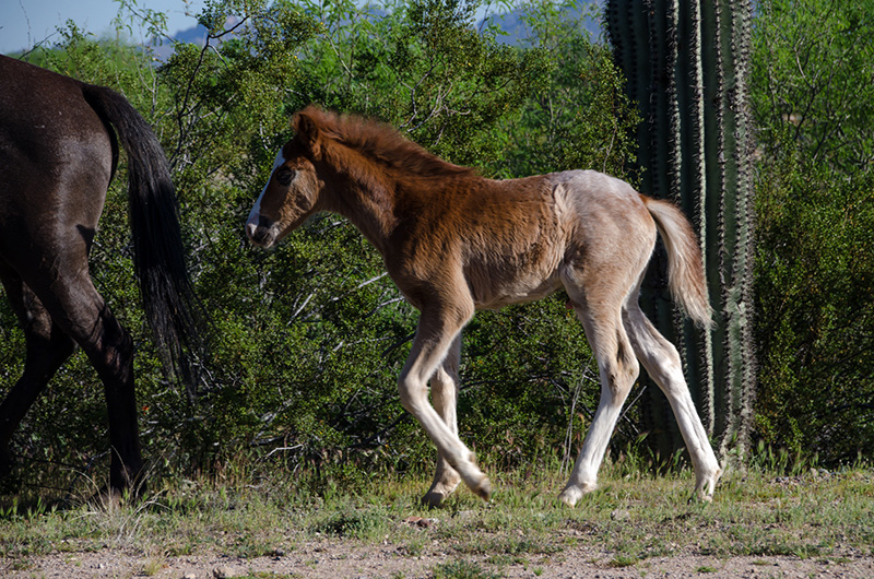
Feral horses were a common site out west, often walking along the roadsides, minding their own business.
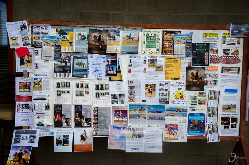
Feral horses were a common site out west, often walking along the roadsides, minding their own business.
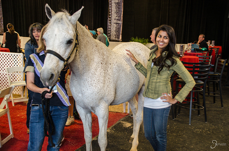
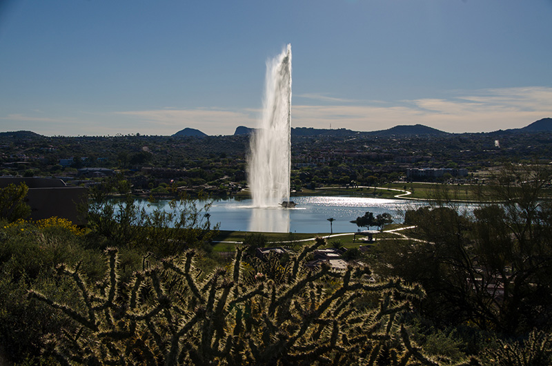
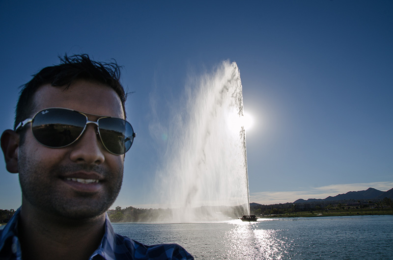
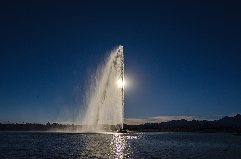
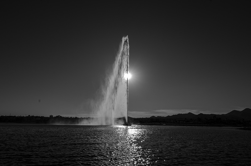
Fountain Hills is a community named after their beloved fountain. At 562 fett, it is the third tallest fountain in the world.
Return to Gallery Menu